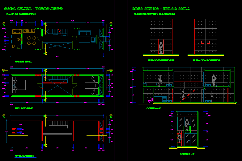
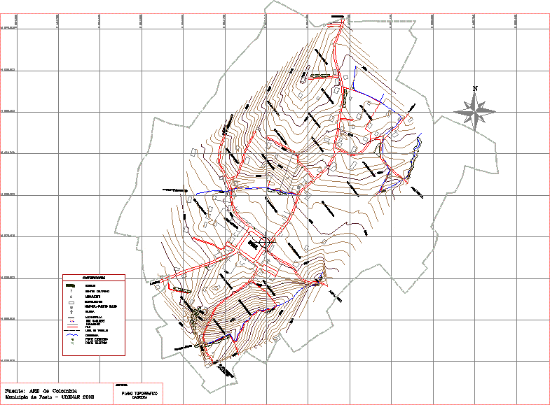
Map Cabrera Village, Narino, Columbia DWG Block for AutoCAD
ADVERTISEMENT
ADVERTISEMENT
drawing the village of Cabrera in the department of Narino, Colombia
Drawing labels, details, and other text information extracted from the CAD file (Translated from Spanish):
to the purgatory, quebrada duarte, to the lagoon, purgatory, crops-pastures, wall, to bellavista, park, central, q. the pile, grass, cemetery, box, liceo america, box coulbert, sewer, telephone pole, conventions, cabrera, contains :, topographic map, source: ard de colombia, hospital-health post, electric post, ravine, roads, wall, buildings, church, monument, educational center, forest, work area
Raw text data extracted from CAD file:
| Language | Spanish |
| Drawing Type | Block |
| Category | City Plans |
| Additional Screenshots |
 |
| File Type | dwg |
| Materials | Other |
| Measurement Units | Metric |
| Footprint Area | |
| Building Features | Garden / Park |
| Tags | autocad, beabsicht, block, borough level, colombia, columbia, department, drawing, DWG, map, nariño, political map, politische landkarte, proposed urban, road design, stadtplanung, straßenplanung, urban design, urban plan, village, zoning |
Related Products

Same Contributor

Featured Products