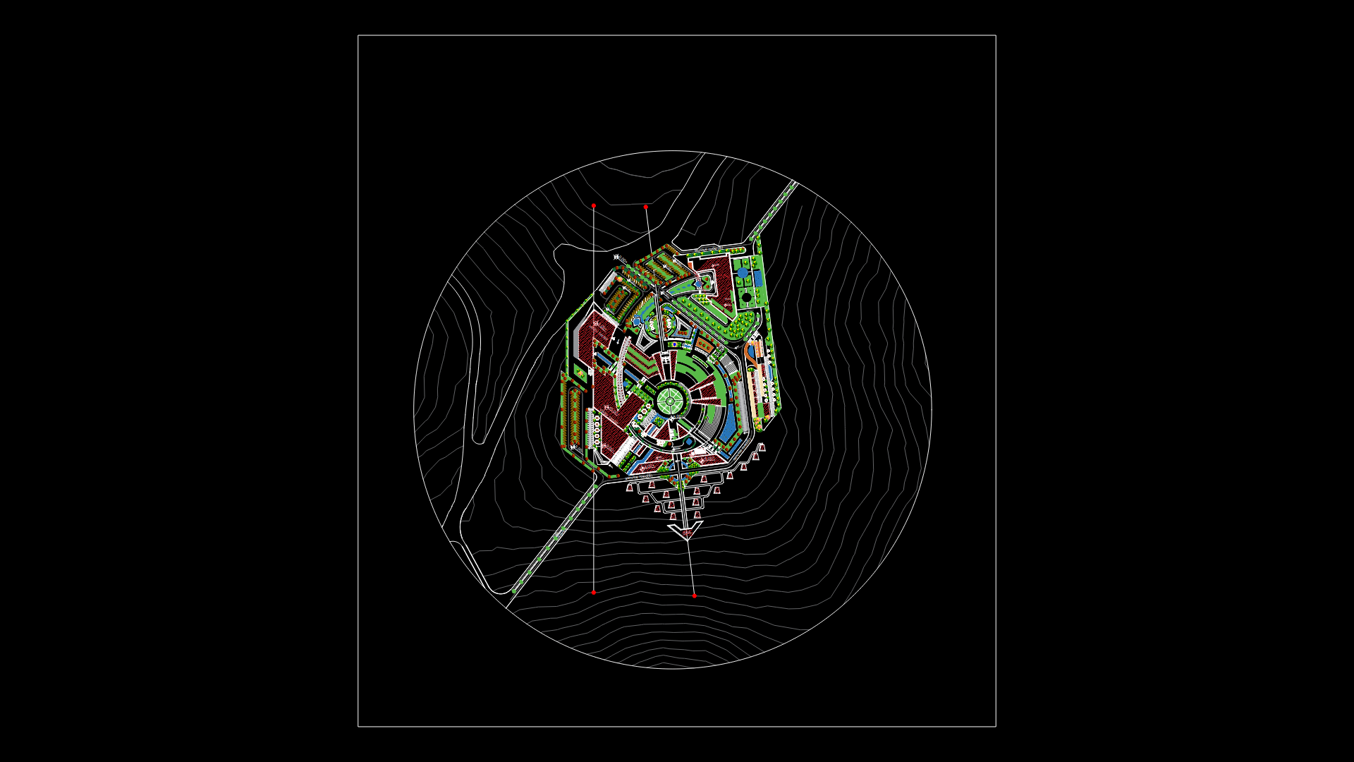
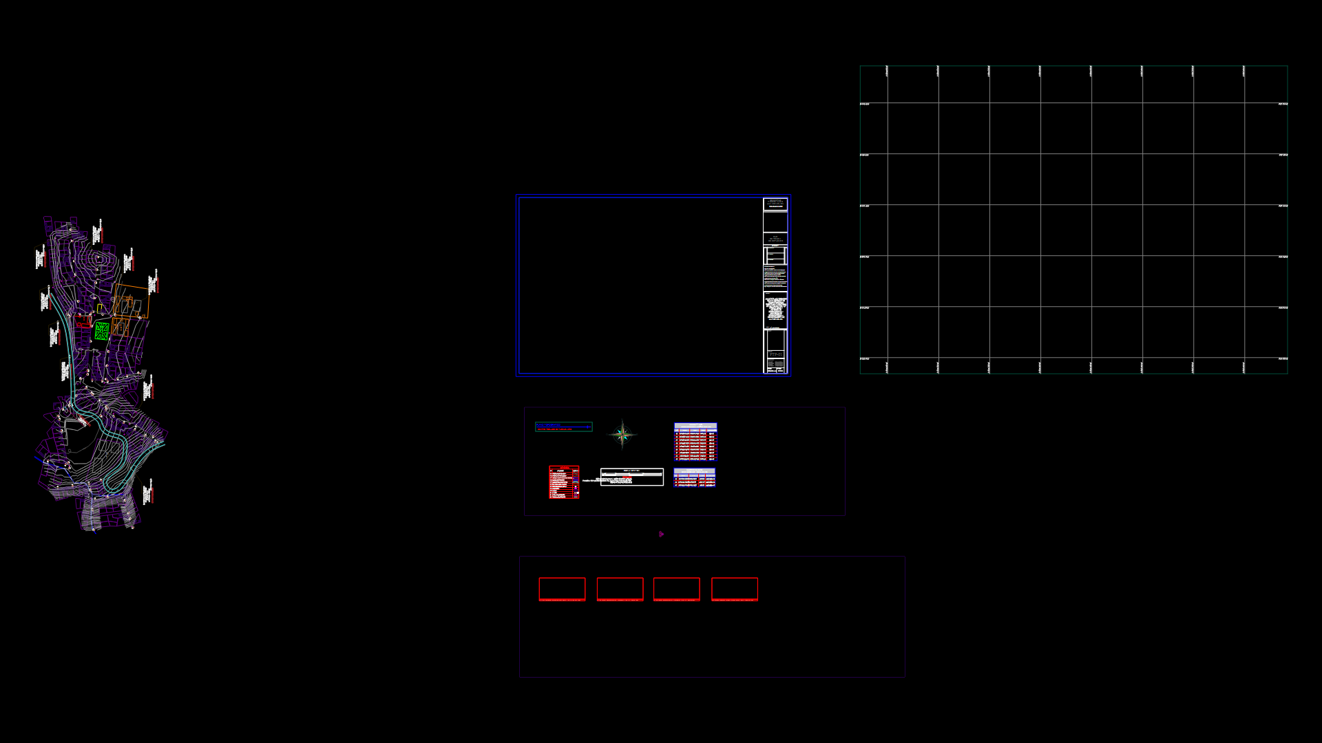
Map Casco Town, TecpÁN, Guatemala DWG Plan for AutoCAD
ADVERTISEMENT

ADVERTISEMENT
Plan of the town of the first capital of Guatemala, Guatemala Tecpán municipality
Drawing labels, details, and other text information extracted from the CAD file (Translated from Spanish):
colony iximché, colonia san francisco, colonia las flores, colonia manzanales, cipresales, pachaj bajo, pachaj alto, chinimaya river, la giralda river, a iximché, a santa apolonia, encounters, a guatemala, a patzún, a finca la colina , santa elena, munici- pality, barrio poroma, barrio asunción, barrio patacabaj, barrio san antonio, entrance to tecpán guatemala, entrance to tecpán guatemala, interamericana highway, municipal stadium, xejuyú recreational center, municipal cemetery, colonial church, argentina , rincon argentina, cruz del cerro, la giralda
Raw text data extracted from CAD file:
| Language | Spanish |
| Drawing Type | Plan |
| Category | City Plans |
| Additional Screenshots |
 |
| File Type | dwg |
| Materials | Other |
| Measurement Units | Metric |
| Footprint Area | |
| Building Features | |
| Tags | autocad, beabsicht, borough level, capital, DWG, guatemala, map, municipality, plan, political map, politische landkarte, proposed urban, road design, stadtplanung, straßenplanung, town, urban design, urban plan, zoning |


