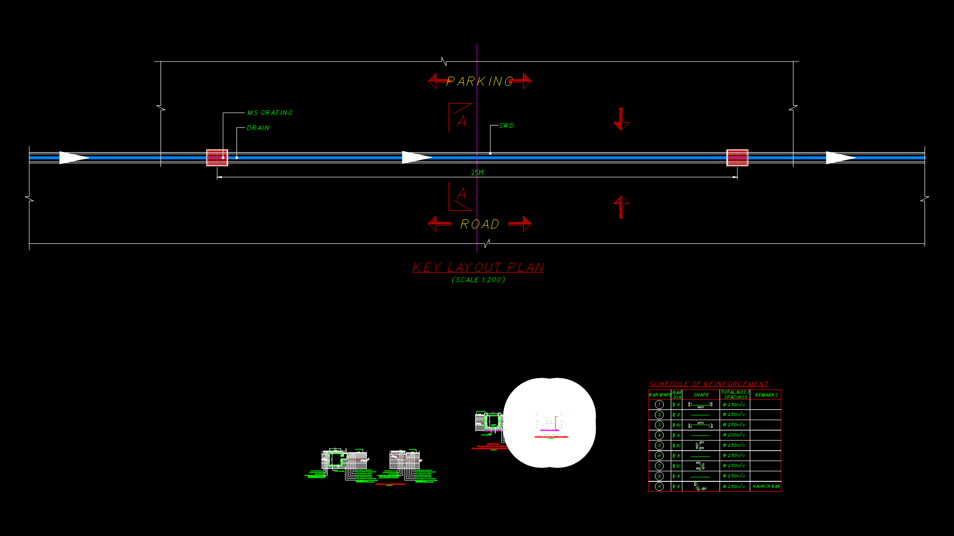
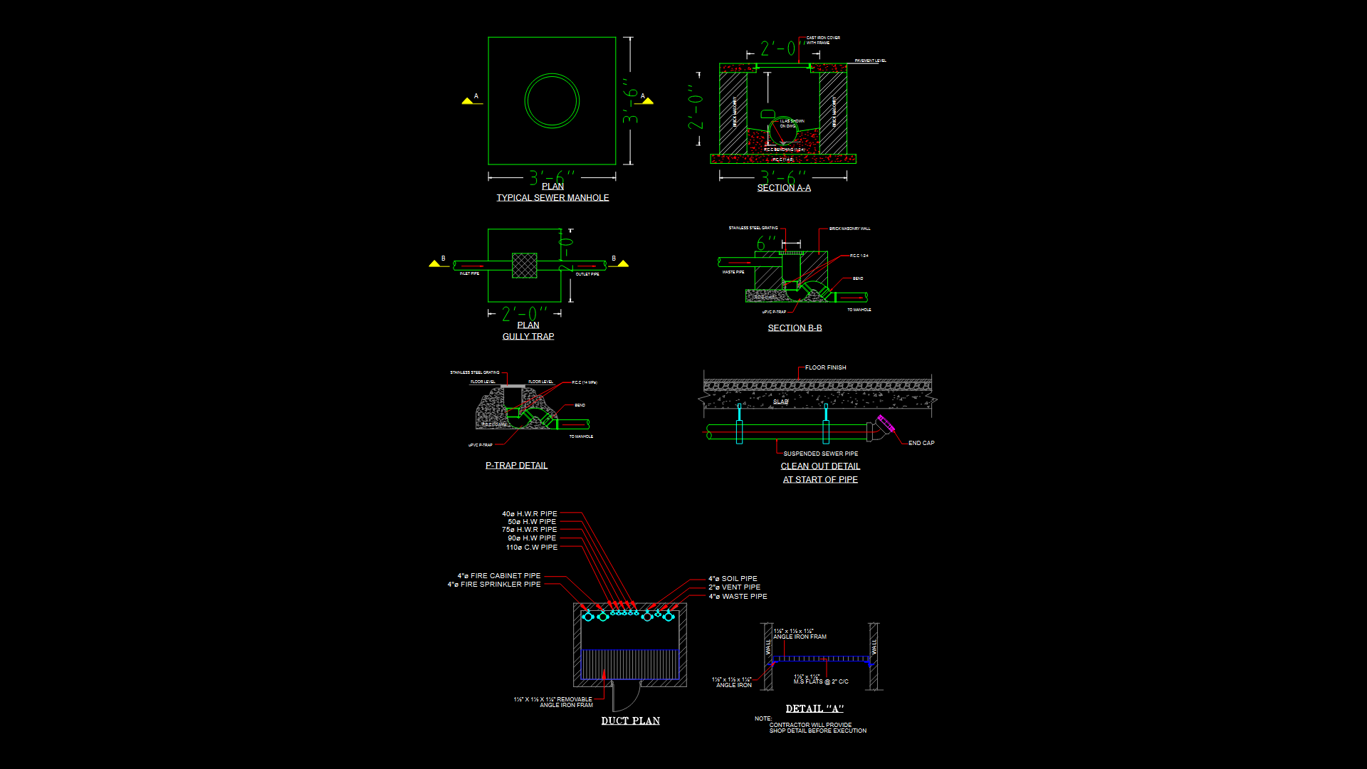
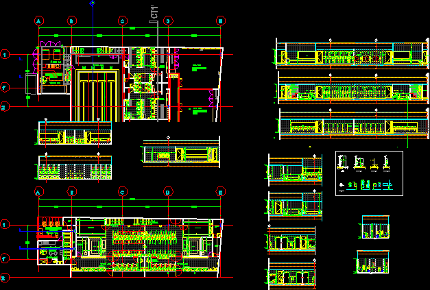
Map Location Of Wells And Groundwater DWG Block for AutoCAD

MONITORING WELLS AND LEVEL OF LAND AND GROUNDWATER – General Flatness – designations
Drawing labels, details, and other text information extracted from the CAD file (Translated from Spanish):
Nit .:, Rif., Production producer, Characteristics of existing water wells, water well, Coordinates, Well data, original, Renames, Mppa, On msnm, Depth, Diameter mm., Static level m., Lps flow rate, stratigraphic column, age, symbol, training, Lithology, Hydrogeological interest, quaternary, Lake alluvium, sedimentary rock, Gravel clays, high, Fluvial alluvium, Slime arena, high, Mesozoic, Cam, The mercedes, Metamorphic rock, Marble calcareous graffiti, Regular fractures, Pre mesozoic, Pmz, The tinaco complex, Blended gneiss, low, Collapsed well, Invalin s.a., av., Quigua pipe, B. youth, B. R. Urdaneta, Rualca, Royal, av. Henry ford, Negroven s.a., Carabobo, Storage, Kraft, Smurfit kappa, Insane, Quaker, av. North South, C. Sunday olavarria, Urb. industrial, Municipal south, or. The aguitas, water well, aisle, door of, emergency, Legend: out of service well producer well proposed collapsed well vertical electric survey static level level water depth flow rate of land level of water level of rock limit underground flow, That, Proposed well, C. Sunday olavarria, Roman, entry, channel, parking lot, av. airport, Quigua pipe, Urb. The aguitas, S.a., Industrial parceling, Existing wall, parking lot, Tanq., drinking water, Tanq., Tanq., B.v., tower, Tanq., parking lot, tower, Tanq., B.v., Ownership limit, B.v., water well, Ownership limit, Aux., Protection zone, plant of, treatment, aisle, door of, emergency, receiving, raw material, Reception station, Of raw material, Plant situation
Raw text data extracted from CAD file:
Drawing labels, details, and other text information extracted from the CAD file (Translated from Spanish):
Nit .:, Rif., Production producer, Characteristics of existing water wells, water well, Coordinates, Well data, original, Renames, Mppa, Even more, Depth., Diameter mm., Static level m., Lps flow rate, stratigraphic column, age, symbol, training, Lithology, Hydrogeological interest, quaternary, Lake alluvium, sedimentary rock, Gravel clays, high, Fluvial alluvium, Slime arena, high, Mesozoic, Cam, The mercedes, Metamorphic rock, Marble calcareous graffiti, Regular fractures, Pre mesozoic, Pmz, The tinaco complex, Blends of gneiss, low, Collapsed well, Invalin s.a., av., Cano quigua, B. youth, B. R. Urdaneta, Rualca, Royal, av. Henry ford, Negroven s.a., Carabobo, Storeroom, Kraft, Smurfit kappa, Insane, Quaker, av. North South, C. Sunday olavarria, Urb. industrial, Municipal south, or. The roses, water well, aisle, door of, emergency, Legend: out of service well producer well proposed collapsed well vertical electrical survey static level level water depth flow rate terrain level water level rock bottom underground flow, That, Proposed well, C. Sunday olavarria, Roman, entry, channel, parking lot, av. airport, Cano quigua, Urb. The roses, S.a., Industrial parceling, Existing wall, parking lot, Tanq., drinking water, Tanq., Tanq., B.v., tower, Tanq., parking lot, tower, Tanq., B.v., Ownership limit, B.v., water well, Ownership limit, Aux., Protection zone, plant of, treatment, aisle, door of, emergency, receiving, raw material, Reception station, Of raw material, Plant situation
Raw text data extracted from CAD file:
| Language | Spanish |
| Drawing Type | Block |
| Category | Water Sewage & Electricity Infrastructure |
| Additional Screenshots |
 |
| File Type | dwg |
| Materials | Other |
| Measurement Units | |
| Footprint Area | |
| Building Features | Car Parking Lot, Garden / Park |
| Tags | autocad, block, designations, DWG, flatness, general, groundwater, kläranlage, land, Level, location, map, monitoring, treatment plant, wells |


