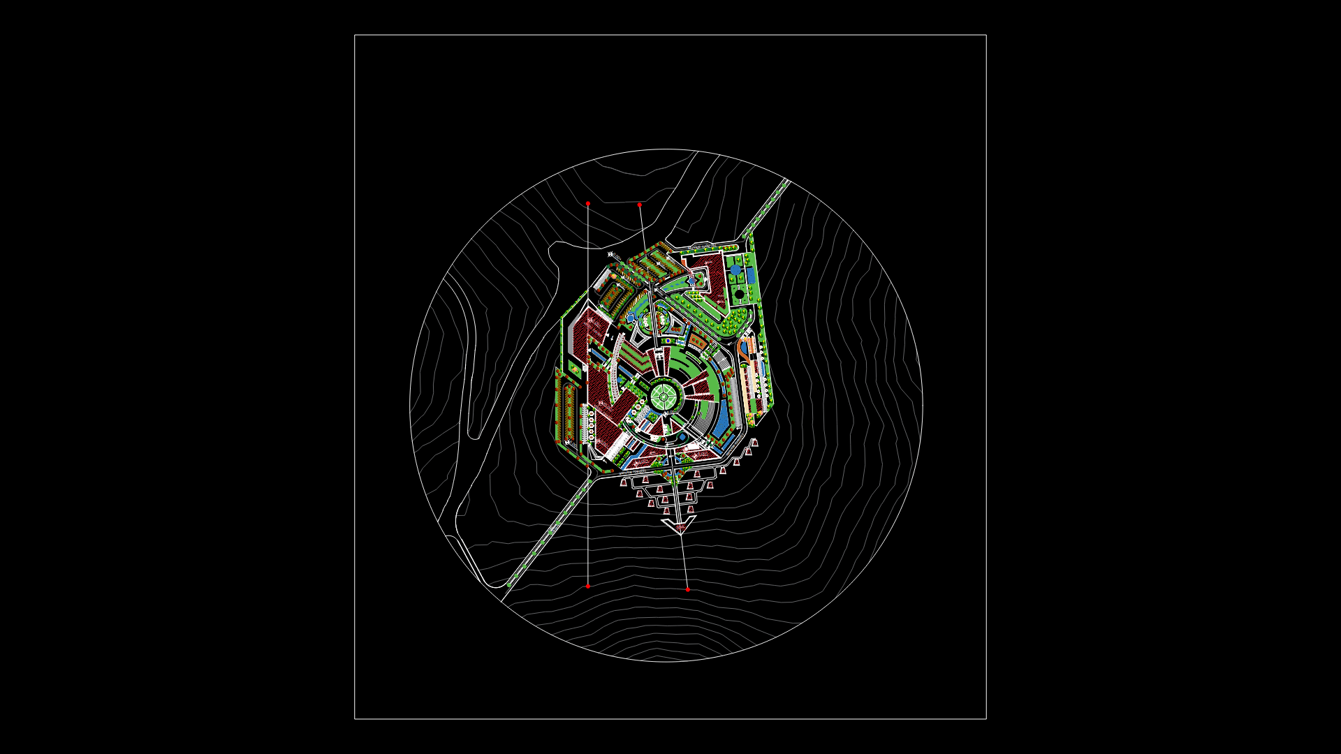
Map Of Cacatachi District Catastral Province Of San Martin – Peru Planimetries DWG Block for AutoCAD

PLANIMETRY- PARCEL
Drawing labels, details, and other text information extracted from the CAD file:
name, pbase, pvgrid, pegct, pfgct, pegc, pegl, pegr, pfgc, pgrid, pgridt, right, peglt, pegrt, pdgl, pdgr, jr. san juan bautista, jr. malecon, jr. de diciembre, jr. san martin, jr. independencia, jr. tarapoto, jr. sucre, jr. jose inca sanchez, jr. san martin, jr. adriana delgado, jr. jose inca sanchez, jr. jose mercedes hidalgo, jr. francisco bolognesi, jr. miguel grau, jr. roberto perez vela, jr. oscar r. benavides, jr. alfonso ugarte, jr. simon bolivar, caja, pegct, pvgrid, pegct, pfgct, pegc, pegl, pegr, pfgc, pgrid, pgridt, left, peglt, pegrt, pdgl, pdgr, pegct, pvgrid, pegct, pfgct, pegc, pegl, pegr, pfgc, pgrid, pgridt, left, peglt, pegrt, pdgl, pdgr, pegct, pvgrid, pegct, pfgct, pegc, pegl, pegr, pfgc, pgrid, pgridt, left, peglt, pegrt, pdgl, pdgr, pegct, pvgrid, pegct, pfgct, pegc, pegl, pegr, pfgc, pgrid, pgridt, left, peglt, pegrt, pdgl, pdgr, pegct, pvgrid, pegct, pfgct, pegc, pegl, pegr, pfgc, pgrid, pgridt, left, peglt, pegrt, pdgl, pdgr, datum elev, pegct, pvgrid, pegct, pfgct, pegc, pegl, pegr, pfgc, pgrid, pgridt, left, peglt, pegrt, pdgl, pdgr, pegct, pvgrid, pegct, pfgct, pegc, pegl, pegr, pfgc, pgrid, pgridt, left, peglt, pegrt, pdgl, pdgr, pegct, pvgrid, pegct, pfgct, pegc, pegl, pegr, pfgc, pgrid, pgridt, left, peglt, pegrt, pdgl, pdgr, pegct, pvgrid, pegct, pfgct, pegc, pegl, pegr, pfgc, pgrid, pgridt, left, peglt, pegrt, pdgl, pdgr, pegct, pvgrid, pegct, pfgct, pegc, pegl, pegr, pfgc, pgrid, pgridt, left, peglt, pegrt, pdgl, pdgr, pegct, pvgrid, pegct, pfgct, pegc, pegl, pegr, pfgc, pgrid, pgridt, left, peglt, pegrt, pdgl, pdgr, pegct, pvgrid, pegct, pfgct, pegc, pegl, pegr, pfgc, pgrid, pgridt, left, peglt, pegrt, pdgl, pdgr, pegct, pvgrid, pegct, pfgct, pegc, pegl, pegr, pfgc, pgrid, pgridt, left, peglt, pegrt, pdgl, pdgr, pegct, pvgrid, pegct, pfgct, pegc, pegl, pegr, pfgc, pgrid, pgridt, left, peglt, pegrt, pdgl, pdgr, pegct, pvgrid, pegct, pfgct, pegc, pegl, pegr, pfgc, pgrid, pgridt, left, peglt, pegrt, pdgl, pdgr, pegct, pvgrid, pegct, pfgct, pegc, pegl, pegr, pfgc, pgrid, pgridt, left, peglt, pegrt, pdgl, pdgr, pegct, pvgrid, pegct, pfgct, pegc, pegl, pegr, pfgc, pgrid, pgridt, left, peglt, pegrt, pdgl, pdgr, pegct, pvgrid, pegct, pfgct, pegc, pegl, pegr, pfgc, pgrid, pgridt, left, peglt, pegrt, pdgl, pdgr, pegct, pvgrid, pegct, pfgct, pegc, pegl, pegr, pfgc, pgrid, pgridt, left, peglt, pegrt, pdgl, pdgr, marginal hacia tarapoto, marginal hacia rioja, rio shupishiña, m.s.n.m., jr. sucre, plaza, estadio, servicio area
Raw text data extracted from CAD file:
| Language | English |
| Drawing Type | Block |
| Category | City Plans |
| Additional Screenshots | Missing Attachment |
| File Type | dwg |
| Materials | |
| Measurement Units | |
| Footprint Area | |
| Building Features | Car Parking Lot |
| Tags | autocad, beabsicht, block, borough level, catastral, district, DWG, map, martin, parcel, PERU, planimetries, planimetry, political map, politische landkarte, proposed urban, province, road design, san, stadtplanung, straßenplanung, urban design, urban plan, zoning |


