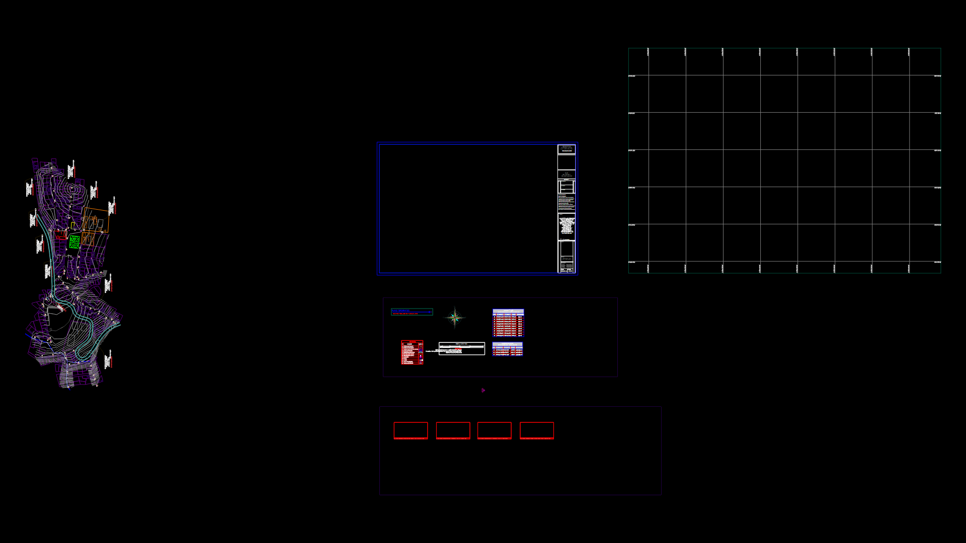
Map Of Streets Panama City DWG Block for AutoCAD

Contain all the streets of Panama City with their respective names
Drawing labels, details, and other text information extracted from the CAD file (Translated from Spanish):
hasta chorrera, until villa zaita, hasta chorrera, by step build, hasta chorrera, scattered, water tower, Park, scrub, swamp swamp, rice paddy, mud, trees, reef, legend, ancon, parsley, main way: with without islet, short pathways connecting paths, secondary signal, land mark, setpoint control point, green field playing field, terrain subject rice field, mud, scattered trees, swamp swamp, scrub, untested quota, terr. subject flood, sand, plantation, mangrove swamp, forest, buildings other buildings, religious building in the mosque, church, power transmission line, close, a grid azimuth, true north, angle of, to West, a magnetic azimuth, grid azimuth, to convert a, annual magnetic variation, retract the angle, magnetic north, north quad, magnetic bearing, to convert a, add the angle, grid convergence, for the center of the sheet, ways of communication, avenues streets, limits, populated places, emergency neighborhood, building set boundary, built area, district, corregimiento, province, crosswalk, corregimiento name, populated place name, width, height, high pass, path, clarke, average level of the sea, February of, black zone utm meters, transverse mercator, North American, national geographic institute, it is appreciated the people who use this map note mistakes mark them on the same, send them to the national geographic institute separated panamá., horizontal datum, aerial photographs, field classification, control performed by, level curves range of meters, additional curves range of meters, the last three digits of the grid numbers have been omitted., the maps received will be returned replaced if desired., prepared by, ellipsoid, Grid, vertical datum, compilation, projection, city of, to. province of panama district of panama a. b. corregimiento c. corregimiento d. corregimiento e. corregimiento f. corregimiento g. corregimiento h. corregimiento i. corregimiento j. corregimiento k. corregimiento, the numbers in small type of any number should not be taken into account, such numbers are to determine the complete of the coordinates. use only type numbers, to give a reference in this sheet the nearest meters, point used as an example: san mateo church, locate the vertical line of the grid located immediately to the left of the point read the large type figures corresponding either in the margin in the envelope on the same line: stimulate the tenth intervals between the line mentioned point:, locate the horizontal line of the grid immediately below the point read the corresponding large type numbers which can be seen in the margin in the envelope on the same line: stimulate the tenth interval of squares between the line mentioned punt
Raw text data extracted from CAD file:
| Language | Spanish |
| Drawing Type | Block |
| Category | City Plans |
| Additional Screenshots |
 |
| File Type | dwg |
| Materials | Wood, Other |
| Measurement Units | |
| Footprint Area | |
| Building Features | Car Parking Lot, Garden / Park |
| Tags | autocad, beabsicht, block, borough level, city, DWG, map, names, panama, political map, politische landkarte, proposed urban, respective, road design, stadtplanung, straßenplanung, streets, urban design, urban plan, zoning |


