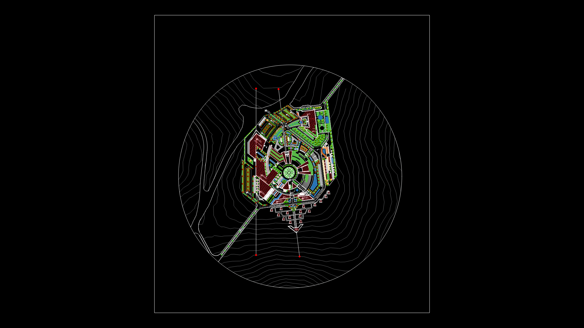
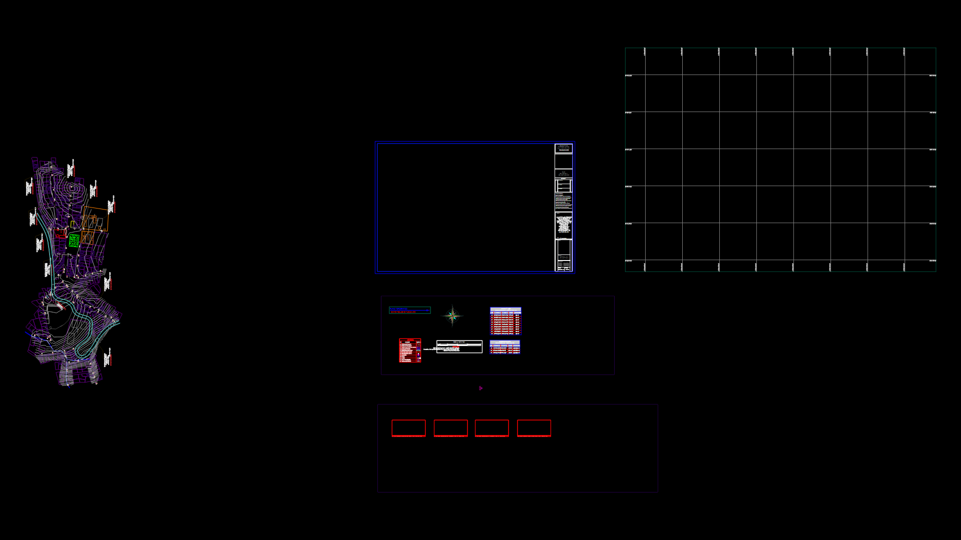
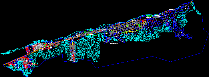
Map San Carlos, Brazil DWG Block for AutoCAD
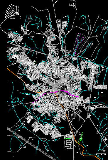
Charter San Carlos – SP, Brazil; bounded.
Drawing labels, details, and other text information extracted from the CAD file (Translated from Portuguese):
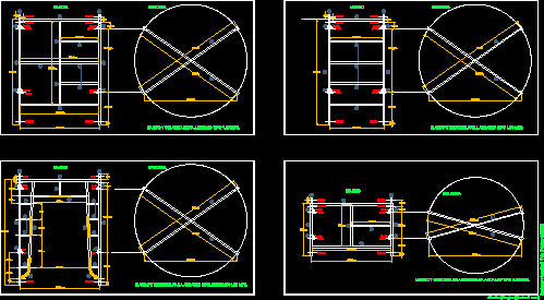
sidewalk, ne sw, nw, nw, nw, reserved owner area, leisure system, nw, ne sw, lightning, lightning, cross-section of the avenue hum scale, cross scale avenue of two scale, sidewalk, carabiner bed, central building site, carabiner bed, cross street scale profile, sidewalk, sidewalk, carabiner bed, carabiner bed, sidewalk, sidewalk, institutional use, n.m., lot, allotment, samir abdelnur, current samir abdelnur, brazil land rudder, area, of green lagoon emprend., street one hundred thirty five, lot, avenue, street one hundred thirty three, street one hundred thirty two, lot, lot, street cent one, Caio de Lima Corrêa, lot, street one hundred and thirty, street one hundred thirty one, lot, street twenty twenty eight, street one hundred twenty nine, lot, lot, lot, street one hundred twenty seven, lot, lot, lot, street twenty twenty six, lot, of green lagoon emprend., area, institutional use, legal reserve, non, leisure system, street one hundred thirty four, current roberto salvador carvalho others, ne sw, nw, ne sw, stream, joyful, Ranch, farm, stream
Raw text data extracted from CAD file:
| Language | Portuguese |
| Drawing Type | Block |
| Category | City Plans |
| Additional Screenshots |
 |
| File Type | dwg |
| Materials | Other |
| Measurement Units | |
| Footprint Area | |
| Building Features | Car Parking Lot, Garden / Park |
| Tags | autocad, beabsicht, block, borough level, bounded, brazil, carlos, charter, DWG, elevation, letter, map, political map, politische landkarte, proposed urban, road design, san, stadtplanung, straßenplanung, urban design, urban plan, zoning |
