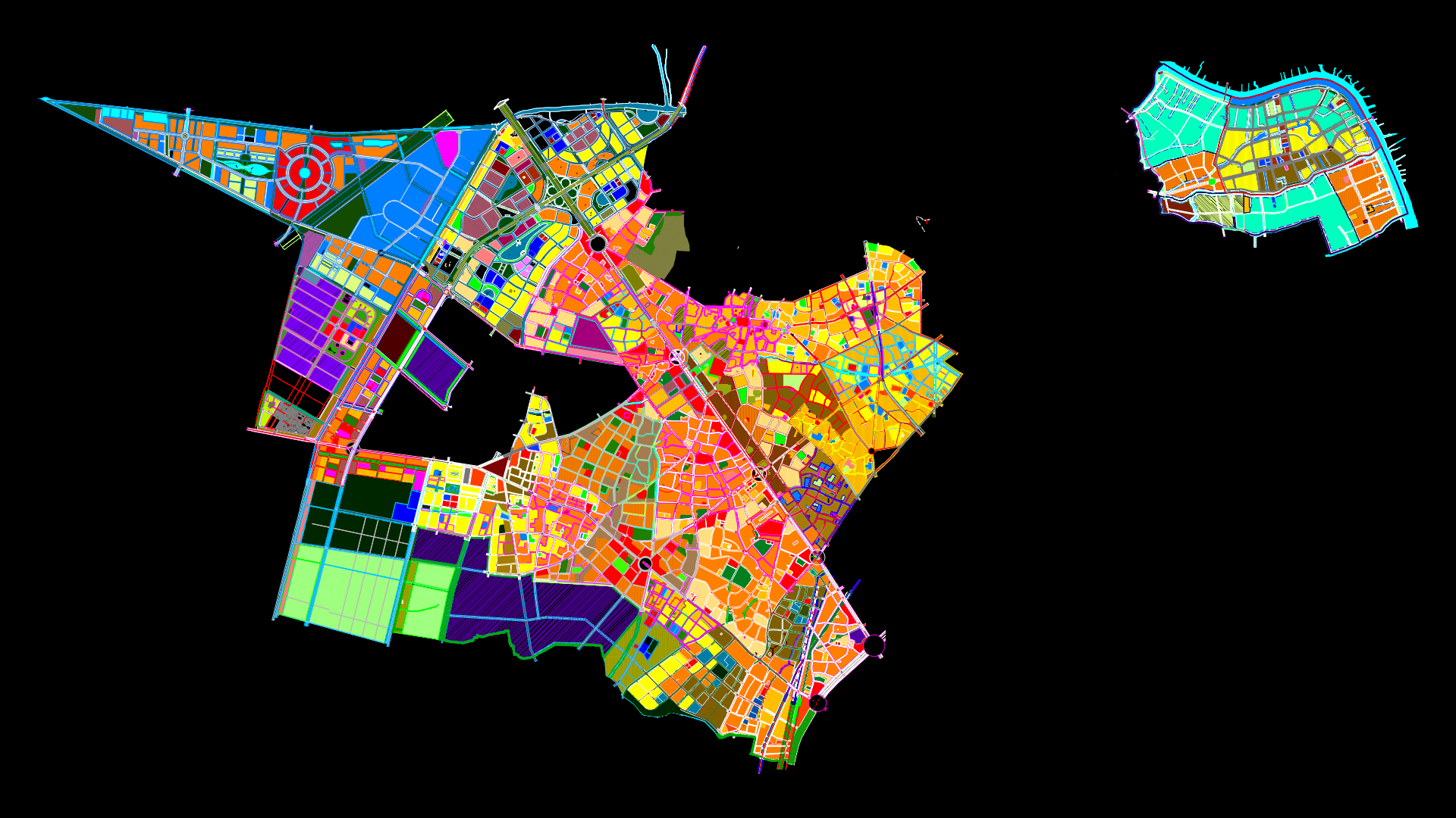
Mapping Cota DWG Block for AutoCAD

Mapping of Cota, Cundinamarca
Drawing labels, details, and other text information extracted from the CAD file (Translated from Spanish):
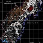
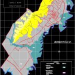
quota, nov, flood, landslides, forest fires, seismicity, moderate threat of, Moderate flooding, of seismicity, moderate landslides, high occurrence of, threat of, seismicity, forest, occurrence of fires, moderate threat of, forest, occurrence of fires, high threat of, moderate seismicity, occurrence of earthquakes, moderate threat of, threat type, grade, symbol, ifa, im, dem, ifm, dem, im, moderate seismicity, source: this, legend, yes, ifa, ifm, dem, im, yes, function, bogotá d.c., tenjo, chia, Republic of Colombia, municipality of quota, territorial arrangement planning, planning office, scale, natural hazards, quota, nov, general fitness of the territory, map no., legend, environmental rehabilitation, commercial services, agricultural, commercial protection, housing services, services, country house, living place, agricultural, services, environmental Protection, farming, environmental Protection, trade services, forest environmental protection, commercial services, living place, forest, fitness, forest, environmental Protection, symbol, territorial arrangement planning, Republic of Colombia, municipality of quota, planning office, scale, quota, nov, sidewalk, to open, the moya, sidewalk, majuy high, rio bogota, vda. plots, chicu river, lagoon, cune, River, motorway medellín, Republic of Colombia, department of cundinamarca, municipality of quota, territorial arrangement planning, tenjo, function, dc, cetime, sidewalk, old Town, climb up, chia, sidewalk rozo, big turn, sidewalk, engage, uniabastos, agricultural area, the Vega, River, ravine, drainage pipes, Level curve, body of water, municipal boundary, buildings, property, freeway, paved road, unpaved road, carreteable, path, private access, channel, school, high voltage line, swamp, planning office, to flourish a new, total area of the municipality has, conventions, basic cartography, industrial, scale, municipal cartographic base, concentrates, red crest, titan s.a., guadalajara, from to, guard, indigenous, urban area, rio bogota, ridge apple trees, flowers ridge, hill majuy, estate, the diamond, estate, santa helena, doing the manuela, Tiba flowers, doing the novitiate, peppermint, the cedar, river farms, the moya, beautiful loma, new school, the gioconda, estate, the meadow, rozo, fertilizes, inverflores ltda., the cedar, poultry, poplars, refuse, alcala, euro lactates, good view, cassette, horseshoe, rooms, the martens, estate, the juncal, ilarco, Siberia, potrero boy, estate, silesia, broken, service station, farm the coliseum, doing the gaira, the harvest, inderena, the roundabout, helicopter, San Rafael, estate, guadalajara, St nicolas, The corner, poultry, the Eden, universal flower, the porcelain, tropiflores, plots, miriápolis center, gardens picaranta, las vegas hacienda, the constance, florida park, indigenous reservation, broken short, cerrito, agroforestry, Siberia, water ridge, estate, Santa Cruz, the sociego, high voltage line, ravine, school, cetime, school, old Town, pleasure ridge, ridge of
Raw text data extracted from CAD file:
| Language | Spanish |
| Drawing Type | Block |
| Category | City Plans |
| Additional Screenshots |
     |
| File Type | dwg |
| Materials | |
| Measurement Units | |
| Footprint Area | |
| Building Features | Car Parking Lot, Garden / Park |
| Tags | autocad, beabsicht, block, borough level, cota, DWG, mapping, political map, politische landkarte, proposed urban, road design, stadtplanung, straßenplanung, urban design, urban plan, zoning |
