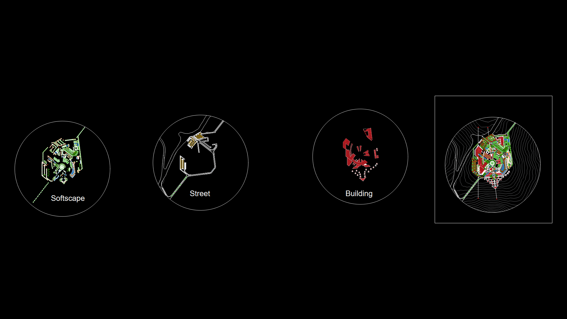
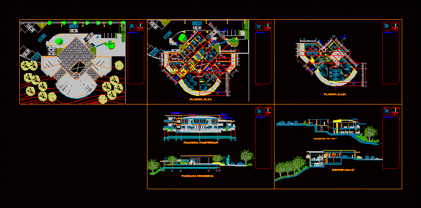
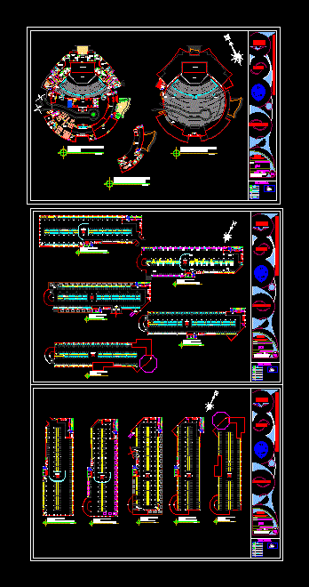
Pedregal, Locumba Peru Tourism Project- Petrogliphs DWG Full Project for AutoCAD

Tourist Route to see petrogliphs– sites,signed trails, vistas points.
Drawing labels, details, and other text information extracted from the CAD file (Translated from Spanish):
graphic scale, pap, water tank, rocky area, highway locumba – chipe, creek, progressive, cota terrain, level, terrain, wall type information panel tourism, petroglyphs scree, petrofligos scree, stone wall with concrete mortar, stone floor stone, virtual wood structure, stone quarry stone finish rustic, see detail dump, natural terrain floor, signage see detail, petroglyphs, scree, tree trunks, irregular stone cut stone floor, viewpoint, panoramic view, waterfall , cavern, river, area for bonfires, photographs allowed, throw of rubbish, prohibited the throw of rubbish, area of camping, picnic area, landslides, tourist information, rent of donkeys, waterfalls, stadium, zone of rock, project :, tourist corridor: salty river – tourist resource petroglyphs scree, tourist resource :, access platform of information, petroglyphs scree, signage in town, signaling, architecture, locumba touristic circuit
Raw text data extracted from CAD file:
| Language | Spanish |
| Drawing Type | Full Project |
| Category | Hotel, Restaurants & Recreation |
| Additional Screenshots |
|
| File Type | dwg |
| Materials | Concrete, Wood, Other |
| Measurement Units | Metric |
| Footprint Area | |
| Building Features | |
| Tags | autocad, DWG, full, Hotel, inn, PERU, points, Project, resort, route, tourism, tourist, tourist resort, trails, villa, Whereabouts |


