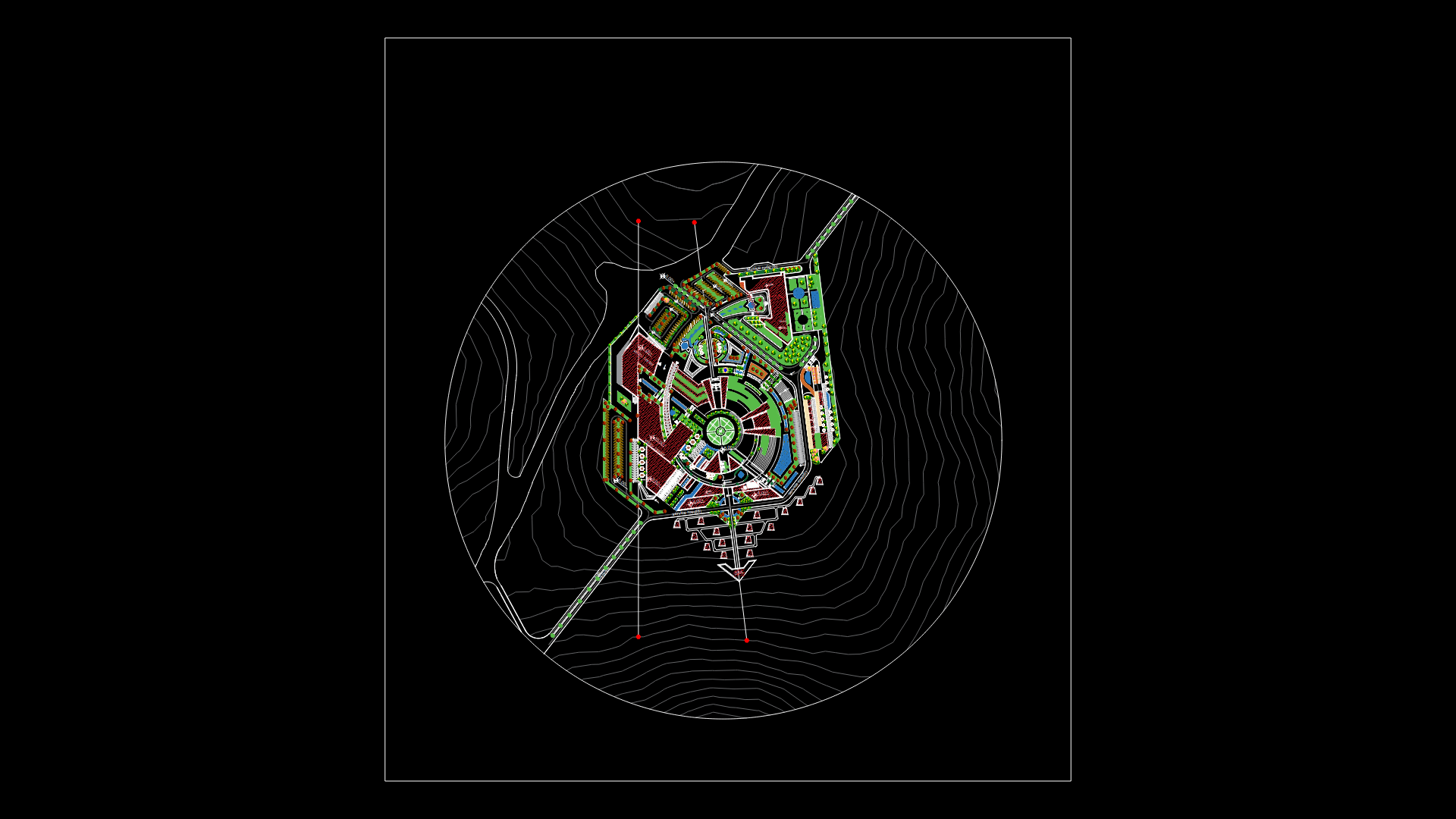
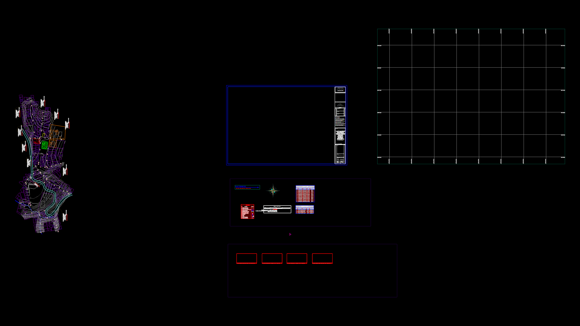
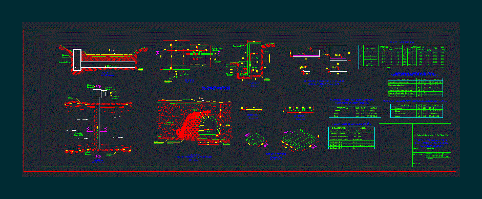
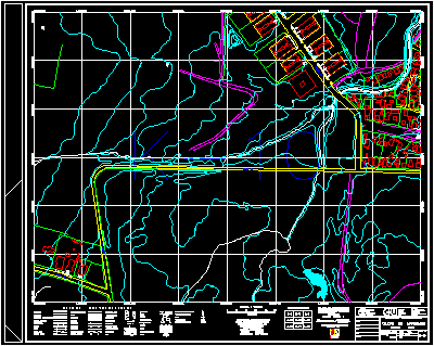
Plano San Gil Urban DWG Block for AutoCAD

Topographic Map of San Gil Santander muncipio in the village of the same
Drawing labels, details, and other text information extracted from the CAD file (Translated from Spanish):
santander avenue, villa carola neighborhood, san antonio neighborhood, la sagrada familia neighborhood, del rosario village, tierrero, fairground, fair district, slaughterhouse, coca cola, transport, electrification, major seminary, retreat house, annunciation , stadium, basketball court, villa olimpica urbanization, cementos andino, service station, colombia neighborhood, san martin neighborhood, rehabilitation center, santander neighborhood, san gil social, el porvenir neighborhood, industries, e. pedro fermin v, firefighters volunteers, neighborhood la victoria, barrio red pinilla, qda. la laja, protabaco sa, market house, neighborhood carlos martinez, child jesus, children’s home, service station, school our lady, neighborhood pablo vi, treatment plant, walk mango, urbanization altamira, ragonessi neighborhood, maria auxiliadora neighborhood , regional hospital, san juan de dios, san carlos neighborhood, liceo, house of culture, the lomitas, coltabaco sa, cooperative of coffee farmers, the prairie, pumping plant regional aqueduct, citadel jose a galan, neighborhood towers of the castle, sector the bend, natural park the gallineral, gasan, buenavista, the ceiba, villa ximena, neighborhood the beach, the palm, hotel bella island, national police, matecaña, the spoon, the mango, curiti creek, neighborhood fatima, avenue leonidas medina, sports field, cooperative school, registry office, grotto district, asylum, river fonce, santa cruz school, south santander, san vicente de paul, san antonio, santa cruz clinic, de la loma, hill of the cross, politecnico school , high d the gallineral, urbanization, the grotto, the town, new neighborhood pablo vi, hipinto gassies, maria auxiliadora, los angeles, c. Luis Camacho, bottling, of the presentation, e. holy family, holy family, olives, fimar, san carlos, circus of bulls, e. san martin, san martin, sena, cohilados del fonce, cemetery, risen christ, ntra. sra del carmen, san francisco, cas, cathedral, diocesan curia, guanenta school, workshops, acuasan andina s.a., coliseo, lorenzo alcantuz, unisangil unab, c. the rosary, municipal mayor’s office, terminal, institute of, social security, e.carlos martinez, c. san carlos, e. rodolfo gonzalez, palace of justice, fiscalia, das, barrio el centro, civil defense, barrio san juan de dios, barrio el bosque, barrio el cementerio, barrio el verjel, industrial district, citadel del fonce, acacias neighborhood, a cabrera, a barichara, a bucaramanga, a charala, a bogota, saludcoop, cajaan, finasema, coosalud, banpolpular, bancolombia, granahorrar, banagrario, bancafe, centroabastos, yew committee, sports center, country club, pablo vi, los pinos neighborhood, hotel cacique , guanenta, urbanizacion bella isla, school pablo vi, exit
Raw text data extracted from CAD file:
| Language | Spanish |
| Drawing Type | Block |
| Category | City Plans |
| Additional Screenshots |
 |
| File Type | dwg |
| Materials | Other |
| Measurement Units | Metric |
| Footprint Area | |
| Building Features | Garden / Park |
| Tags | autocad, beabsicht, block, borough level, DWG, map, plano, political map, politische landkarte, proposed urban, road design, san, stadtplanung, straßenplanung, topographic, urban, urban design, urban plan, village, zoning |
