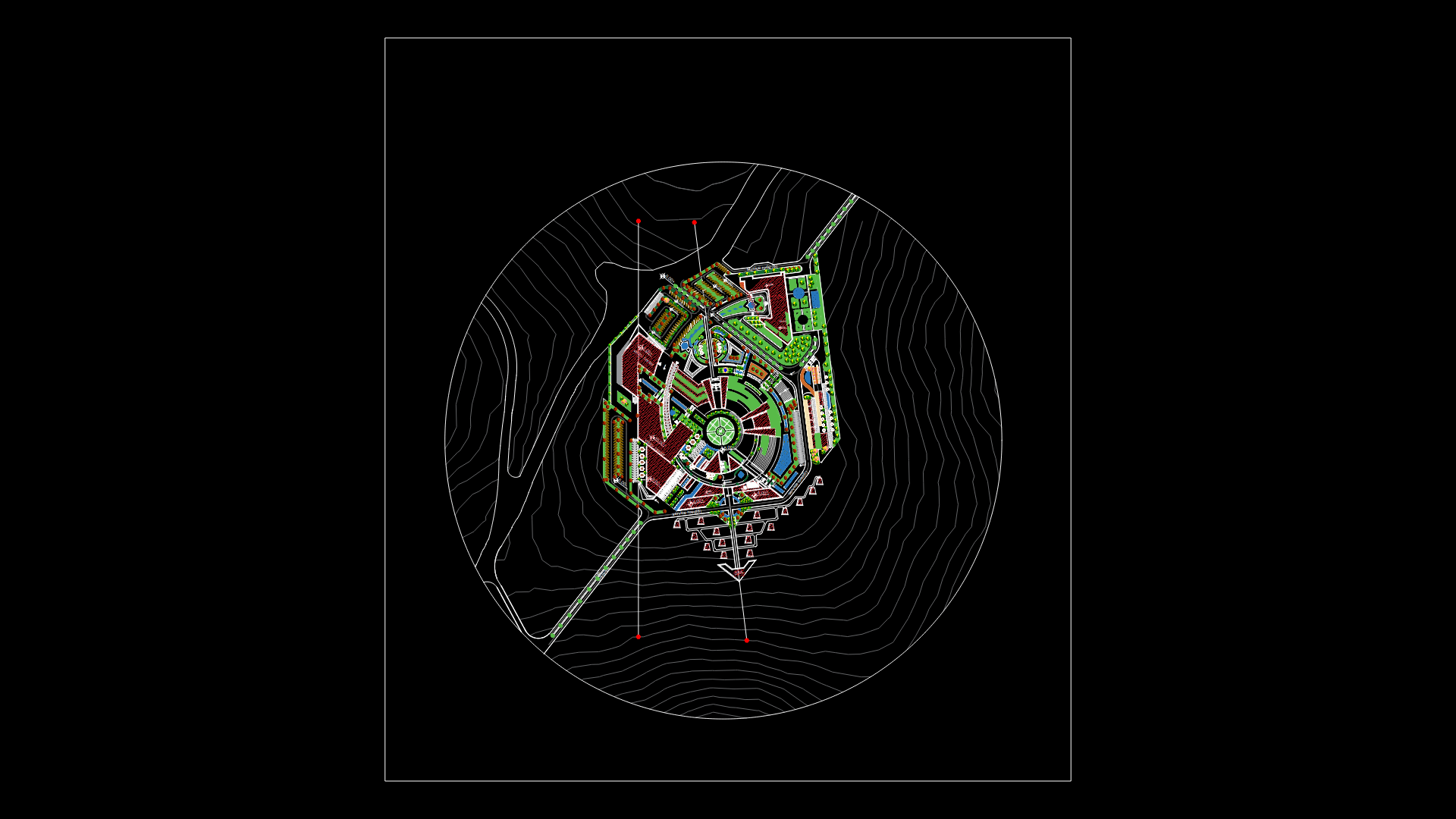
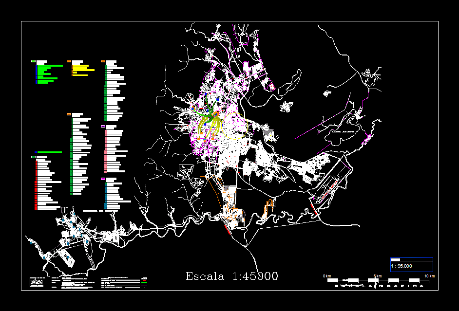
Reservoir Of Tinajones – Peru DWG Block for AutoCAD

Reservoir in Tinajones – Peru
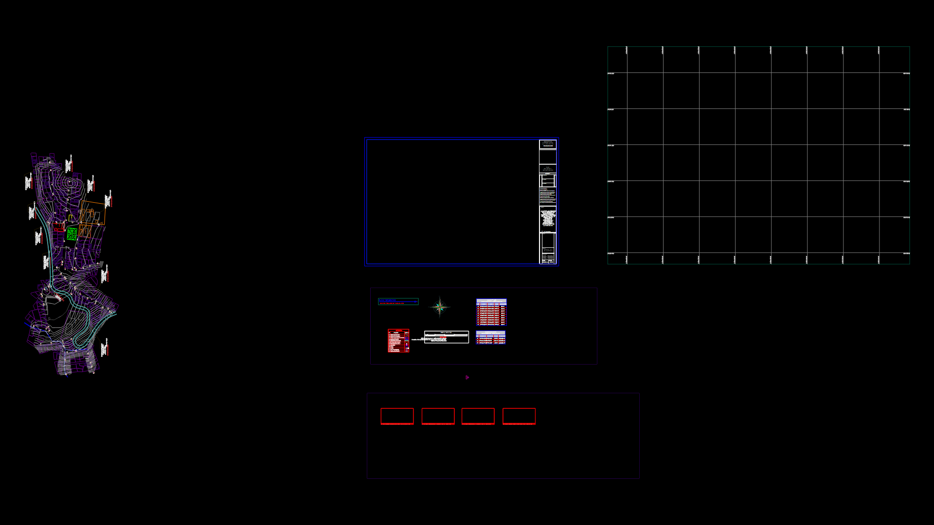
Drawing labels, details, and other text information extracted from the CAD file (Translated from Spanish):
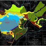
executive direction of the special project, draft:, rev. n., flat, approved, Republic of Peru, depolt, national development institute, correction correction, date, flat:, date:, resp .:, approved, esc .:, elab .:, rev .:, partial, total, key:, file:, feeder, channel, juana rios, tinajones, chongoyape, cù raca rumi, walls, the actions, tinajones, algarrobal, bad step, pampa of abrojal, burnt hill, black hole, large stone, cerrillos, lookout, corral of holes, pampa de tablazo, qda., rivers, Juana, feeder channel, camp, reservoir, tinajones, camp, bad step, reservoir security area, area has., reservoir security area, environmental conservation zone, selective afforestation zone, area of natural pastures, urban zone, agricultural area, water level, legend, from chiclayo, physical sanitation legal areas of, reservoir security, location plan, November, arq. m. ramirez, dir.estudios, ing.carlos cullas s., arq. c. villalobos t., executive direction, ing.oscar valdivia a.
Raw text data extracted from CAD file:
| Language | Spanish |
| Drawing Type | Block |
| Category | City Plans |
| Additional Screenshots |
 |
| File Type | dwg |
| Materials | |
| Measurement Units | |
| Footprint Area | |
| Building Features | Car Parking Lot |
| Tags | autocad, beabsicht, block, borough level, DWG, PERU, political map, politische landkarte, proposed urban, reservoir, road design, stadtplanung, straßenplanung, urban design, urban plan, zoning |
