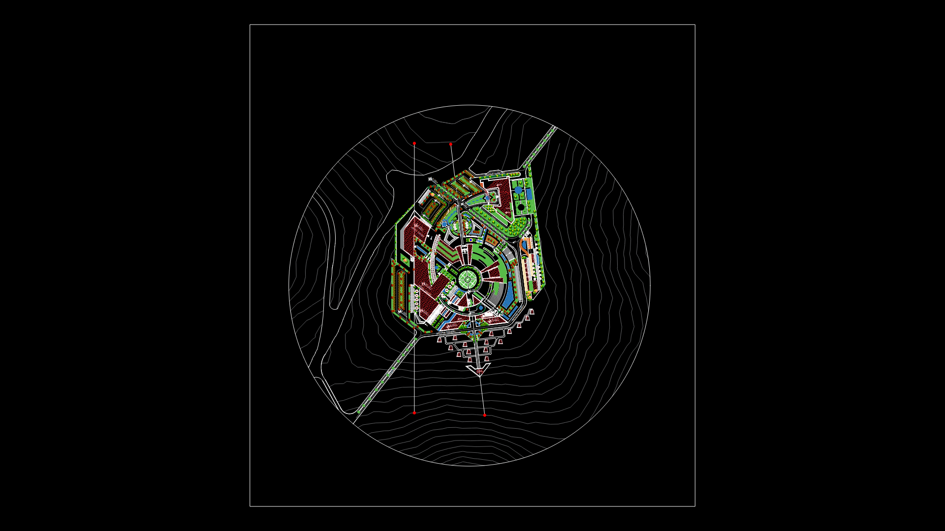
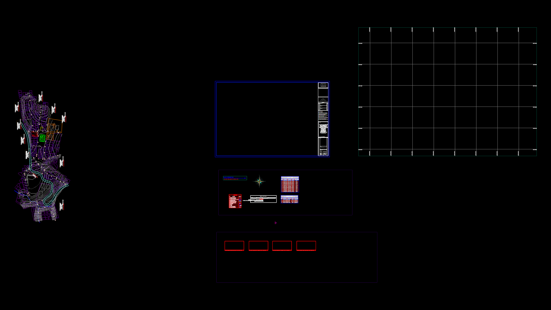
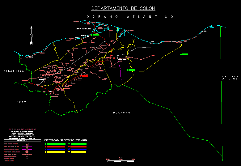
Route Veredas Cira DWG Block for AutoCAD
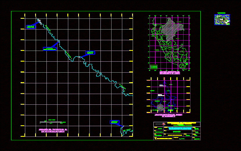
LOCATION PLANNING PEDESTRIAN PATHS TO PROCESS CIRA (CERTIFICATE OF NON-ARCHAEOLOGICAL REMAINS).
Drawing labels, details, and other text information extracted from the CAD file (Translated from Spanish):
home, evangelic church, home, freedom, home, school, initial, siege, kitchen, home, communal place, home, health post, home, siege, home, airport, soccer field, home, siege, home, siege, initial, home, communal place, primary, high school, sports couch, school, health post, new life location, new town barranquita, town freedom, loneliness town, paranapura river, qbda. yanayacu, meters, airport, football field, active log, p.m., kph, true, active log, p.m., kph, true, paranapura river, school, sports couch, i.e., school, calicata veredas, health post, location freedom liberty, new town barranquitanueva barranquita, new town vidanueva life, locality soledadsoledad, intervention plan, loreto, resp .:, distr .:, prov .:, flat:, Location:, region:, draft:, scale:, sheet:, cadista:, date:, indicated, code:, reviewed by:, ing. jose antonio ruiz sanchez, high amazon, August, jars, new freedom, district of balsapuerto, of footpaths in localities, ing. j.f.s.s., district of balsapuerto alta amazonas, ministry of development, office tarapoto, social inclusion, development ministry social inclusion, foncodes, balsaport, investment project, existing housing, legend, pi on the sidewalk, planned paths, summary table, lonely paths, freedom, veredas barranquita, new life paths, esc., paranapura river, north, u.t.m coordinates, distance, angle, new barranquita, side, coordinate, reference, wsg, length, total, construction box, north, u.t.m coordinates, distance, angle, freedom, side, coordinate, reference, wsg, length, total, construction box, north, u.t.m coordinates, distance, angle, new life, side, coordinate, reference, wsg, length, total, construction box, north, u.t.m coordinates, distance, angle, loneliness, side, coordinate, reference, wsg, length, total, construction box, total sidewalks, ml., of the project in, esc., river bank, football field, path, paths, primary school, football field, i.e. initial, airport, health post, home, upper margin of the paranapura river right bank, home, evangelic church, home, freedom, home, school, initial, siege, kitchen, home, communal place, home, health post, home, siege, home, airport, soccer field, home, siege, home, siege, initial, home, communal place, primary, sports couch, initial, school, health post, health post, cajamarca, San Martin, Amazon, loreto, lambayeque, piura, you lie, freedom, ancash, huanuco, ucayali, pasco, junin, ocean, peaceful, lime, huancavelica, cusco, mother, of God, apurimac, I love you, ica, arequipa, fist, moquegua, tacna, Ecuador, Colombia, Brazil, bolivia, Chile, political map, of the, loreto, pastama, jeberos, lagoons, Santa Cruz, requena, yurimaguas, Amazon, San Martin, cahuapanes, balsaport, canyon datem, tnte. cesar lópez rojas, geographical area of the district, new life location, new town barranquita, town freedom, loneliness town, paranapura river, qbda. yanayacu, of the project in, meters, Location, loreto, resp .:, distr .:, prov .:, flat:, Location:, region:, draft:, scale:, sheet:, cadista:, date:, indicate
Raw text data extracted from CAD file:
| Language | Spanish |
| Drawing Type | Block |
| Category | City Plans |
| Additional Screenshots |
 |
| File Type | dwg |
| Materials | Other |
| Measurement Units | |
| Footprint Area | |
| Building Features | |
| Tags | archaeological, autocad, beabsicht, block, borough level, certificate, DWG, location, paths, pedestrian, planning, political map, politische landkarte, process, proposed urban, road design, route, stadtplanung, straßenplanung, urban design, urban plan, zoning |
