Rural Property Entitlement Formalization Project – – Siguas Valley, Arequipa Peru DWG Full Project for AutoCAD

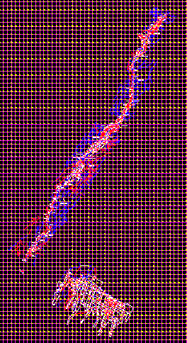
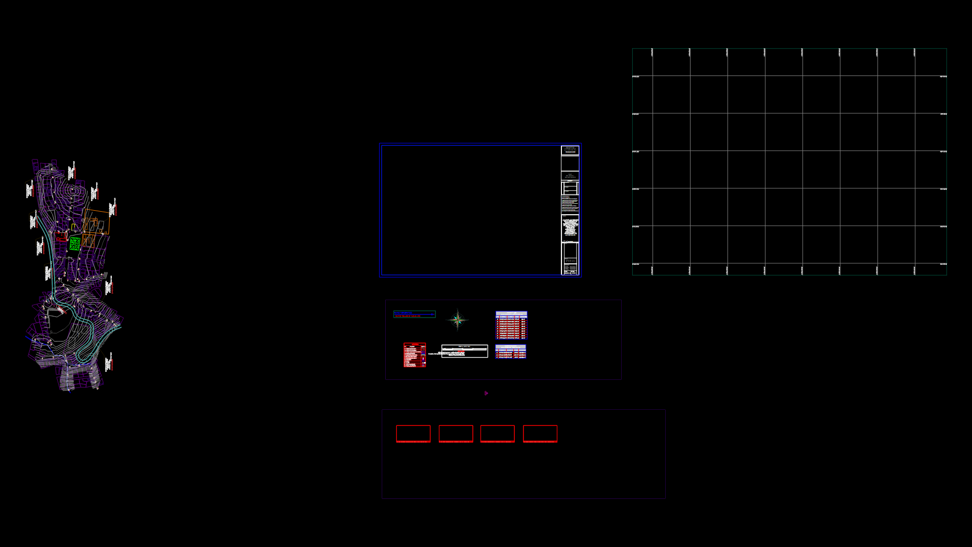
Cadastral base of Siguas Valley. Mapped with coordinates UTM – – Universal Transversal Mercator. Results of Peru’s combined Special Project of Entitling Rural Lands and Property Records and the Agency for Formalization of Informal Ownership – – COFOPRI – PETT. PETT COFOPRI.
Drawing labels, details, and other text information extracted from the CAD file (Translated from Spanish):
channel, Basil, saint, channel, lluclla, highway, White, Hill, channel, majors, irrigation, autodema, bocatoma, rancheria, channel, rancheria, taking, follow, River, low, lluclla, channel, low back, taking, channel, pampas, kilogram, channel, majors, irrigation, for, channel, thanksgiving, taking, channel, follow, channel, caracharma, ravine, taking, owls, follow, hydroelectric power station, channel, irrigation ditch, channel, san basilio ochurunga, take sondor, follow, River, channel, taking, channel, rita, santa, channel, Ocoða, channel, acequia ocoða, taking, Santa Rita, taking, channel, taking, Colombia, irrigation ditch, follow, River, sondor, channel, ucurunga, channel, pond, River, follow, channel, Ocoða, channel, driftwood, channel, take in the boat, whose, channel, follow, River, channel, rita, santa, channel, current, rita, santa, channel, take care, take care of yourself, beautiful view, channel, follow me, vivichis, channel, take ponds, take saint bernard, rita, santa, high, channel, tambillo, high, channel, tambillo, high, channel, pascana, channel, driftwood, channel, Juan, saint, channel, San Juan, taking, chimba, channel, take the chimba, follow me, the rita, taking, thorn, channel, Ana, santa, channel, Saint Ana, taking, the island, take wine, follow me, pachaqui, channel, disuse, take in, take pots, candia, channel, take the candia, Juan, saint, channel, big, ramada, channel, abandoned channel, channel, pond, channel, pond, channel, pond, channel, pond, channel, pond, channel, pond, channel, pond, channel, pond, channel, pond, channel, pond, channel, main channel, principal, pond, channel, pond, channel, pond, channel, pond, channel, pond, channel, Santa Rita, mother channel, River, channel the ravine, take back high, canal lluclla alto, of the slope, take to the foot, at the foot of the slope, take betan court, betan court, channel, pitay bocatoma, canal bentacourt, channel the ravine, River, take canal oquines, channel, canal for irrigation majes, duct sondor girl, canal lomillos, canal cujan, channel cujanillo, channel, canal la rita, mother, eriazo, pitay annex, Santa Isabel de Seguas, district, betancourt, eroded, public road, the retazos, alley, angry, alley of, eroded, sector lluclla, eroded, the hillside, eroded, Santa Isabel de Seguas, district, public road, internal road, path, thanksgiving, public road, rancheria, public road, alley, town caracharma, mountain, the ravine, mountain, pitay annex, Santa Isabel de Seguas, district, sector socor caðaveral, eroded, from the river, bed, sector oquines, eroded, mountain, eroded, sondor annex, sondor sector, public road, Santa Isabel de Seguas, district, pitay annex, sector qulcapampa, Santa Isabel de Seguas, district, mountain, tin tin sector, tunnel, eroded, white hill, sector, san basilio sector, of the pacaes, alley, white hill, tambillo, eroded, sondor, highway, Colombian sector, mountain, public road, eroded, san basilio sector, Santa Isabel de Seguas, district, razed, public road, Saint Elizabeth, access, Santa Isabel Sector, sector ocoða, public, path, public alley, mountain, highway, sector ucurunga, public alley, Saint Elizabeth, taking, n., mountain, Santa Isabel de Seguas, district, mountain, tambillo, path, public alley, sondor, San Juan de Seguas, district, reasoned, mountain, Isabel, santa, highway, eriazo, white, pampas, tambillo, highway, public road, eroded, road sanch
Raw text data extracted from CAD file:
| Language | Spanish |
| Drawing Type | Full Project |
| Category | City Plans |
| Additional Screenshots | Missing Attachment |
| File Type | dwg |
| Materials | Wood, Other |
| Measurement Units | |
| Footprint Area | |
| Building Features | Car Parking Lot |
| Tags | arequipa, autocad, base, beabsicht, borough level, cadastral, coordinates, DWG, full, map, PERU, political map, politische landkarte, Project, property, proposed urban, road design, rural, stadtplanung, straßenplanung, transversal, universal, urban design, urban plan, utm, valley, zoning |


