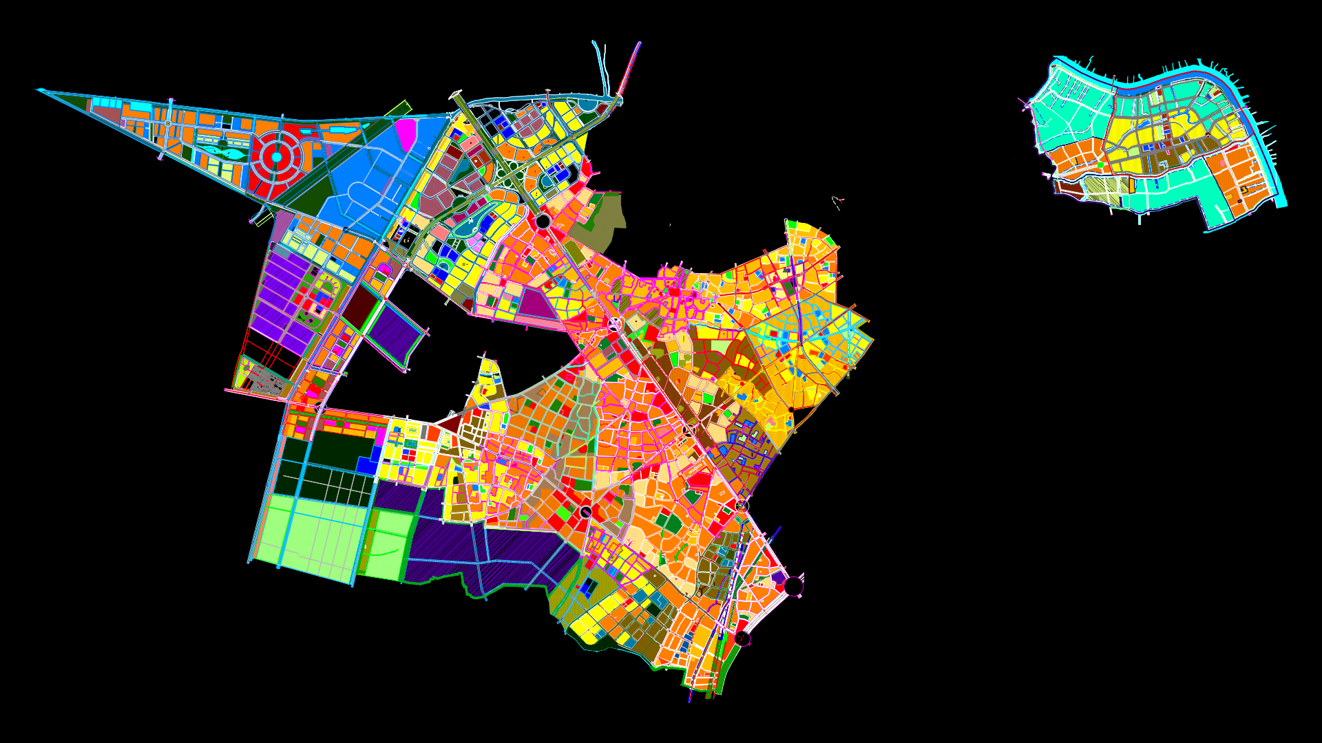
Santa Catalina – Bolivar DWG Block for AutoCAD

Drawings of the areas of the Municipality of Santa Catalina
Drawing labels, details, and other text information extracted from the CAD file (Translated from Spanish):
road of cordiality, Barranquilla, sports field, rural area, urban perimeter, peasant house, cemetery, court, hospital, legend, map of equipment, sports and recreational units, market square, educational centers, police station, church, alex amell meza, arr.nueva venice, arr.nueve february, city hall, municipality of santa catalina, republic of colombia, department of bolivar, alexandria, streams, head, conventions, limit areas, and suburban, urban land, secretary of municipal planning, emilio castelar castelar, consultant, general coordinator, pedro gonzalez ospino, planning secretary, territorial, municipal mayor, eduar gongora llerena, ordering scheme, urban bridges, cabesera, good condition, state of roads, regular state, bad state, national road
Raw text data extracted from CAD file:
| Language | Spanish |
| Drawing Type | Block |
| Category | City Plans |
| Additional Screenshots |
   |
| File Type | dwg |
| Materials | Other |
| Measurement Units | Metric |
| Footprint Area | |
| Building Features | |
| Tags | areas, autocad, beabsicht, block, bolivar, borough level, drawings, DWG, municipality, political map, politische landkarte, proposed urban, road design, santa, stadtplanung, straßenplanung, urban design, urban plan, zoning |


