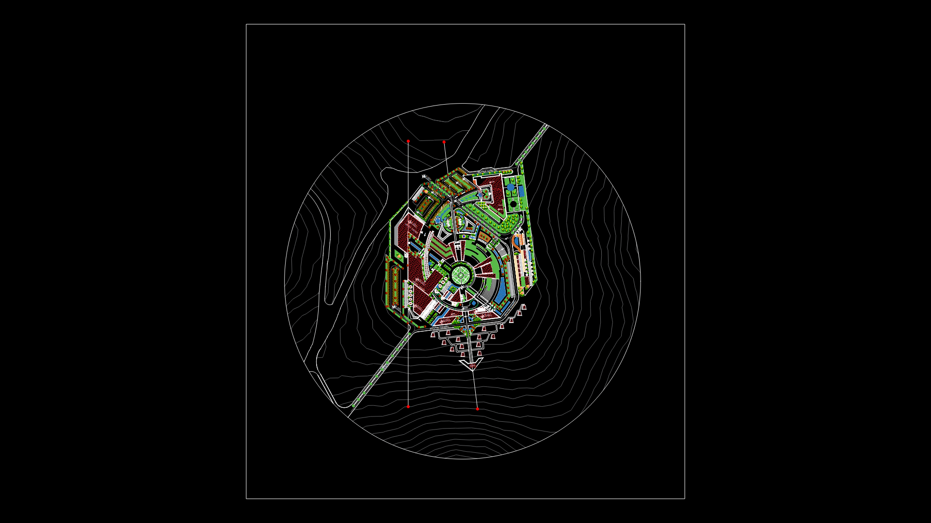
Santa Cruz City DWG Block for AutoCAD
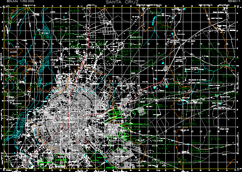
Topographic map of Santa Cruz de la Sierra. Hoja 6940 – I Original fount IGM (Instituto Geografico Militar)Scale 1: 50.000 Coordinates UTM. Datum PSAD – 56
Drawing labels, details, and other text information extracted from the CAD file (Translated from Spanish):
mount san jose, doing the bisito, rivulet, soccer field, arroyito, new town, cupcake, soccer field, villa el terrado, villa paquio, neighborhood sucre, urb. bolivar, May villa, glen, canada three lagoons, ciudadela andres ibanez, mendiel, pampa de la cruz, san antonio, Venezuela, guapillo, the pampitas, The Golden, pampas, of the island, the store, new ranch, the chacos, ramaral, urb. coordinecruz, clear cuta, Saint Cecilia, light villa, virgin of cotoca, north villa, Oriental, bolivar, anita zuarez de leigue, north, villa san jorge, the sorrow, the little valley, villa carmela, bolivia, Santa Cruz, Canadian colony, cologne three palms, stay itapaqui, spinal, to open, itapaquio, cemetery, soccer field, cemetery, community, clear stay, mapaiso community of the purisimas, ecia mapaiso of the piedades, soccer field, stay the earth, stay the lathe, santa rosa de provote community, community alley guapilo, cemetery, hacienda tarope, pipeline, soccer field, mount down, ecia clara san pedro, tel., high island, carmen clear the carmen, urb. the cusis, mount down, weaving, noria, urb. iripity, hacienda guapilo, mount down, cemetery, huaracachi station, weaving, pipeline, irrigation ditch, i.g.m, and.p.f., plant, Huaracachi city, industrial area, cloacal bed, island of the chacos, clear progress, cemetery, doing the grasses, Progress, beautiful flower, ambush, mount down, km., el arenal park, Cathedral, panagra, airport trompillo, sugar mill san aurelio, hundred, villa fatima, guacaral, the red, eleven percent, red rock, new lands of san ramon, the knife, villa copacabana, villa antofagasta, new lands, villa olimpica santa cruz, California, the bajio, km., south, cemetery, pipeline, the bajio, canon, pipeline, the forest, of May, Mother, centenary villa, the chakra, Syracuse, villa brigida, nizoto, country club, hip hop club, November villa, high, cloacal bed, quinones, crest, the plains, stay the beating, was the mother, ford, pipeline, mount down, Search by photos:, stay sama, low vulture stay, stay the low, stay loneliness, cemetery, he was a tall buzzard, pipeline, the eye, santa cruz de la sierra, palmar of the vultures km., paurito km., palmar of the oratorio km., villa pedro diaz km., the guard km., Ayacucho km., good retirement retreat km., stay cedrito km., stay utubos km., stay junquillo km., stay tarumatu km., warnes km., station viru viru km., stay clear sauce km., hacienda churia km., stay cotoca km., km., cotton hacienda barcelona km., growing area, pastureland, reedbed, mount tall, growing area, mount tall, growing area, mount tall, pastureland, growing area, pipeline, aqueduct
Raw text data extracted from CAD file:
| Language | Spanish |
| Drawing Type | Block |
| Category | City Plans |
| Additional Screenshots |
 |
| File Type | dwg |
| Materials | Other |
| Measurement Units | |
| Footprint Area | |
| Building Features | Car Parking Lot, Garden / Park |
| Tags | autocad, beabsicht, block, borough level, city, cruz, de, DWG, gas, la, map, original, political map, politische landkarte, proposed urban, road design, santa, sierra, stadtplanung, straßenplanung, topographic, urban design, urban plan, zoning |
