Santa Lucia – Lampa DWG Block for AutoCAD

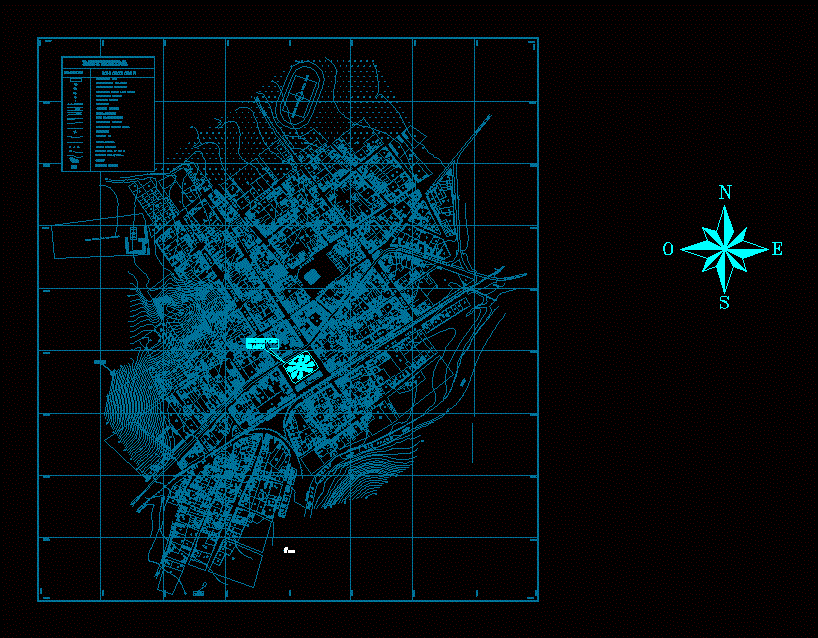
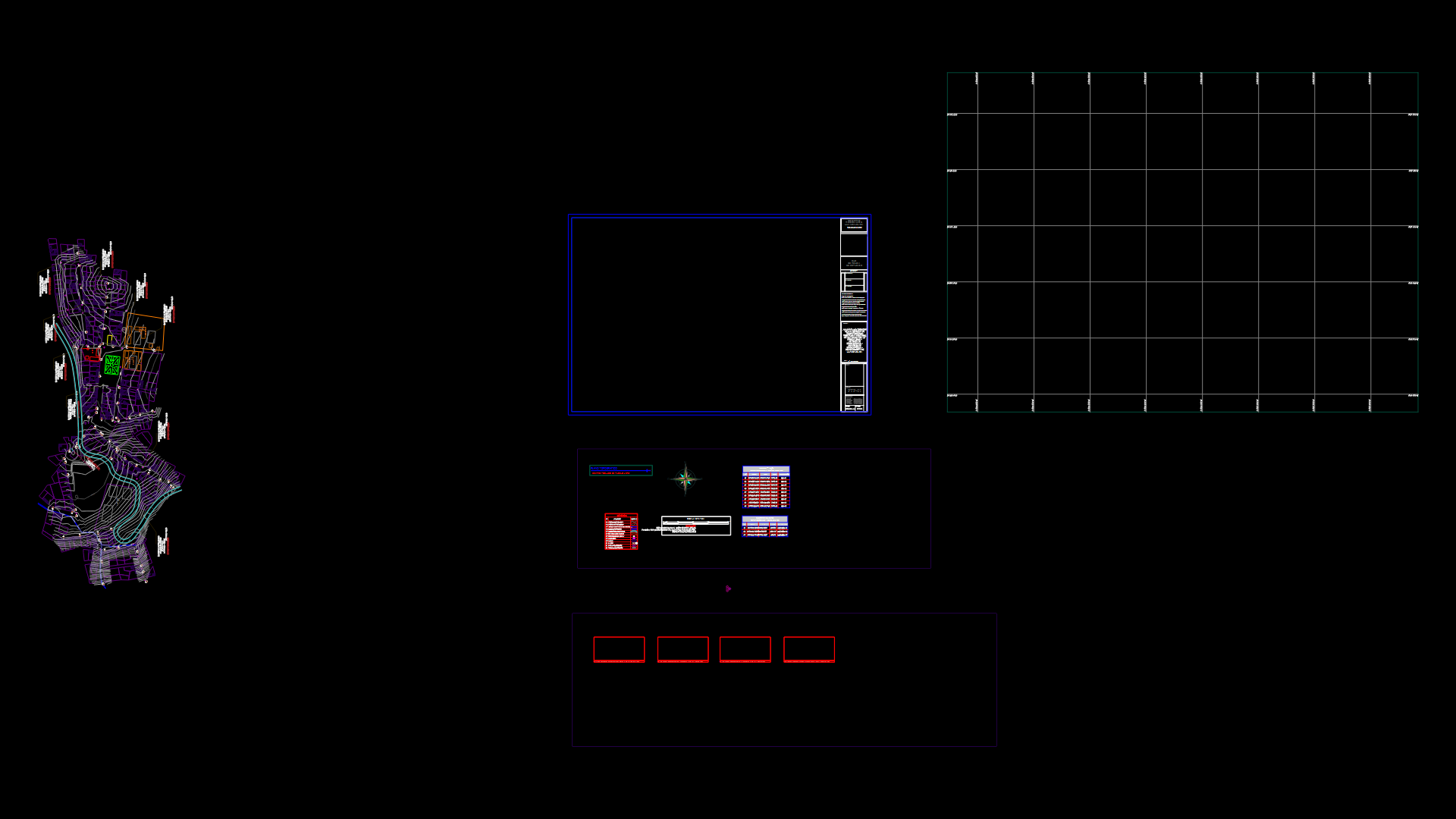
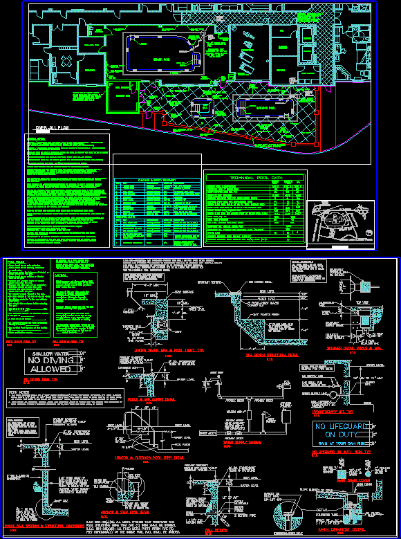
The plane shown is the district of Santa Lucia; located in the province of Lampa; Puno region; in Peru;
Drawing labels, details, and other text information extracted from the CAD file (Translated from Spanish):
arequipa road, drinking water reservoir, national school jose carlos mariategui, independence, south railway, of supplies, miner, municipal of santa lucia, juliaca road, arequipa road, carousel, santa lucia lagunillas station, riverside defense, arequipa, juliaca, rainwater drainage channel, passage you lie, legend, symbols, lot perimeter, construction of a plant, two-story building, apple numbering, batch numbering, railway, asphalt road, carousel, stormwater channel, perimeter of apples, perimeter of urban expansion, sewer, river edge, riverside defense, wild plants, contour lines, gardens, sports platform, construction of three more plants, railway passage, jordan street, parade ground, recreational park, location plaza de armas
Raw text data extracted from CAD file:
| Language | Spanish |
| Drawing Type | Block |
| Category | City Plans |
| Additional Screenshots |
 |
| File Type | dwg |
| Materials | |
| Measurement Units | |
| Footprint Area | |
| Building Features | Car Parking Lot, Garden / Park |
| Tags | autocad, beabsicht, block, borough level, district, DWG, located, plane, political map, politische landkarte, proposed urban, province, puno, road design, santa, shown, stadtplanung, straßenplanung, urban design, urban plan, zoning |


