Site Location Plan with Topographic Contours for Residential Lot
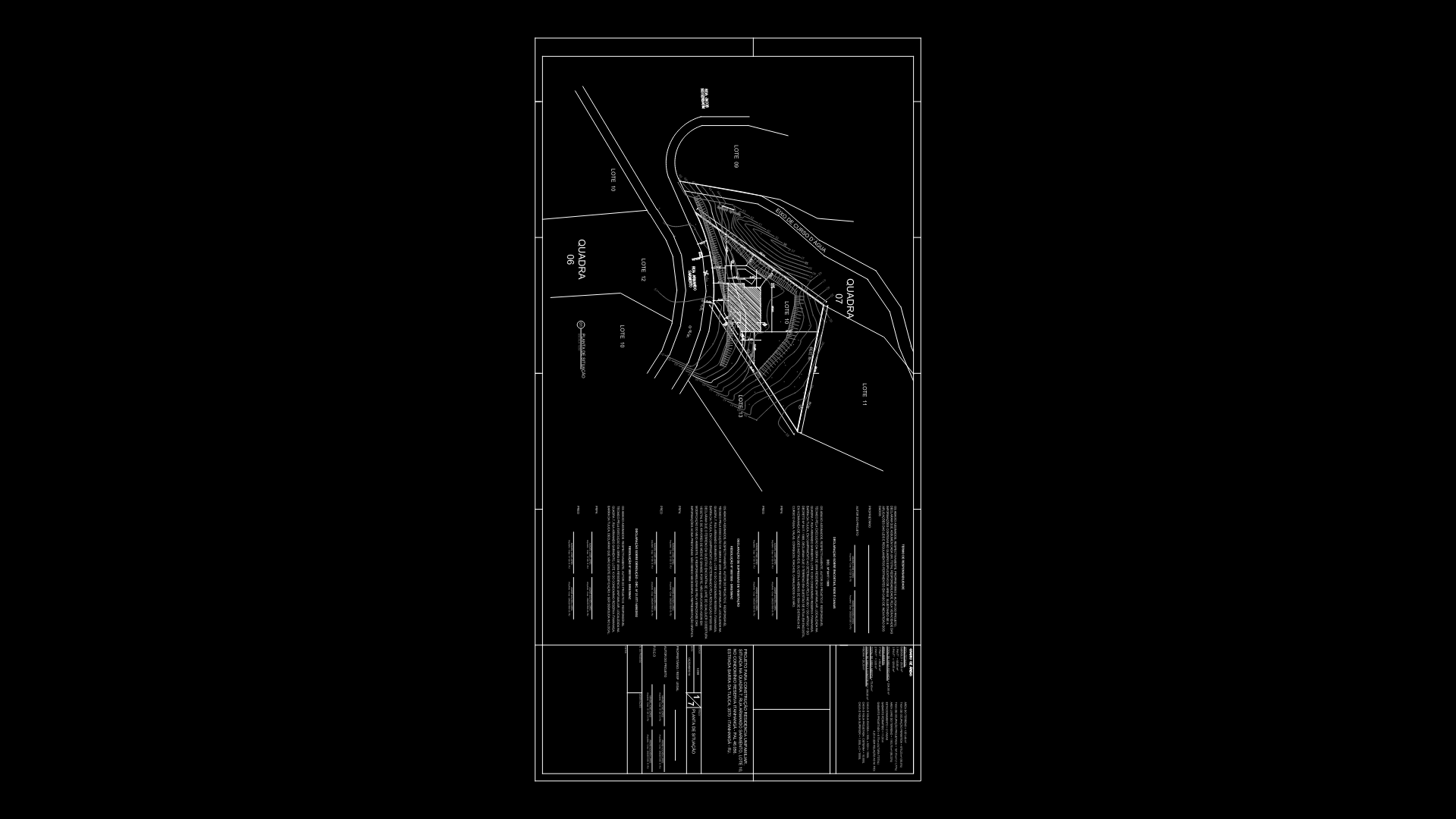
Detailed situational drawing showing a residential lot positioned at the intersection of two roads (identified as ‘QUADRA 06’). The plan features comprehensive topographic elevation lines with marked contour intervals, demonstrating significant grade changes across the property. The triangular-shaped lot shows access points and setbacks from surrounding streets, with boundaries clearly defined through polylines. A rectangular structure is positioned within the property boundary, likely representing the proposed building footprint. The document includes hatched areas indicating different zones or surface treatments. Topographical information suggests the site has sloping terrain that required careful consideration during the design phase to address drainage and foundation requirements.
| Language | Portuguese |
| Drawing Type | Plan |
| Category | Residential |
| Additional Screenshots | |
| File Type | dwg |
| Materials | |
| Measurement Units | Metric |
| Footprint Area | 50 - 149 m² (538.2 - 1603.8 ft²) |
| Building Features | |
| Tags | contour lines, lot layout, property boundaries, residential plot, site plan, situação, topography |
Related Products

Same Contributor


Featured Products


