Soil Plane Ilo Peru DWG Block for AutoCAD

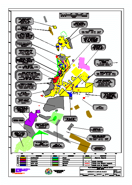
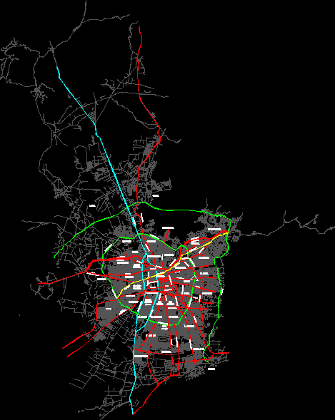
Soil plane Ilo – Peru
Drawing labels, details, and other text information extracted from the CAD file (Translated from Spanish):
area of study area, master plan of the city of ilo, flat, sheet, region, province, district, scale, date, moquegua, yl, graph, nov., ministry of transport communications, National Institute, home construction, developmental, urban, from ilo, provincial, municipality, meters, town garden little with basic services equipment, new homogeneous with problems of normativity, old urban of various uses incompatible: night generate spatial friction disorder. deterioration of monumental value., Maritimo expansion areas accessibility problems generates frictions with old town, military possible urban expansion area., conglomerate of factories, petro is pending change of use due to incompatible risk activity, military, vallejo little consolidated in risk zone due to natural disasters, homogeneous with uses not compatible with lot dimensions: workshops., wireless homogeneous in consolidation with deficit of services road infrastructure, pasture large conflict with future areas of urban expansion, informal chancery in potential expansion areas., Terrestrial terminal is not in operation., unoccupied industrial zone., industrial park not consolidated invasions on area reserved for industry., installed subutilised il., area of storage services., well of recreational smooth with tourist potential., underutilized, growing tourist recreation, of aggregates littoral soil, pacocha business activities wholesalers informal trade, south: large infrastructures occupied has. free area has., busy you have. free area has., central occupied has. without free areas, wireless has occupied. free area has., ilo lack consolidate equip. serv., of natural cabbages requires protection, military pisagua, meters, legend, symbol, description, residential, commercial, industrial, district boundary, education, Health, recreation, livestock, urban area boundary occupied, other uses, agricultural, natural reserve, study area limit, description, miner, current land uses, master plan of the city of ilo, flat, sheet, region, province, district, scale, date, moquegua, yl, graph, dec., ministry of transport communications, National Institute, home construction, developmental, urban, from ilo, provincial, municipality
Raw text data extracted from CAD file:
| Language | Spanish |
| Drawing Type | Block |
| Category | City Plans |
| Additional Screenshots |
 |
| File Type | dwg |
| Materials | Other |
| Measurement Units | |
| Footprint Area | |
| Building Features | Car Parking Lot, Garden / Park |
| Tags | autocad, beabsicht, block, borough level, DWG, ilo, PERU, plane, political map, politische landkarte, proposed urban, road design, soil, stadtplanung, straßenplanung, urban design, urban plan, zoning |


