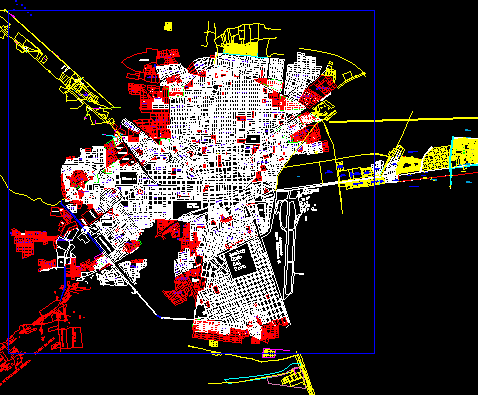
State Baj California Sur – Mexico DWG Block for AutoCAD

Representation of locations and lines of communication in Baja California Sur – Mexico
Drawing labels, details, and other text information extracted from the CAD file (Translated from Spanish):
Pacific Ocean, Gulf of California, san bruno, willing, small tip, san juanico, p. lopez mateos, Magdalena island, the laguana, San Rafael, tip opener, bahia assumption, bahia whales, bahia turtles, hare’s eye, state limit, san bartolo, Santiago, Saint lucas, All Saints, mark, fishmonger, san pedro, the triumph, san jose del cabo, the barrels, the brook, miraflores, san antonio, holy spirit island, CD. Constitution, Margarita Island, sto. Sunday, Saint Charles, insurgents, the forest, the centenary, piling, peace, monserrate island, sta. Isabel, loreto, how are you?, san marcos island, mulege, turtle Island, island cerralvo, the plans, sta. rosalia, San Ignacio, low california north, Guaymas, sound state
Raw text data extracted from CAD file:
| Language | Spanish |
| Drawing Type | Block |
| Category | City Plans |
| Additional Screenshots |
 |
| File Type | dwg |
| Materials | |
| Measurement Units | |
| Footprint Area | |
| Building Features | Car Parking Lot |
| Tags | autocad, baja, beabsicht, block, borough level, california, communication, DWG, lines, locations, mexico, political map, politische landkarte, proposed urban, representation, road design, stadtplanung, state, straßenplanung, urban design, urban plan, zoning |


