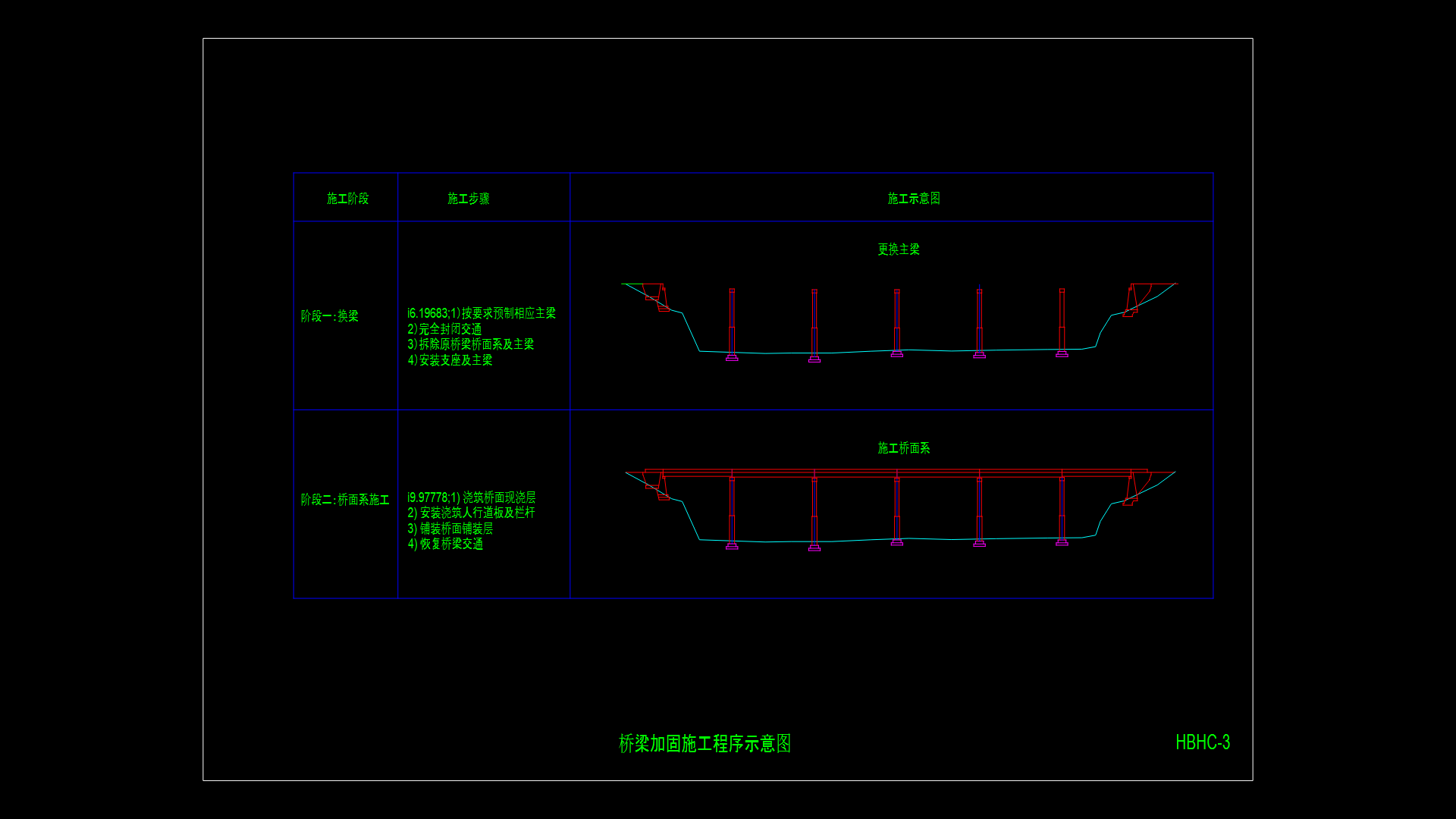
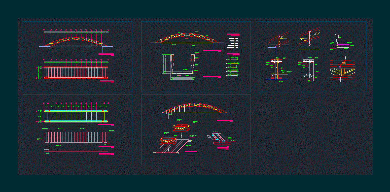
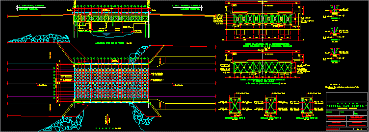
Topographic Map Bridge Necaxa DWG Block for AutoCAD
ADVERTISEMENT
ADVERTISEMENT
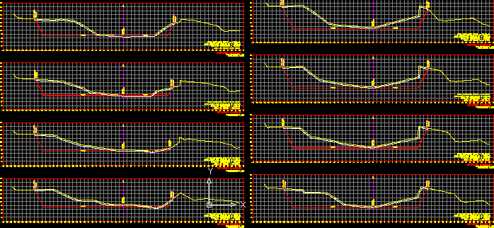
Topography of the location of the bridge Necaxa, located in the town of Juan Galindo, Puebla
Drawing labels, details, and other text information extracted from the CAD file (Translated from Spanish):
stone wall, bno, abutment wall, pemex pipe, center road, road mexico – tuxpan, wire fence, masonry wall, ordinates of the, curve mass, embankment, cut, subgrade, terrain, volume, thickness , elevation
Raw text data extracted from CAD file:
| Language | Spanish |
| Drawing Type | Block |
| Category | Roads, Bridges and Dams |
| Additional Screenshots |
 |
| File Type | dwg |
| Materials | Masonry, Other |
| Measurement Units | Metric |
| Footprint Area | |
| Building Features | |
| Tags | autocad, block, bridge, DWG, juan, located, location, map, puebla, topographic, topography, town |


