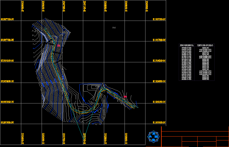
Topographic Map Carretera DWG Block for AutoCAD
ADVERTISEMENT

ADVERTISEMENT
This plane has ground; cuts and fills; It was created using the various methods of descriptive geometry.
Drawing labels, details, and other text information extracted from the CAD file:
checked by, designed by, itemref, quantity, filename, approved by – date, date, edition, sheet, scale, revno, revision note, checked, signature, xxx, carretera.dwg, general notes, no., firm name and address, project name and address, project, value, as noted, terraplen, desmonte, rasante, desmonte, carretera, terraplén, carretera internacional, norte topográfico
Raw text data extracted from CAD file:
| Language | English |
| Drawing Type | Block |
| Category | Roads, Bridges and Dams |
| Additional Screenshots | |
| File Type | dwg |
| Materials | Other |
| Measurement Units | Metric |
| Footprint Area | |
| Building Features | |
| Tags | autocad, block, created, cuts, descriptive, DWG, geometry, ground, HIGHWAY, map, pavement, plane, Road, route, topographic |


