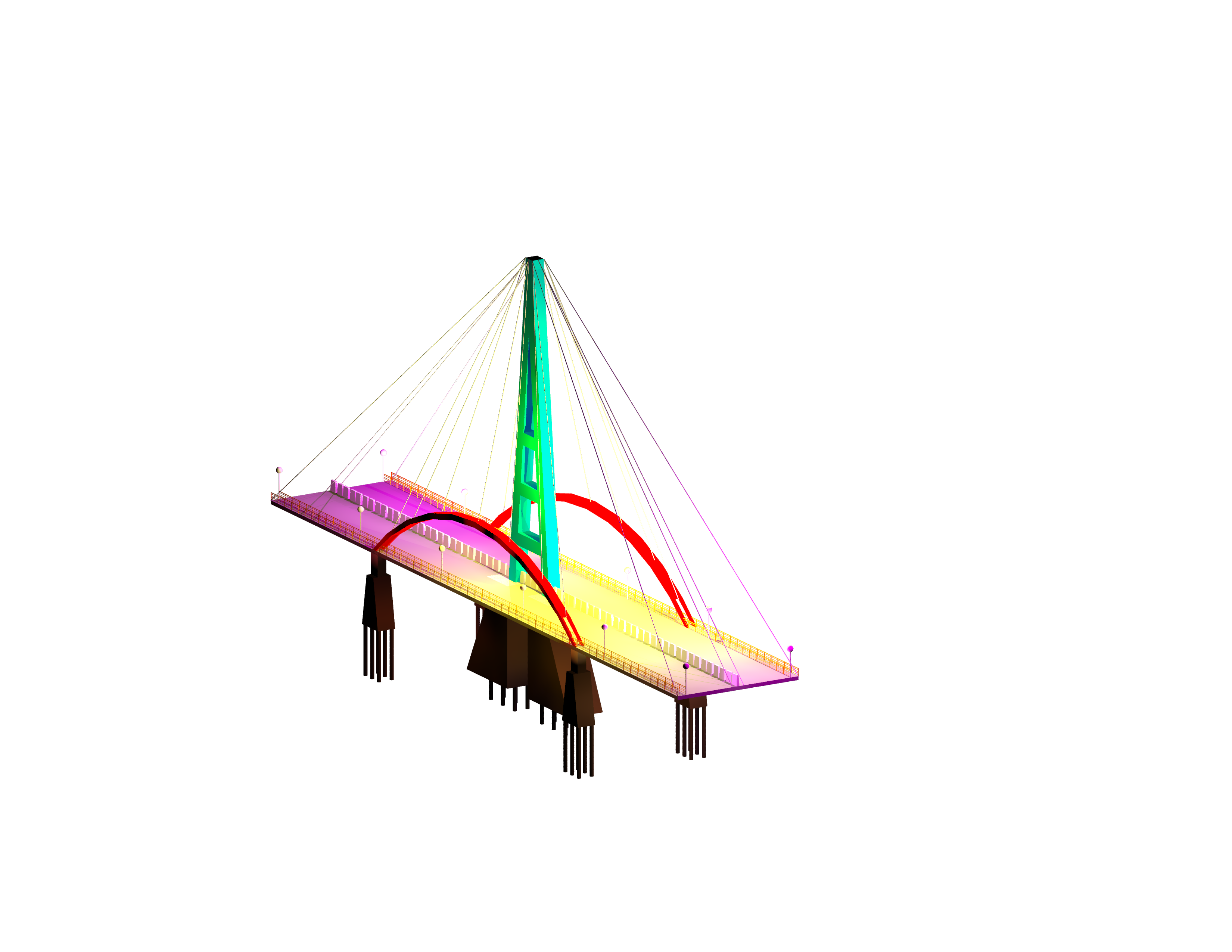
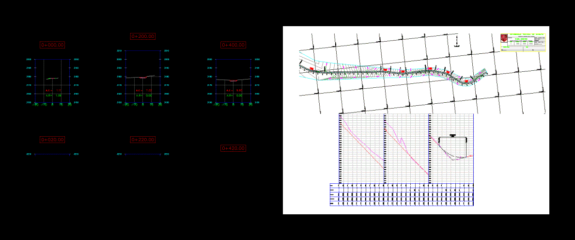
Typical Details – Civil Works Standards Presented DWG Detail for AutoCAD

Typical Details civil works; trenching and soil movement .
Drawing labels, details, and other text information extracted from the CAD file (Translated from Spanish):
layers lines and thicknesses-general-multidiscipline, x-stit, defpoints, x-kpln, x-sym, x-revs, x-text, x-mtln, x-case, x-dim, x-hach, x-grid , x-auh, x-aul, x-auc, revision clouds, texts, general notes, symbols and labels, key map, sub titles, non-printable layer, splice lines, frames, format, memebrete, segmented auxiliary, line auxiliary, lines of axis, dimensions, achurado, lattice, grid of coordinates, x-case-grid, grid in area of drawing, memebrete thin line, memebrete thick line, memebrete middle line, x-case-text, letterhead – text, x-case-tit, letterhead – titles, auxiliary line media, x-tit, titles, layer name, description, c-alig-stbl, c-alig-stpt, major level curve, minor level curve, c-topo -srfv, c-topo-sbdr, surface edge, existing buildings: houses, slabs, etc., buildings exist: mailboxes, pipes, posts, etc., c-topo-fenc, fences, c-topo-roas, asphalted road, c-topo-roaf, affirmed path, c-topo-rowa, unstated path, c-topo-trai , trail, c-topo-lake, lakes, c-topo-ravi, gorge, c-topo-riv, fine line, mid-line, thick line, g-topo-lh, hidden line, c-road-km, brand kilometric, c-road-rowr, right line parallel to the alignment, c-road-rowl, left line parallel to the alignment, image jpg, tif, etc, topographic, road, c-prof-eg, existing terrain – profile, c- prof-egt, existing terrain text – profile, c-prof-fg, finished terrain – profile, c-prof-fgt, terrain text finished – profile, c-prof-grid, profile grid, c-prof-grit, text profile grid, c-prof-base, baseline profile, c-prof-vgri, vertical profile line, c-sect-eg, c-sect-egt, c-sect-fg, c-sect-fgt, c-sect-grid, c-sect-tare, grading, c-grad-fgp, finished soil – plant, c-grad-scut, cut slope, c-grad-sfil, fill slope, c-grad-dayl , intersection of slope with surface of land, c-grad-stri, surface of clearing, c-grad-shad, shading of area of explanacion, c-grad-berm, berma of security, concrete – middle line , concrete – thick line, c-grad-conh, concrete – hidden lines, c-grad-creb, concrete – reinforcement, c-grad-ctck, cut-off grid volume, c-grad-clbl, cut label mark grid volume, profile, sections, c-grad-ftck, fill mark grid volume, c-grad-flbl, fill label mark grid volume, c-hath, achurado, layers, line and thicknesses – civil, name, pbase , pggrid, pegct, pfgct, pegc, pegl, pegr, pfgc, pgrid, pgridt, right, peglt, pegrt, pdgl, pdgr, xfg, xeg, xfgt, xegt, xgrid, xgridt, rev., date:, flat number, scale, arch. cad :, xx-xx-xxx, drawing, date approved, client, project manager, chief discipline, information contained, in, are owned by, are prohibited, confidential, this plan and the, its use and reproduction, without prior authorization, reference, ds., clt, references, description, date, revisions, design, dib., cod. proy customer no., cod. proy gmi no., notes, owner :, plane:, mining santa cruz s.a. project san jose, gmi s.a. consultant engineers, santa cruz, mining, xxx-x-xxx, section, el., det., detail, plant, dam, left, secc-mautino, section-a-ult, section-b-ult, section-c- ult, section-e-ult, section-d-ult, section-a-aql, section-b-aql, section-c-aql, section-d-aql, section-e-aql, sec-a, sec- b, sec-c, sec-d, sec-e, formed with natural material, finished surface, safety berm, road, cut, fill, berm, safety, scarify and compact at least to, will be subject to specification :, ditch, d ext., bed and filling for pipe, type a, type b, typical section of road, maximum density., excavation of ditch for pipe, form slope according to soil conditions, berm against wind, staggering, var. , remove covering layer or topsoil thickness var. and replace by filling material, note :, same slopes for its conformation., abbreviations, percent, topographical reference point, axis line, det, day, diameter, elevation, esc, ind, indicated, kilogram, kilometer, subway , square meter, cubic meter, max, maximum, min, minimum, linear meter, millimeter, nfc, foundation level, nfca, channel bottom level, nfcu, ditch bottom level, no., number, ntc, top level concrete, ntp, platform top level, nst, surface level finished or ground, ref, referential, rev, revision, slope, without scale, sic, unless otherwise indicated, sim, similar, tip, typical, var, variable, point of work, pvi sta, station of vertical intersection point, pvi elev, vertical intersection point level, ad, algebraic difference of slopes, vertical curve length, bvcs, initial vertical curve station, bvce, initial level of vertical curve , evcs, final vertical curve station, evce, final level of vertical curve cal, curve coefficient, curve start point, tangency point, external distance, radius length of the curve, subtangent length, curve length, deflection angle, cant, widening, symbols,
Raw text data extracted from CAD file:
| Language | Spanish |
| Drawing Type | Detail |
| Category | Roads, Bridges and Dams |
| Additional Screenshots | |
| File Type | dwg |
| Materials | Concrete, Other |
| Measurement Units | Metric |
| Footprint Area | |
| Building Features | |
| Tags | autocad, civil, DETAIL, details, DWG, movement, presented, retaining wall, soil, standards, typical, works |


