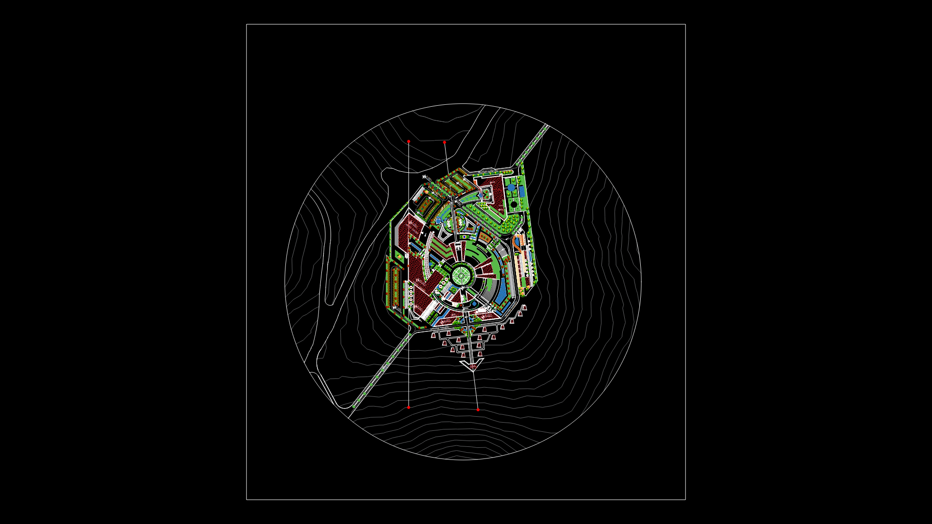
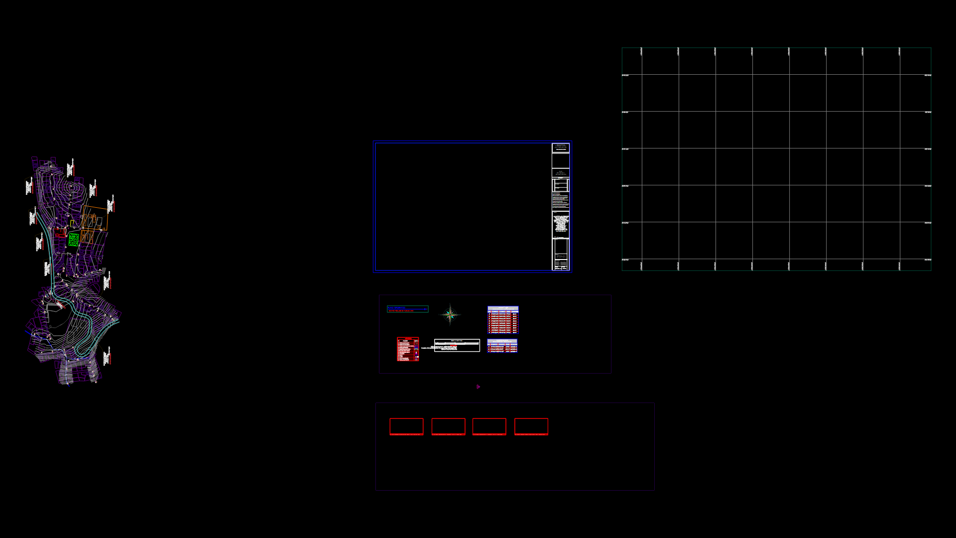
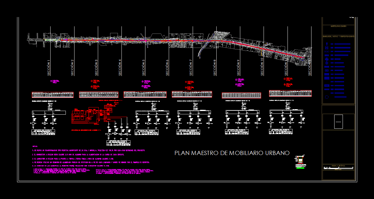
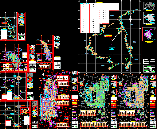
Zoning Plan – Carirubana; Falcon; Venezuela DWG Plan for AutoCAD

General Planimetria – zoning – designations
Drawing labels, details, and other text information extracted from the CAD file (Translated from Spanish):
collector, d.b., ndrd, River, ravine, pipeline, pool, channel, lagoon, grass garden, in construction, freeway, path, railway, tunnel, pica, dirt road, paved road, mangrove swamp, flooded ground, sewer bridge, isolated trees, cemetery, culture, mount low, collector, zoning, meters datum veretical: mean sea level horizontal transversal horizontal marker the numbered lines indicate the utm grid with ellipsoid spindle spacing, source: aerophotogrammetric plane elaborated by aeromapas seravenca with aerial photographs taken in June of mission number: approximate scale digitized by sigmerca September, index of scanned sheets, Bolivarian republic of venezuela mayor of the municipality carirubana office of rural urban planning, zoning plan of the municipality of Carirubana, of leaf:, digitized cad sep, reviewed by:, scale, mayor of, carirubana, River, ravine, pipeline, pool, channel, lagoon, grass garden, in construction, freeway, path, railway, tunnel, pica, dirt road, paved road, mangrove swamp, flooded ground, sewer bridge, isolated trees, cemetery, culture, mount low, collector, zoning, meters datum veretical: mean sea level horizontal transversal horizontal marker the numbered lines indicate the utm grid with ellipsoid spindle spacing, source: aerophotogrammetric plane elaborated by aeromapas seravenca with aerial photographs taken in June of mission number: approximate scale digitized by sigmerca September, index of scanned sheets, Bolivarian republic of venezuela mayor of the municipality carirubana office of rural urban planning, zoning plan of the municipality of Carirubana, of leaf:, digitized cad sep, reviewed by:, scale, mayor of, carirubana, farm empire, qda., guaranao, d.b., collector, collector, boyacá street, guanare street, miranda street, anauco street, toledo street, pica pas, miraca street, street america, liberator street, miracielos street, street pica, calle araguaney, santo domingo street, boyacá street, miranda street, freedom street, federal street, santo domingo street, anauco street, liberator street, los angeles street, california street, liberator street, Street Bolivar, street the browns, el palmar street, street el cuji, california street, miracielos street, street pica, street arguaney, school, neighborhood, Sunday stolen, neighborhood, Sunday stolen, villa miroslaba, jadacaquiva street, santa ines street, san jose street, jadacaquiva street, asphalted road, main road santa elena, the bohios, from Manuel, st. Helen, sector greece, main Street, ireland camacho, german chavez, first day, francisco andino, daicy toyo, nelson cuauro, light perez, roger rodriguez, Jose Velazco, david diaz, Manuel Bridge, carlos puente, agueda bridge, liberator street, quitaire street, neighborhood liberator, cosme d. questioned, prol. street aqueduct, san grabiel street, street roses, prol. street aqueduct, andes street, street the valley, santa fe street, gumercinda de mora, street east breezes, street the valley, andes street, santa fe street
Raw text data extracted from CAD file:
| Language | Spanish |
| Drawing Type | Plan |
| Category | City Plans |
| Additional Screenshots |
 |
| File Type | dwg |
| Materials | |
| Measurement Units | |
| Footprint Area | |
| Building Features | Pool, Car Parking Lot, Garden / Park |
| Tags | autocad, beabsicht, borough level, designations, DWG, general, plan, planimetria, political map, politische landkarte, proposed urban, road design, stadtplanung, straßenplanung, urban design, urban plan, Venezuela, zoning |
