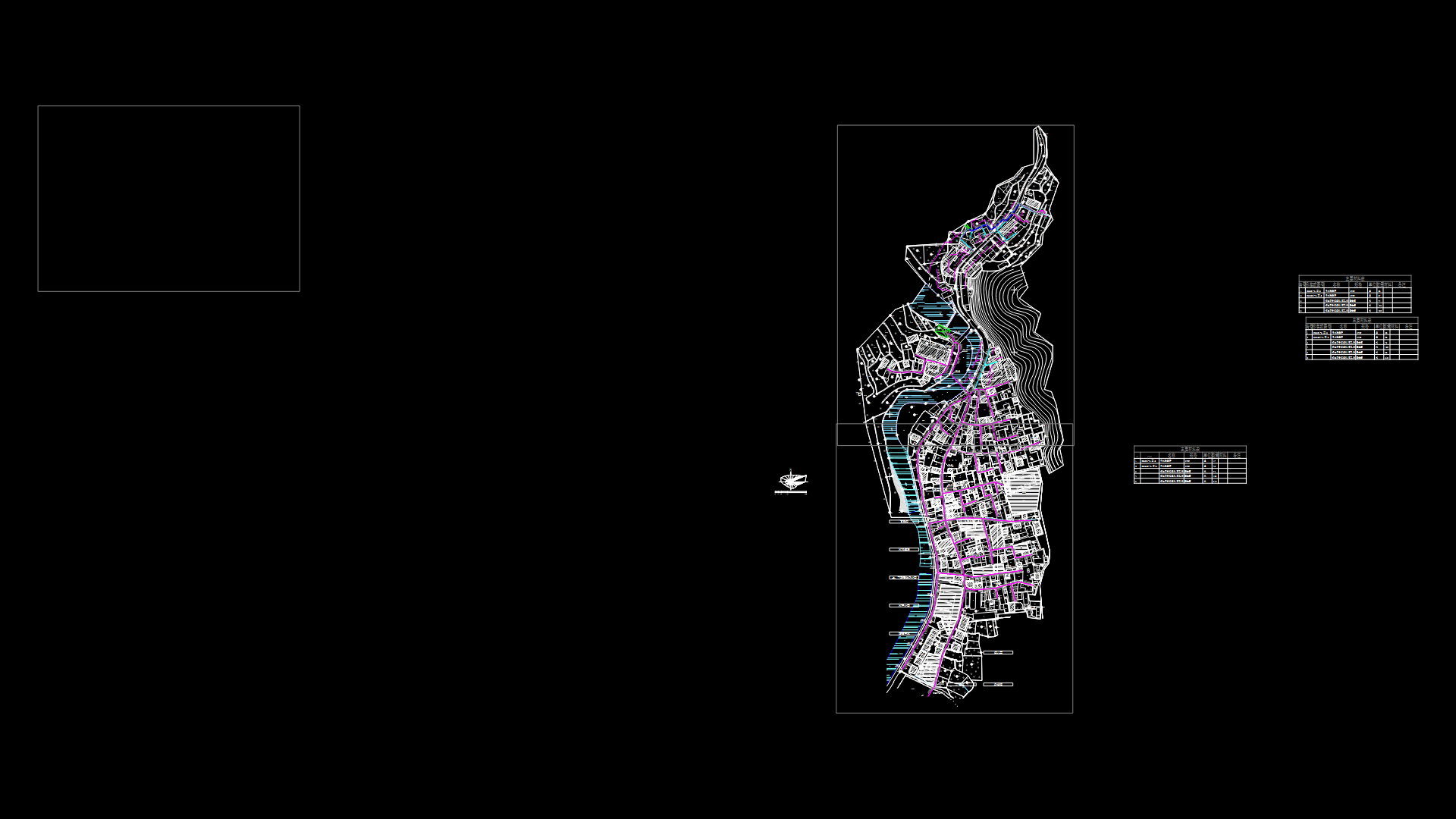
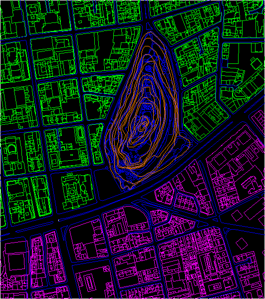
Plane Tacna DWG Block for AutoCAD
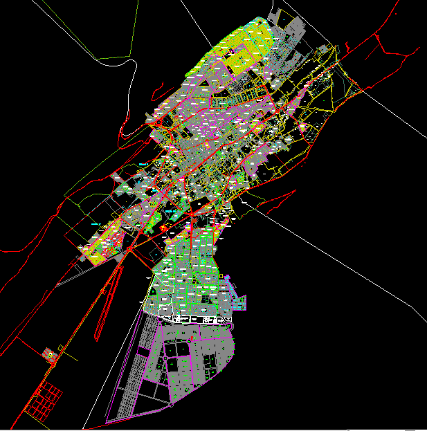
CADASTRAL MAP OF tACNA CITY – Perú 2007
Drawing labels, details, and other text information extracted from the CAD file (Translated from Spanish):
villa el salvador, housing association, word of God, baptist, evangelic church, the meadow, housing association, master plan, reservation for general hospital, school, Luis Alberto Sanches, complementary sectoral equipment, professional:, graphic report, Location:, date:, scale:, cadastre area, viñani, observations:, yon neira arenas, the entry with coordinates of the perimetric plane presented in the file nº corresponds the red line is coincident with the graphs, which appear in sheets of the same file., the blue lines correspond municipal property in base it the pett located cadastral units that conform the association that is, show in green., school, recre., lv, lv, of engineers, From Peru, int., educ.
Raw text data extracted from CAD file:
| Language | Spanish |
| Drawing Type | Block |
| Category | City Plans |
| Additional Screenshots |
 |
| File Type | dwg |
| Materials | |
| Measurement Units | |
| Footprint Area | |
| Building Features | A/C, Deck / Patio, Car Parking Lot, Garden / Park |
| Tags | autocad, beabsicht, block, borough level, cadastral, city, DWG, map, PERU, plane, political map, politische landkarte, proposed urban, road design, stadtplanung, straßenplanung, Tacna, urban design, urban plan, zoning |
