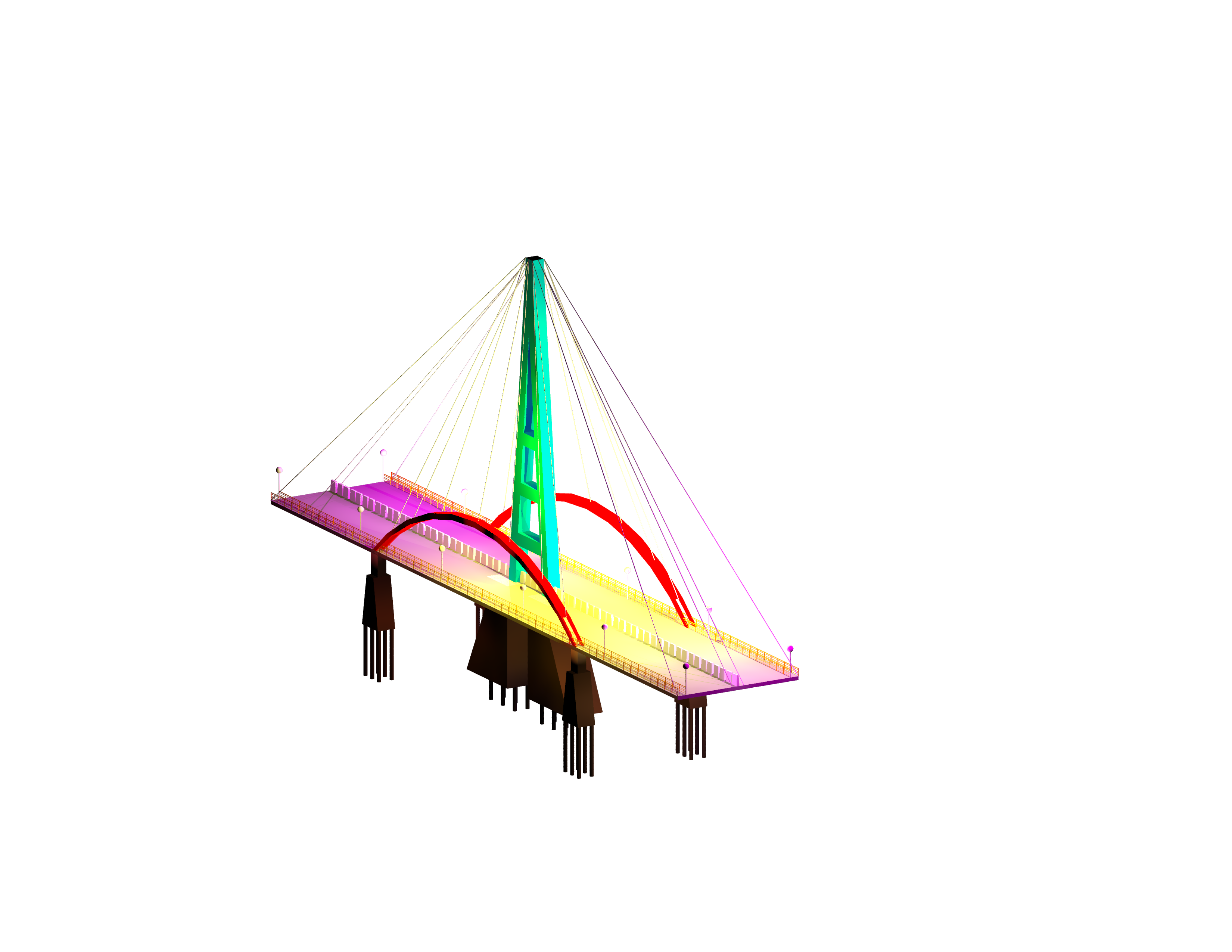
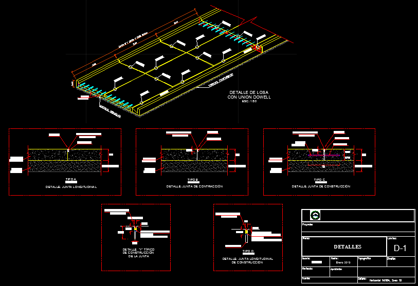
Topography Los Alamos DWG Block for AutoCAD
ADVERTISEMENT

ADVERTISEMENT
Ignacio Carrera topography locality Los Alamos Chile
Drawing labels, details, and other text information extracted from the CAD file (Translated from Spanish):
lcec, aclc, crs, cre, ecac, lcac, pal, muf, acf, avenue ignacio career pinto, centenary, whereabouts, plaza, road to pangue, to the center of, the alamos, a high hill, open channel of rainwater, general plant sector in study, channel, end sidewalk, thickness, no pen, no color, color code, data taken in terrain, detail data collection – hearth, at this point., the existing hearth correspond, graphic scale, concrete, corner fence, symbology, end wall, green area, in existing scale, hilti type nail, in existing hearth, lebu, exit radier cota, radier entry height, scale, wall, machon, meter, fence line, ventilation, terrain, recessed slab, point and altimetric height, span, bridge
Raw text data extracted from CAD file:
| Language | Spanish |
| Drawing Type | Block |
| Category | Roads, Bridges and Dams |
| Additional Screenshots |
 |
| File Type | dwg |
| Materials | Concrete, Other |
| Measurement Units | Metric |
| Footprint Area | |
| Building Features | |
| Tags | autocad, block, chile, DWG, HIGHWAY, Level, locality, los, pavement, Road, route, topography |


