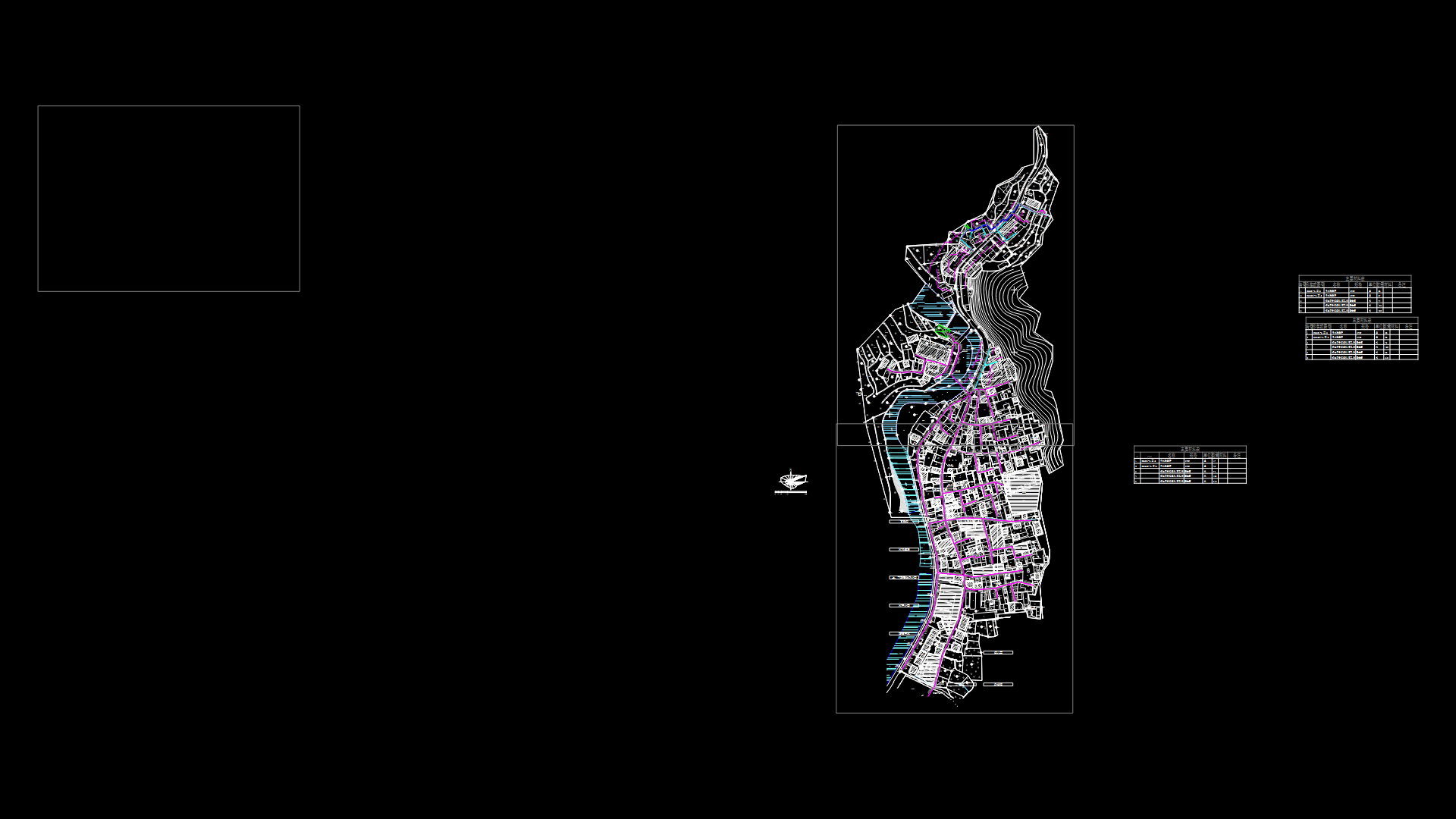
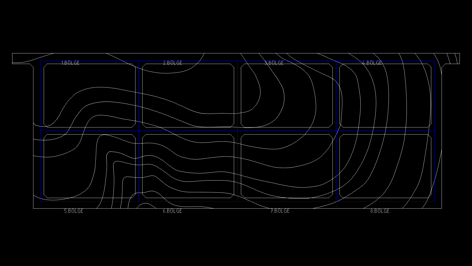
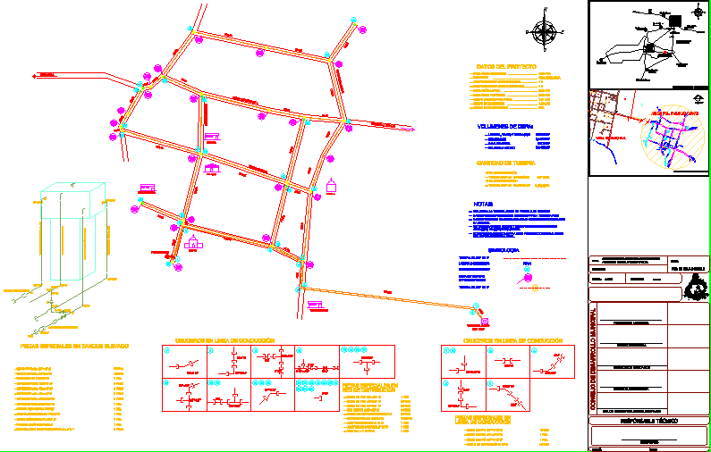
Analysis Urban Tarata DWG Block for AutoCAD

Analysis urban – rural province of Tarata; Tacna region containing the following: Characterization Vial health sector; transport sector; management sector, road infrastructure and road services RANKING socio economic structure economic characterization; economically active population; structure of the population according to production relations
Drawing labels, details, and other text information extracted from the CAD file (Translated from Galician):
unjbg, avoidance way, garcilazo de la vega, avoidance way, calle san martin, carrozable trail, section, section., section, section, section, avoidance way, calle tacna, agricultural area, education, other purposes, trade, interprovincial artery, consolidate, pedestrian influx, main route of July, land, intersection pto. of pedestrian vehicular defocusing, vehicular flow, load, permanent pedestrian vehicular flow, future, road center articulator meeting, education projecting pedestrian flows, informal whereabouts relocate, variables, the avoidance path is the only access front to the intraregional interregional connection behavior, The system of movements as soon as the flows indicate the presence of heavy public transport that will come consolidating future, diagnosis, the avoidance pathway is consolidated as the articular level axis this will require a large flow that should be controlled by an appropriate access system for the proposal in the sector, variables, The land has access fronts such as Av. tacna av Both with different characteristics in terms of their but with a point of cohesion in the entrance tarata, The land is located in the agricultural area at the entrance so carrozable paths that have a pedestrian outlet on the roads are avoided that lead to a significant pedestrian influx on the fronts of the land, diagnosis, the avoidance pathway is in a process of while av. tacna is the current access the central zone of the reason why the accesses to propose must have a certain degree of protection that generates major order as soon as the afluencias, residence, agricultural area, land, section, tacna, road fork, center articulator, av. tacna, land, interprovincial artery, via evitation, vehicle defrosting, vehicular flow, moderate pedestrian outflow, vehicular flow in consolidation, residential area, zone, agricultural, pedestrian, permanent, pedestrian defense center, go to farmland, pedestrian defense center, go to farmland, variables, The location of the land with respect to the roads is thus the avoidance road as the nearest the prolongation. of av. San Martin like one of these two consolidated, Due to the morphology of the terrain, the future proposal in this case should be conditioned for independent accesses, the avoidance pathway due to its connotation should be considered as the first option, diagnosis, Due to the location of the east it does not have access roads access so it will be necessary to propose an annex the avoidance road considering the existing slope the tourist elements of the same without leaving aside the option of entry by the lower part, land, residential area, interprovincial artery, via evitation, land, vehicular flow, interprov charge, future, center articulator, possible attach high part, urban expansion limit, calle san martin, prolong San Martin, moderate pedestrianized pedestrian influx, existing trail, land, possible access, low part, national university jorge basadre grohmann, prepared by, design workshop iv, chair, date:, topic:, course, pag. nº:, day
Raw text data extracted from CAD file:
| Language | N/A |
| Drawing Type | Block |
| Category | City Plans |
| Additional Screenshots |
 |
| File Type | dwg |
| Materials | Other |
| Measurement Units | |
| Footprint Area | |
| Building Features | Car Parking Lot |
| Tags | analysis, autocad, beabsicht, block, borough level, DWG, health, political map, politische landkarte, proposed urban, province, region, road design, rural, stadtplanung, straßenplanung, Tacna, urban, urban design, urban plan, vial, zoning |
