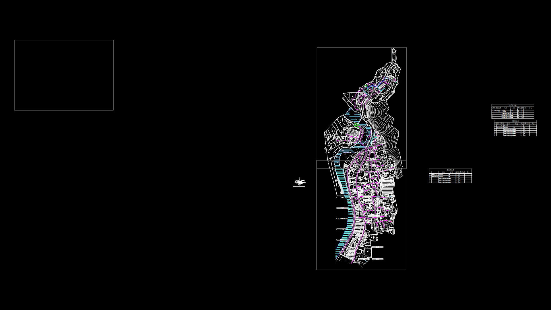
Chocate Plane -Arequipa – Peru DWG Block for AutoCAD
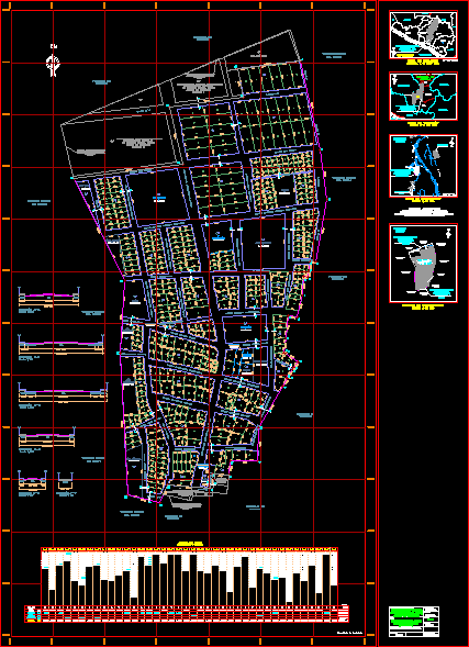
Chocate Plane -Arequipa – Peru
Drawing labels, details, and other text information extracted from the CAD file (Translated from Spanish):
ancient church, check for possible subdivision, concentrate plant, this lot has accumulated lots, social place, eye is missing a lot, local fishermen’s committee, Park, upper institute of technology, industrial area, in rpi, check with kelber, main road aplau, tarapacá street, alfonso ugarte street, francisco bolognesi street, Related searches, street nicolas of pearl, calle ugarteche, street andrés avelino cáceres, main road aplau, street the pines, street extension sucre, street hipólito unanue, street manuel meadow, street rosedales, street the geranios, avenue the cypresses, street sucre, calle simón bolívar, josé olaya street, street the geranios, applause, layout, modification of the, flat, plan approved by executive resolution, Department, arequipa, Castile, district, province, l. Navarrese, date:, scale:, topography:, nc grid, ground eriazos, of the state, lot, area, apples lots, box of areas, mz., reserved area, total, total mz., total, equipment, total, living place, total lots, total, und., lot, area, mz. to’, lot, area, mz., lot, area, mz. b, lot, area, mz., lot, area, mz. c ‘, lot, area, mz., lot, area, mz. d ‘, lot, area, mz., lot, area, mz. and’, lot, area, mz., lot, area, mz. F’, lot, area, mz., lot, area, mz. h, lot, area, mz., lot, area, mz. g, lot, area, mz., lot, area, mz. j ‘, lot, area, mz., lot, area, mz. k ‘, lot, area, mz., lot, area, mz., lot, area, mz., lot, area, mz. m, lot, area, mz., lot, area, mz., lot, area, mz., lot, area, mz., lot, area, lot, area, mz., lot, area, mz., lot, area, mz., lot, area, mz., lot, area, mz., lot, area, mz., lot, area, mz., lot, area, mz., lot, area, mz., mz. ll, production, sports area, square, green area, of health, services, Park, Park, education, sports area, Park, communal, services, education, production, reserved area, reserved, reserved, green area, green area, lot, area, mz. i, lot, area, mz. Y’, area, Street, calle ugarteche, street nicolas of pearl, Related searches, francisco bolognesi street, Street, passage, street rosedales, property of, third parties, property of, third parties, property of, third parties, property of, third parties, ground eriazos, of the state, ground eriazos, of the state, ground eriazos, of the state, reserved area, Street, alfonso ugarte street, francisco bolognesi street, passage, Street, street extension sucre, popular urbanization, population human settlement, of social interest, cochate attachment, production, total, nc north grid, apurímac, camana, the Union, scale, location map, Department, from arequipa, Pacific Ocean, condesuyos, caraveli, I love you, ica, cusco, fist, Castile, islay, moquegua, caylloma, arequipa, irrigation ditch, the header, the mountain, caspani, bocatoma, the real channel, annexed, cochate, ravine, cochate, the slab, z.l., rio majes, road corire aplao, limit, district, applause, Huancarqui, channel mount the pure, rio majes, channel, urban zone, drain
Raw text data extracted from CAD file:
| Language | Spanish |
| Drawing Type | Block |
| Category | City Plans |
| Additional Screenshots |
 |
| File Type | dwg |
| Materials | |
| Measurement Units | |
| Footprint Area | |
| Building Features | Car Parking Lot, Garden / Park |
| Tags | arequipa, autocad, beabsicht, block, borough level, DWG, PERU, plane, political map, politische landkarte, proposed urban, road design, stadtplanung, straßenplanung, urban design, urban plan, zoning |
