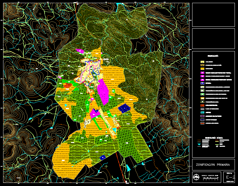
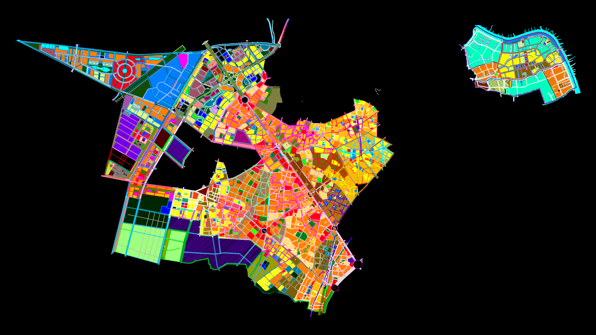
Colon Township Planimetry DWG Plan for AutoCAD

Plan of the City of Columbus, State of Queretaro
Drawing labels, details, and other text information extracted from the CAD file (Translated from Spanish):
boundary, palmita, quiotes, little lion, qro, qro, old ranch dams, to. the dead, to. the painter, dump, municipal, to. honeycomb, b. the elias, colón river, to. San Lorenzo, to. White, to. millelets, to. the goats, b. xoconostle, to. the goats, to. the Moor, b. the goats, primary zoning, plan no., February, basic symbology, terrace, master curves, urban trace, sidewalk, gap, terrace, runoff, contour lines, body of water, paved road, to. the amoles, p. colon, to. in the middle, b. the place, b. the anime, b. the deer, to. the cacalote, the flints, battery, progress, ecological protection, Urban area, population center limit, toliman, ajuchitlan, qro, moderate ecological protection, symbology, aquifer, increase, boundary, New way, b. owl, progress, saturation consolidation, industry, intensive agricultural ecological protection, material bank, peam, peai, pep, peam, peai, pep, peum, c. the borders, c. the crosses, ecological protection, transition threshold, maximum protection limit, Processing facilities, ecological protection multiple uses, peum, peum, peum, peum, urban area boundary, service equipment education culture, service equipment recreation sport, service s
Raw text data extracted from CAD file:
| Language | Spanish |
| Drawing Type | Plan |
| Category | City Plans |
| Additional Screenshots |
 |
| File Type | dwg |
| Materials | |
| Measurement Units | |
| Footprint Area | |
| Building Features | Car Parking Lot |
| Tags | autocad, beabsicht, borough level, city, colon, DWG, mexico, plan, planimetry, political map, politische landkarte, proposed urban, queretaro, road design, stadtplanung, state, straßenplanung, township, urban design, urban plan, zoning |


