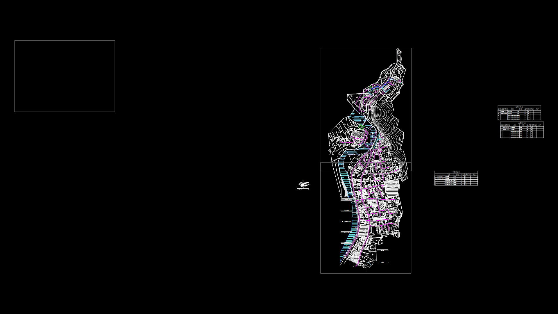
Delimitation Of Space Era Huaro DWG Block for AutoCAD
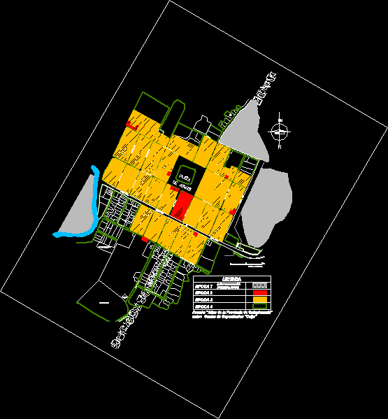
Look for color differentiation distribution and urban expansion according to the time at which it was created Huaro district. this way we can compare your old.
Drawing labels, details, and other text information extracted from the CAD file (Translated from Spanish):
milestone, jiron two of may, jiron miguel grau, oliart street, Street Bolivar, spine street, street covers, calle escobar, bolognesi street, san martin street, huaro’s brook, sports Complex, avenue huascar, jiron miguel grau, street chorrillos, street helpless, Street, roberto barrionuevo street, spa street, street extension espinar, chincalle, passage, jiron two of may, roberto barrionuevo street, initial educational center, huaro, spine street, square, social Club, avenue huascar, time, graphic scale, avenue huascar, time, square, source: author’s province. training center, of weapons, time, san martin street, bolognesi street
Raw text data extracted from CAD file:
| Language | Spanish |
| Drawing Type | Block |
| Category | City Plans |
| Additional Screenshots |
 |
| File Type | dwg |
| Materials | |
| Measurement Units | |
| Footprint Area | |
| Building Features | Car Parking Lot |
| Tags | autocad, beabsicht, block, borough level, color, created, cusco, delimitation, distribution, district, DWG, expansion, location, perimeter, political map, politische landkarte, proposed urban, road design, space, stadtplanung, straßenplanung, Time, urban, urban design, urban plan, zoning |
