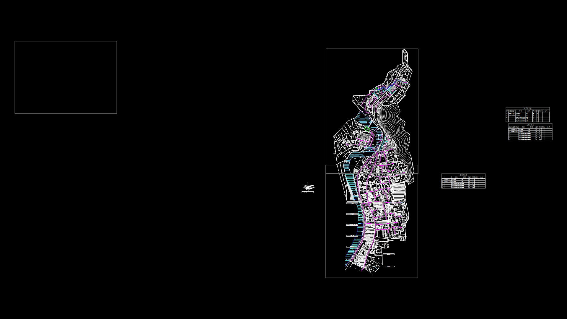
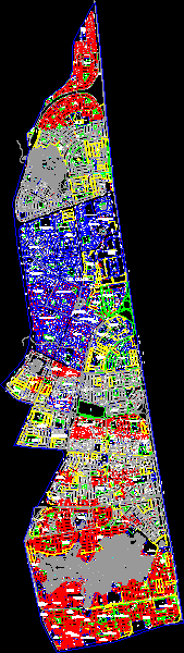
Fusagasuga Planning – Rural And Urban DWG Block for AutoCAD
ADVERTISEMENT

ADVERTISEMENT
Fusagasuga planning – Rural and urban – Territorial clasification ( Pot)
Drawing labels, details, and other text information extracted from the CAD file:
via, urbanizacion monteverde, z.v.
Raw text data extracted from CAD file:
| Language | English |
| Drawing Type | Block |
| Category | City Plans |
| Additional Screenshots |
 |
| File Type | dwg |
| Materials | |
| Measurement Units | |
| Footprint Area | |
| Building Features | Car Parking Lot |
| Tags | autocad, beabsicht, block, borough level, DWG, planning, political map, politische landkarte, pot, proposed urban, road design, rural, stadtplanung, straßenplanung, territorial, urban, urban design, urban plan, zoning |
Related Products

Same Contributor
Featured Products


