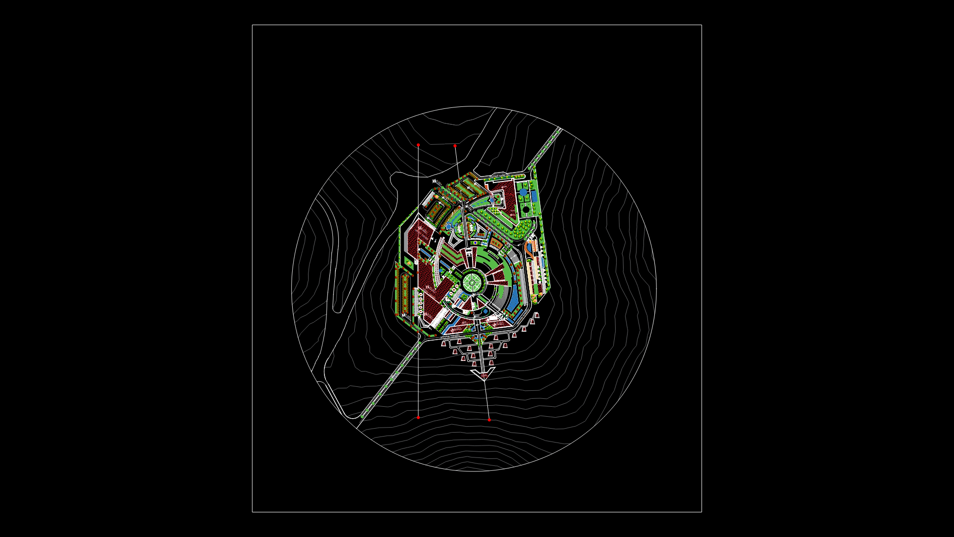
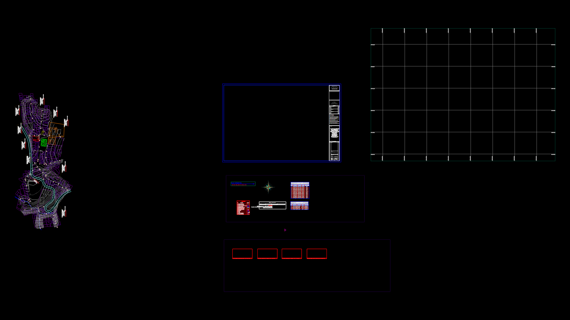
Habilitation Urbana Urban DWG Block for AutoCAD
ADVERTISEMENT

ADVERTISEMENT
Urban habilitation is the process of converting a rustic land in urban; by executing works of accessibility; water distribution and sewage collection; power distribution and public lighting; tracks and paths. In Addition; field may have networks for gas distribution and communication networks .
Raw text data extracted from CAD file:
| Language | N/A |
| Drawing Type | Block |
| Category | City Plans |
| Additional Screenshots | |
| File Type | dwg |
| Materials | |
| Measurement Units | |
| Footprint Area | |
| Building Features | |
| Tags | accessibility, autocad, beabsicht, block, borough level, DWG, equipment, habilitation, land, political map, politische landkarte, process, proposed urban, road design, roads, rustic, stadtplanung, straßenplanung, urban, urban design, urban plan, urbana, works, zoning |


