High Level Of Canyon DWG Plan for AutoCAD
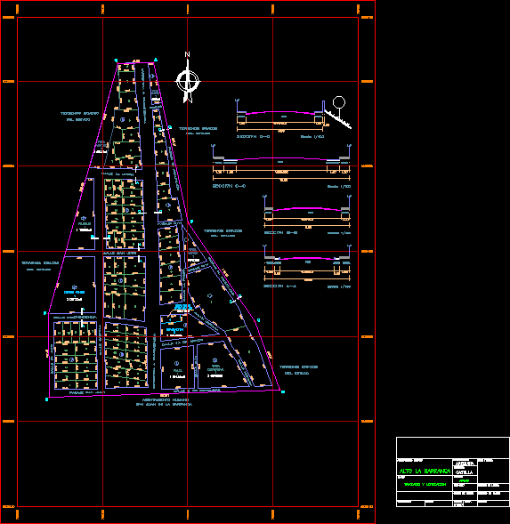
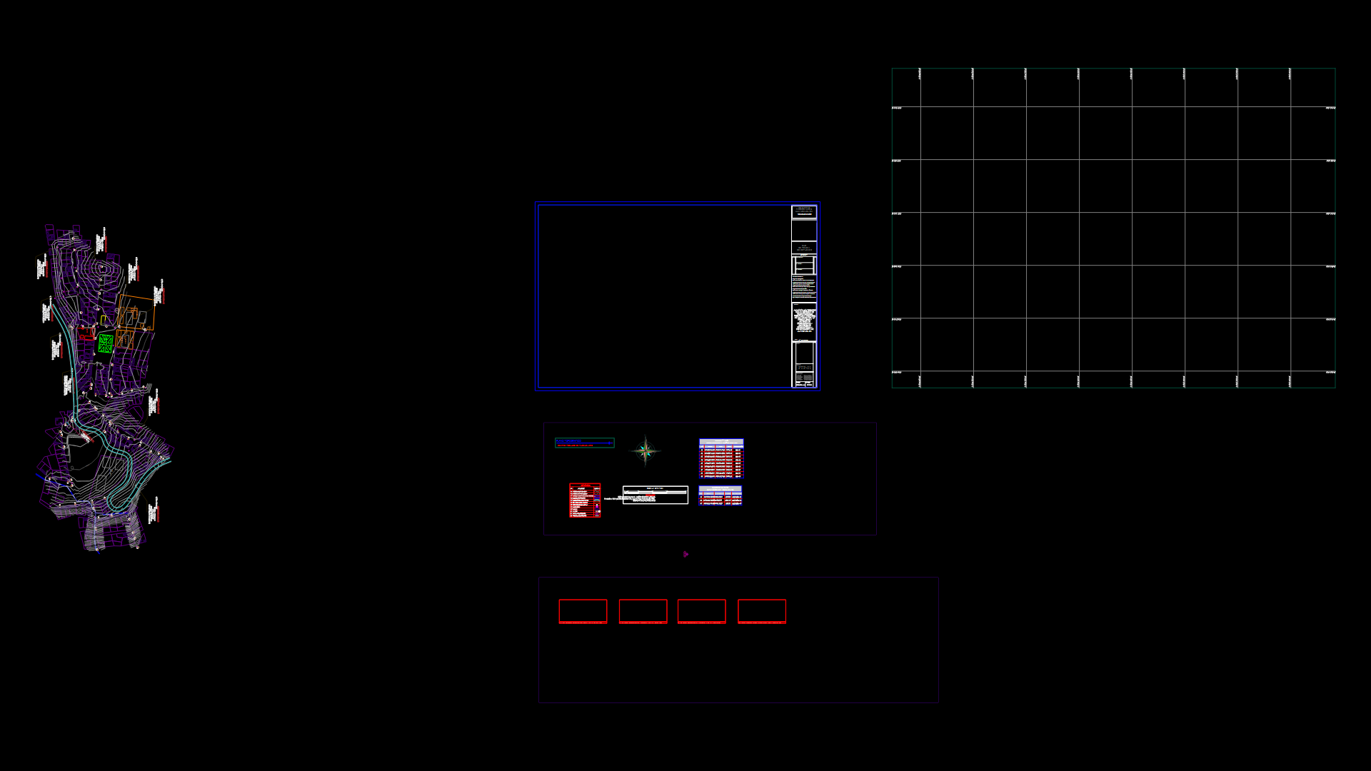
FINAL PLAN COMPLETE WITH HIGH CURRENT ROAD SECTIONS OF THE CANYON (LOCATED IN AREQUIPA – CASTILLA)
Drawing labels, details, and other text information extracted from the CAD file (Translated from Spanish):
other purposes, Park, green, area, green, area, green, communal, services, square, sporty, area, education, road chuquibamba, independence street, san jose street, street castilla, passage san juan, street the union, passage the cliff, street la pampa, passage the cliff, street syringe, march street, September street, street syringe, passage, road chuquibamba, ground eriazos, of the state, ground eriazos, of the state, ground eriazos, of the state, ground eriazos, human settlement, San Juan de la Barranca, sheet number, plane number, technical area, archive, high the canyon, layout, flat, human settlement, Department, district, province, scale, topography:, edition:, applause, building code, arequipa, Castile, date, variable, section, sidewalk, parking lot, garden, sidewalk, scale:, parking lot, track, sidewalk, variable, garden, track, sidewalk, scale:, section, sidewalk, track, sidewalk, ground eriazos, of the state, street the high, Street, passage, scale:, sidewalk, track, sidewalk, section, variable, passage
Raw text data extracted from CAD file:
| Language | Spanish |
| Drawing Type | Plan |
| Category | City Plans |
| Additional Screenshots |
 |
| File Type | dwg |
| Materials | Other |
| Measurement Units | |
| Footprint Area | |
| Building Features | Car Parking Lot, Garden / Park |
| Tags | arequipa, autocad, beabsicht, borough level, canyon, complete, current, DWG, final, high, Level, located, plan, political map, politische landkarte, proposed urban, Road, road design, sections, stadtplanung, straßenplanung, urban design, urban plan, zoning |
