Locumba Plane DWG Block for AutoCAD

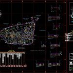
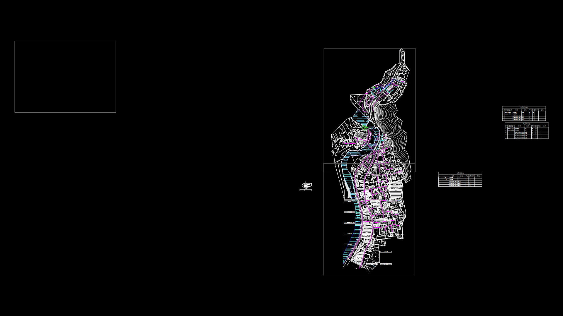
General plane of Locumba Town District Basadre – Tacna
Drawing labels, details, and other text information extracted from the CAD file (Translated from Spanish):
Street, living place, total, equipment, total mz, of apples lots, lt., area, lt., mza., area chart, basement, villa locumba, responsible technician, registry, dra. liliana cerron baldeon, quality, supervision, approval, trainee manager, layout lotization, locumba, Department, building code, scale, province, district, George, tacna, cofopri, commission of formalization of informal property, produced by:, archive, flat, traditional village:, g.r.e., technical area, date, plan, of sheet, villa locumba, green area, square, circulation area, gross area, complementary services, communal services, other purposes, water reservoir, education, Health, housing area, public recreation, total area of urban equipment, floor area, description, partial, partial area, total area, general, traditional village, general table of areas, area, mza., lt., area, lt., mza., area, mza., area, lt., mza., total, owned by third parties, farmland, owned by third parties, farmland, of the state, property land, of the state, property land, of the state, property land, communal, services, communal, services, communal, services, Street, communal, services, education, Finnish, others, communal, services, reservoir, communal, services, communal, services, Finnish, others, square, Alfonso, ugarte, caceres, marshal, Street, education, green area, green area, green, area, communal, services, Sucre Passage, communal, services, green area, Health, communal, services, sidewalk, track, section, scale:, sidewalk, track, section, scale:, sidewalk, sidewalk, berm, sidewalk, track, section, scale:, sidewalk, sidewalk, track, section, scale:, square, parking lot, sidewalk, section, scale:, track, section, scale:, sidewalk, sidewalk, Street, Miguel Grade, avenue bypass, bolognesi, Street, avenue bypass, grade, San Martin, Miguel Street, Street, incline, Street, street sucre, sanchez carrion street, avenue bypass, bolognesi street, Street, alfonso ugarte street, bypass, avenue, street sucre, passage, bolivar, Street, meadow, lioness, avenue bypass, communal, services, green, area, Finnish, others, sidewalk, sidewalk, track, section, scale:, sidewalk, sidewalk, track, section, scale:, sidewalk, track, section, scale:, sidewalk, sidewalk, berm, locumba, district of, location map, scale, coastal road, tacna, village village, mouth of the river, table top, punta camajuata, ocean, peaceful, traditional village, villa locumba, Panamerican’s highway, rio locumba, rio sama, morro sama, sharp point, pampa ite north, hill chulibaya, camiara, high camiara, look, ilabaya, villa locumba, tacna, rio locumba, rio sama, of the state, ground eriazos, avenue, avenue bypass, lots registered on the property register of tacna
Raw text data extracted from CAD file:
| Language | Spanish |
| Drawing Type | Block |
| Category | City Plans |
| Additional Screenshots |
 |
| File Type | dwg |
| Materials | Other |
| Measurement Units | |
| Footprint Area | |
| Building Features | Car Parking Lot, Garden / Park |
| Tags | autocad, beabsicht, block, borough level, district, DWG, general, plane, political map, politische landkarte, proposed urban, road design, stadtplanung, straßenplanung, Tacna, town, urban design, urban plan, zoning |


