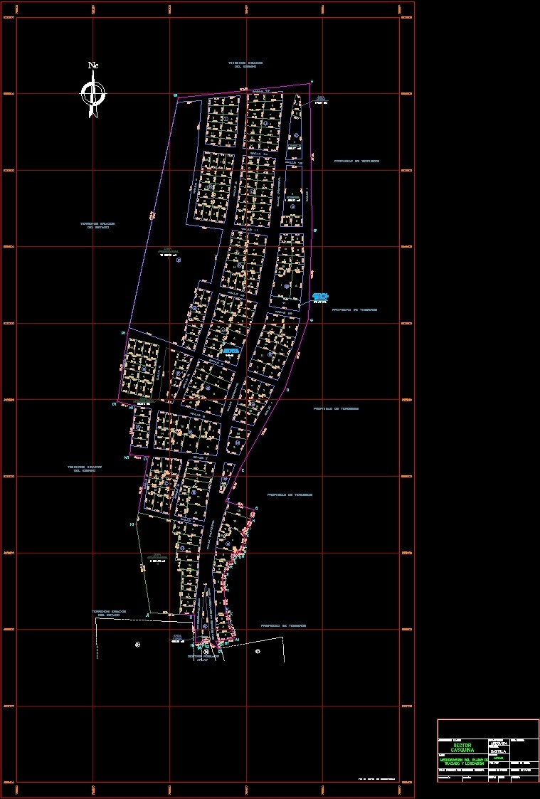
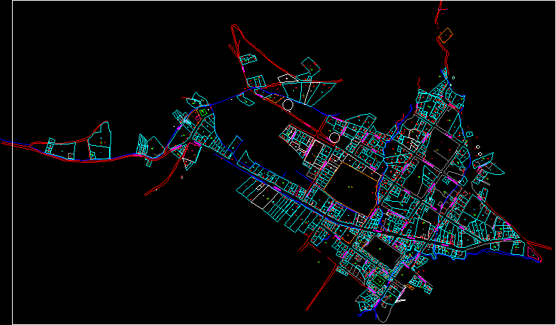
Map Casquin, Peru DWG Block for AutoCAD
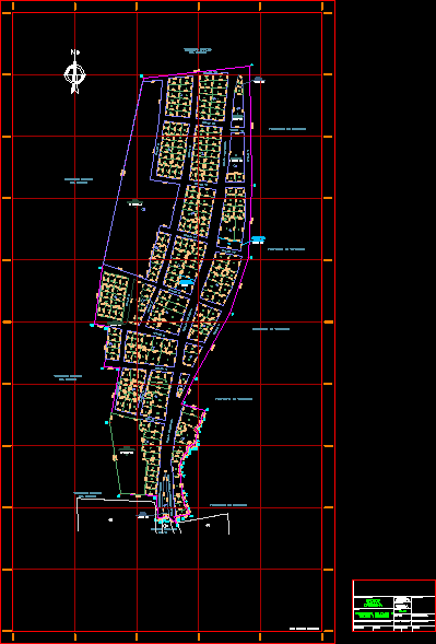
MAP WITH COMPLETE FINAL LAYOUT AND CURRENT CHANGES divided of Casquin (Lotc. IN AREQUIPA – CASTILLA)
Drawing labels, details, and other text information extracted from the CAD file (Translated from Spanish):
Commerce, area, communal, street extension juan pablo vizcardo guzman, street, main Street, Street, ground eriazos, of the state, ground eriazos, of the state, ground eriazos, of the state, owned by third parties, ground eriazos, of the state, populated center, applause, archaeological, main Street, Street, main Street, layout, modification of the, archive, topography:, edition:, sector, applause, casquina, sheet number, flat, building code, plan approved by executive resolution, plane number, human settlement, Department, arequipa, Castile, district, province, technical area, scale, date, green, services, zone, communal, services, archaeological, zone, archaeological, zone, area, green, Commerce, Street, sidewalk, owned by third parties, nc grid
Raw text data extracted from CAD file:
| Language | Spanish |
| Drawing Type | Block |
| Category | City Plans |
| Additional Screenshots |
 |
| File Type | dwg |
| Materials | |
| Measurement Units | |
| Footprint Area | |
| Building Features | Car Parking Lot |
| Tags | arequipa, autocad, beabsicht, block, borough level, castilla, complete, current, divided, DWG, final, layout, map, PERU, political map, politische landkarte, proposed urban, road design, stadtplanung, straßenplanung, urban design, urban plan, zoning |
Related Products
Same Contributor

Featured Products


