Map Of San Carlos; Morazan DWG Block for AutoCAD
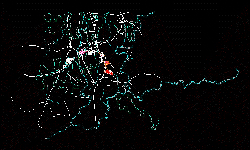
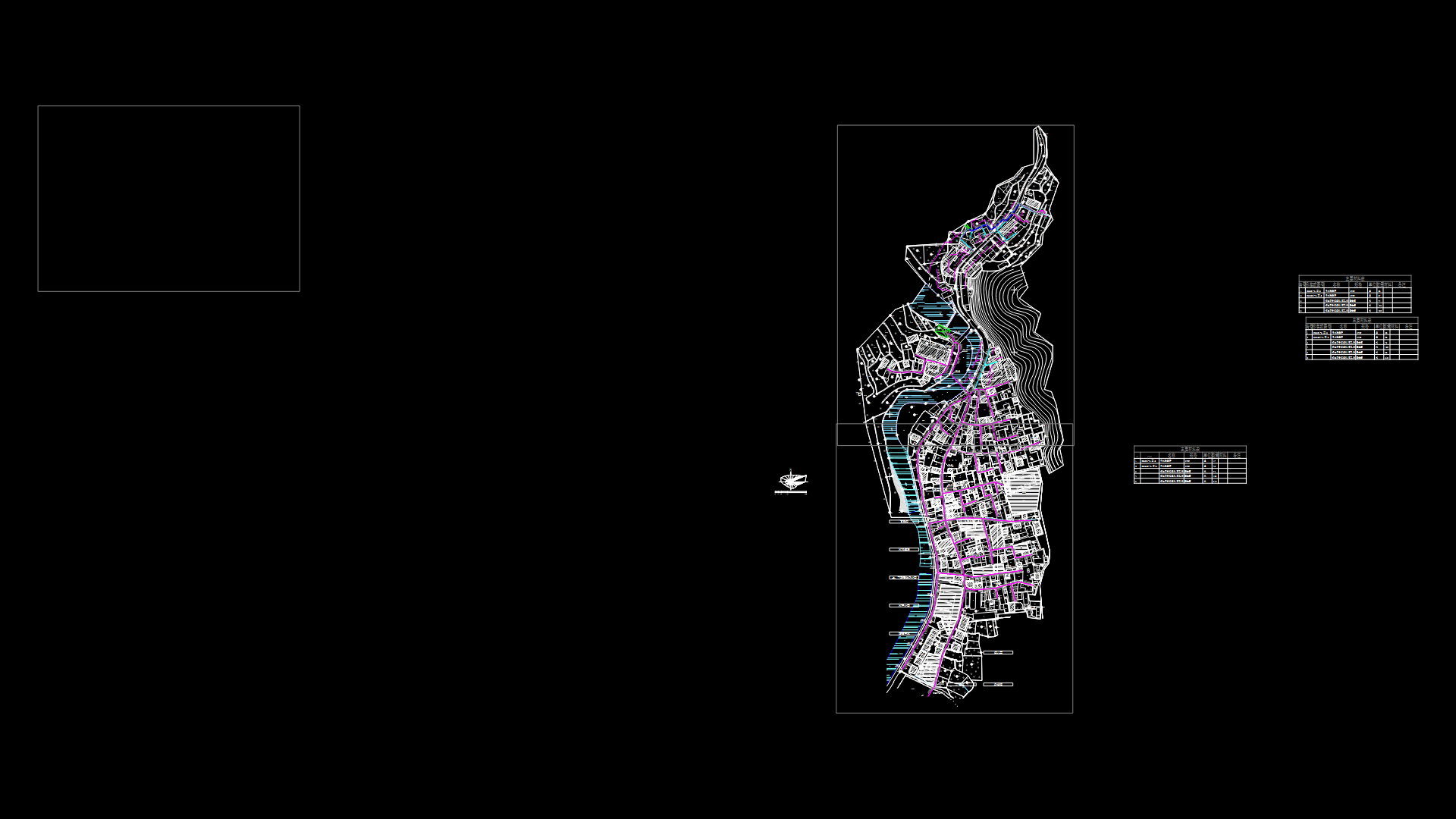
MAP OF THE MUNICIPALITY OF SAN CARLOS; DEPARTMENT MORAZAN; THE SAVIOR
Drawing labels, details, and other text information extracted from the CAD file (Translated from Spanish):
hda san diego, Brown, the portillo, baby cunt, Saint Joseph, hda sta barbarian, the grenades, the rosemary, the villaherrera, baby cunt, new valley, holy well, the bonilla, the Gomez, white gate, baby cunt, the triumph, where is he, water well, qda the pantheon, qda, ranger, what’s the fish, Red beard, qa bonilla, qda maculís, qda almendrales, that’s the jump, where the higuerones, where is he, mojaculo, west street, street east, street map, street neighborhoods, west street, street east, west street, street ote, Street, round, north avenue, avenue guzman, avenue morazan, south avenue, north avenue, south avenue, rio san francisco, cemetery, old, military route, neighborhood, peace, neighborhood, center, p.n.c., town hall, antel, Park, community House, school, Health Unit, Catholic Church, court, post, store, pharmacy, store, cemetery, polygon, polygon, polygon, polygon, polygon, polygon, polygon, school, Saint Charles, san francisco street, main street new valley, street the jewel, av san carlos, passage not, av morazan, passage not, polygon, polygon
Raw text data extracted from CAD file:
| Language | Spanish |
| Drawing Type | Block |
| Category | City Plans |
| Additional Screenshots |
 |
| File Type | dwg |
| Materials | |
| Measurement Units | |
| Footprint Area | |
| Building Features | Car Parking Lot, Garden / Park |
| Tags | autocad, beabsicht, block, borough level, carlos, department, DWG, El Salvador, land, map, morazan, municipality, political map, politische landkarte, proposed urban, road design, san, savior, stadtplanung, straßenplanung, urban design, urban map, urban plan, urbanism, zoning |
