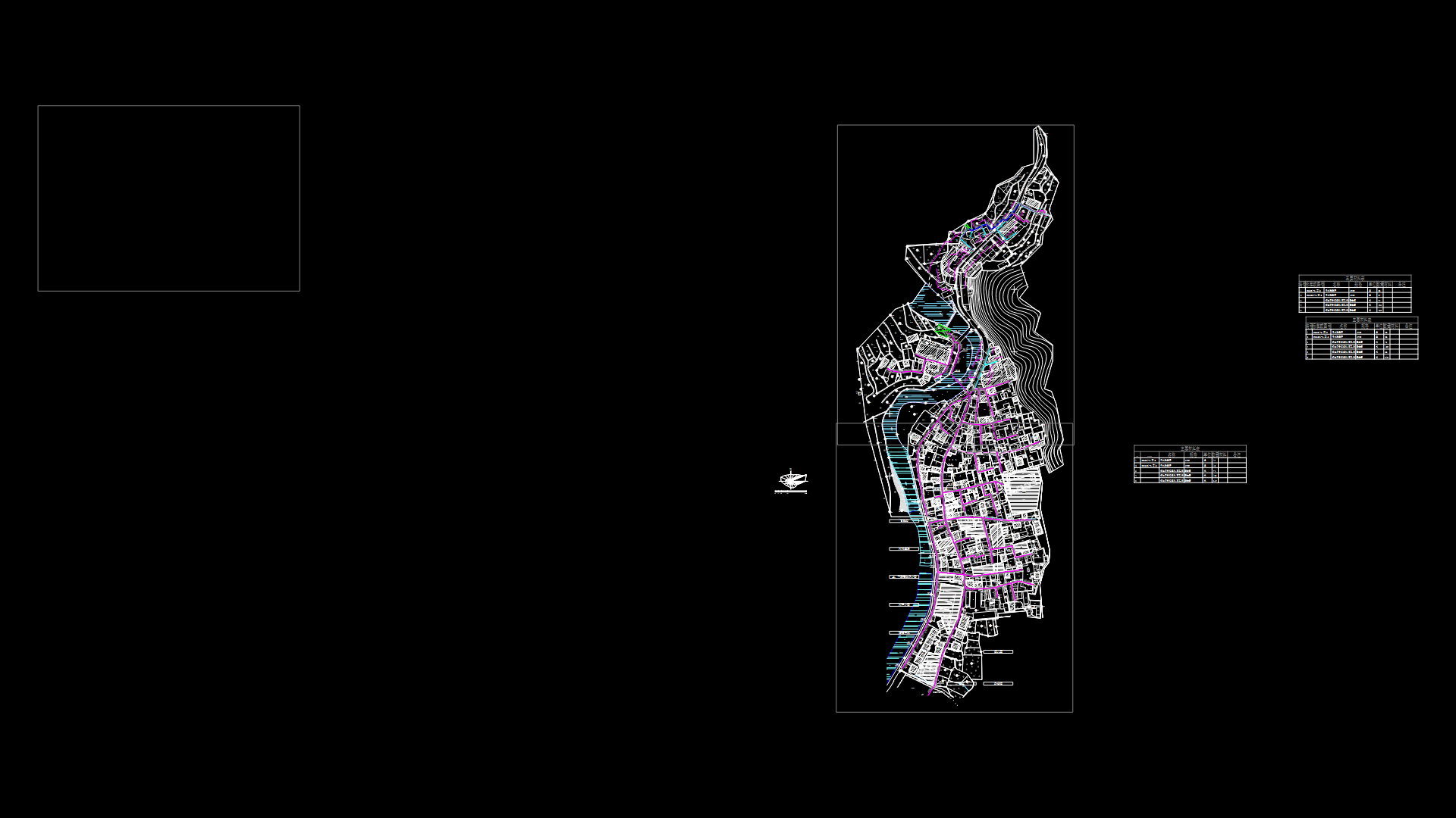
Map Of The San Juan Avenue Street E Morros DWG Block for AutoCAD
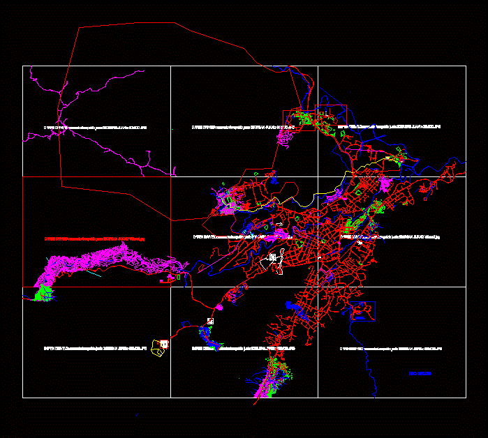
GEO PROPERTY REFERENCED IN UTM coordinates REGVEN CITY OF SAN JUAN MORROS. EDO GUARICO. VENEZUELA. MADE FROM raster images RETURN AIR PHOTO
Drawing labels, details, and other text information extracted from the CAD file (Translated from Spanish):
multifamily housing in the prolongation of the av. plot, low level, arq. luis jaimes d., av. antonio miguel san juan de los morros, armando gutierrez the., civil technology, fresh valley inverter c.a., c. i. v, drawing:, scale:, c. i. v, date:, December, project: sanitary facilities:, structure:, c. i. v, electrical installations:, residences valley cool, arq. luis jaimes d., arq. setting j. gutierrez g., ing. benign sotomayor, ing. Miguel Martinez, urb. antonio miguel san juan of the state guarico, Street, Street, main Street, lucianero neighborhood, neighborhood la vega, street sucre, zamora street, el pinar street, Archimedes Rivals, jose perez, florentine obando, yaris fernandez, eladio brizuela, luiggi muto, paola de jimenez, jose marquez, subtle douglas, ramon cedeño, jose garcia, daripollo, Spanish, Luisa requena, there first, german fernandez, carmelo fernandez, naurilis magallanes, Achilles Spinoza, wild alvarez, terminal, av jose felix rivas, street infant, street paez, avenue miranda, street salias, rio san juan, asovecinos the weaving, asovecinos junin, Gerogranja, municipal nursery, urb. altamira, to know, via urb romulo gallegos, what B. guaiquera, tank, av. rómulo gallegos, engineering center, thermal baths, hidropáez, scale, av. armed forces, airport, ptj, ebn eduardo mendez, neighborhood the mercedes, juan germán roscio street, freddy mota, alexis irausquin, edith orta, green areas, urb. evaristo linares vega, guarican cirmil, have, urb. beautiful view, its T. meteorological f.a.v., g.n., the star, south, north, East, playground doña eva, place no, green area, access to the Tamanaco building., West, place no, street ppal industrial zone, owner: yesid torres b., bicentennial neighborhood, Street, bicentennial street, urb. pariapan, hidropáez, via the castrero, ravine, av fermin toro, av. bolivar, Street, sidewalk, house nº, green area, house nº, willian quintero, street the magisterium, passage, union alley, av. fermin bull, bicentennial neighborhood, street union, we are all, have, hill view, ravine, imparques, Av., main Street, beautiful hill terraces, the delirium, sta barbara, lagoon, stadium, the hope, the carmen, municipal waste, mts, sun claret de cabrera, asovecinos cujicito, san juan de los morros, broken the dump, street ppal sector, july lozada, gustavo arcay caraballo, gustavo arcay briceño, case in dispute, street farriar, devy street, mts, av. The plains, via the castrero, land of i.a.n., today inti, Manuel Rebolledo, archimedes rebolledo, point, East, north, Mr. castle, Mrs. White Peace, sra petra vasquez, sra prince salomon, Mrs. Zoraida Camacho, Mrs. Belen Sanchez, Mrs. Mirian Sanchez, Mr. miceris cadiz, dra. romelia diaz, Mr. castle, street the, henry acosta, antonio acosta, to smooth abdul, Juan, edith, boris, pedro pablo cabrera, mario iragorry street, have, sidewalk, alley of lourdes, zamora street, banker, north: grounds of the urb. rómulo gallegos, south: national land, this: urb romulo gallegos, west: national land, urb. Romulo Gallegos, urb. romul gallegos, national land, street the spa, road via camoruquito, neighborhood victoria, I shut the fuck up, neighborhood vic
Raw text data extracted from CAD file:
| Language | Spanish |
| Drawing Type | Block |
| Category | City Plans |
| Additional Screenshots |
 |
| File Type | dwg |
| Materials | |
| Measurement Units | |
| Footprint Area | |
| Building Features | Car Parking Lot |
| Tags | autocad, avenue, beabsicht, block, borough level, cadastre, city, coordinates, DWG, juan, map, political map, politische landkarte, property, proposed urban, road design, san, stadtplanung, straßenplanung, street, topography, urban design, urban plan, utm, zoning |
