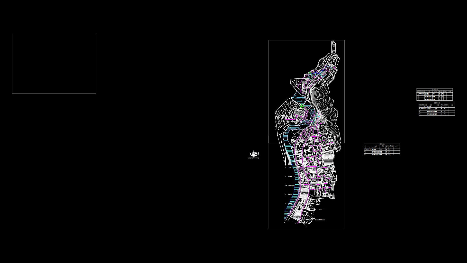
Pampacolca Arequipa Base DWG Block for AutoCAD

Base district of Pampacolca Arequipa in UTM coordinates and general cadaster
Drawing labels, details, and other text information extracted from the CAD file (Translated from Spanish):
eriazo, urban, area, hill, hunting, pampacolca district, district, pampacolca, viraco district, tipan district, peasant community, tuhuallqui, cc, annex, piscobamba, community, peasant, annex community peasant, limit, peasant community, piscopampa, zl , sector antaura, alley, road, highway, san, antonio, sector candelaria, hill mines, sector mines, stadium, quiscata, big road, pampacolca, plaza, main, hill chojemarca, hill unchuy, hill jajasmanca, urban area, kurhuani, peraspampa, espiritu, santo, antipampa, campanayoc, a chicota, pampachacra, ccollpa, a la, kaisurca, urbnana, ruins of, abandoned, antipampa, horseshoe, viraco, hillside, a viraco, road, mount, caserio, belen sector, white river, tuhualqui, archaeological, ca., ruins, ruins of, maucallacta, a chuquibamba, sector pauca, houses, hill antaura, fence, road to, hill tullohuasa, hill hasahuinto, hill spirit, way to holy spirit, road to puca, hill yawarorqo, a tallohuaca, road to supaura, sector jollpa, a collpa, hill lucmayoc, hill lumpuy, ccp, carbonnillo, cp, works, town, araguay, piscopampa, santa rosa, eriazo, sihuarpo, hill, drum, hill father rume, a escaura, zu, huallapunko, corrals, cerdenas cardenas, canal, pena, cerro llahuayoc, a curipa, stadium, coverage, arborea, san antonio road, karkesta, corral, plant, electric, san antonio, curve, sayna, of the beautiful, yato, large scale, antipampa hill, annex pirac, hill acchanca, sector pantaura, zu, mount, ditch, pond, ditch cunya, channel current, river, chilincay, del, chico, pucarumi, jonti, karmesta, quebrada, chinchay, yato , raqui, karkesta, mother, razed, huanso, large, reedbeds, huayaja, aroquilla, araquilla, rio antaura, acuyoc, huasi, of antaura, huacratayoc, antaura, acequia, quebrada sentera, canal puca, canal de puca, canal principal san antonio, hasahuinto, of puca, quebrada, pumarume, canal, grande, rantan, boy, spring, that shua, river, ardo, sihu, queb, rada, que, yoc, arrazado, saina, olivuyoc, well, ruruca, santa ana, pariamasa, boy, los, olivos, sausal, public, paneton, rio yato, curipac, quebrada de , drain, cesska, curipal, hoyada, tuhualqui, black ravine, estanq., river tuhualqui, reservoir, area in litigation, duplic., dup.
Raw text data extracted from CAD file:
| Language | Spanish |
| Drawing Type | Block |
| Category | City Plans |
| Additional Screenshots |
 |
| File Type | dwg |
| Materials | Other |
| Measurement Units | Metric |
| Footprint Area | |
| Building Features | |
| Tags | arequipa, autocad, base, beabsicht, block, borough level, cadaster, coordinates, district, DWG, general, political map, politische landkarte, proposed urban, road design, stadtplanung, straßenplanung, urban design, urban plan, utm, zoning |


