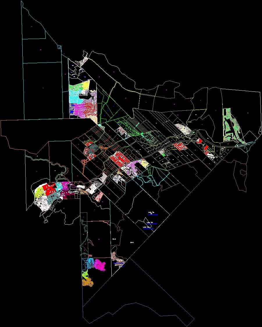
Parcel Map San Martin De Los Andes, Neuquen, Argentina DWG Block for AutoCAD
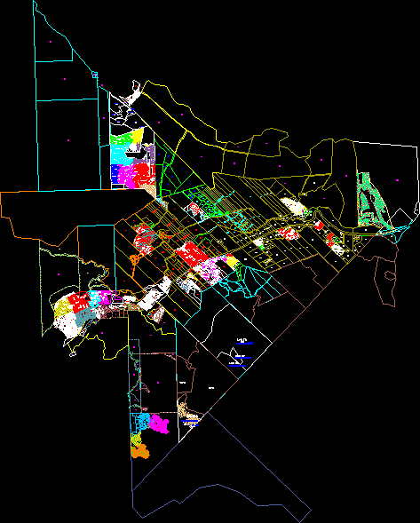
cadastral map of the town of San Martin de los Andes in the Province of Neuquen
Drawing labels, details, and other text information extracted from the CAD file (Translated from Spanish):
wind walk, school ride, ride through, sun walk, oak walk, color walk, cherry tree walk, side walk, walk by, turn round, meeting rendezvous, sunset stroll, pioneer’s walk, gingin alley, route prov., Friendship, the apple trees, route prov., the notros, the oaks, the raulies, resv, cecum, ceases, F. fader, l. spilimbergo, raul soldi, r. p. gomez, mill fields, antonio berni, benito quinquela martin, Lola lives, benito quinquela martin, Lola lives, m. m. guemes, Lola lives, alberdi, b. miter, b. airs, chapel, the girl, gabriel saurel, luis goñi, dr. ernesto luis nuñez, cjon beautiful, jujuy, Santa Fe, Black river, the Rioja, Between rivers, catamarca, s. of the estero, chaco, cjon beautiful, neuquen, s. laury, berta koessler, manuel castilla, Miguel a. path, marcelo berbel, hugo berbel, gregorio alvarez, Pablo Neruda, alfonsina storni, leopoldo lugones, hugo berbel, Jorge Luis Borges, ernesto sabato, jose hernandez, horacio quiroga
Raw text data extracted from CAD file:
| Language | Spanish |
| Drawing Type | Block |
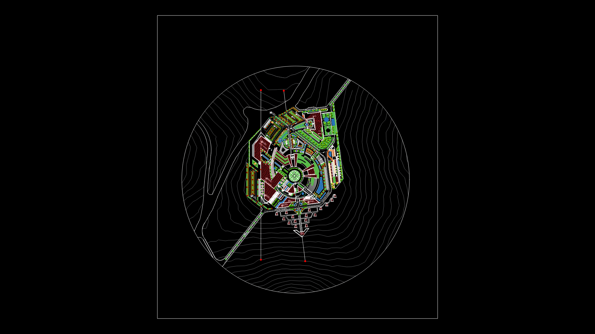
| Category | City Plans |
| Additional Screenshots |
 |
| File Type | dwg |
| Materials | |
| Measurement Units | |
| Footprint Area | |
| Building Features | Car Parking Lot |
| Tags | argentina, autocad, beabsicht, block, borough level, cadastral, de, DWG, los, map, martin, neuquen, parcel, political map, politische landkarte, proposed urban, province, road design, san, stadtplanung, straßenplanung, town, urban design, urban plan, zoning |
Related Products
Same Contributor

Featured Products


