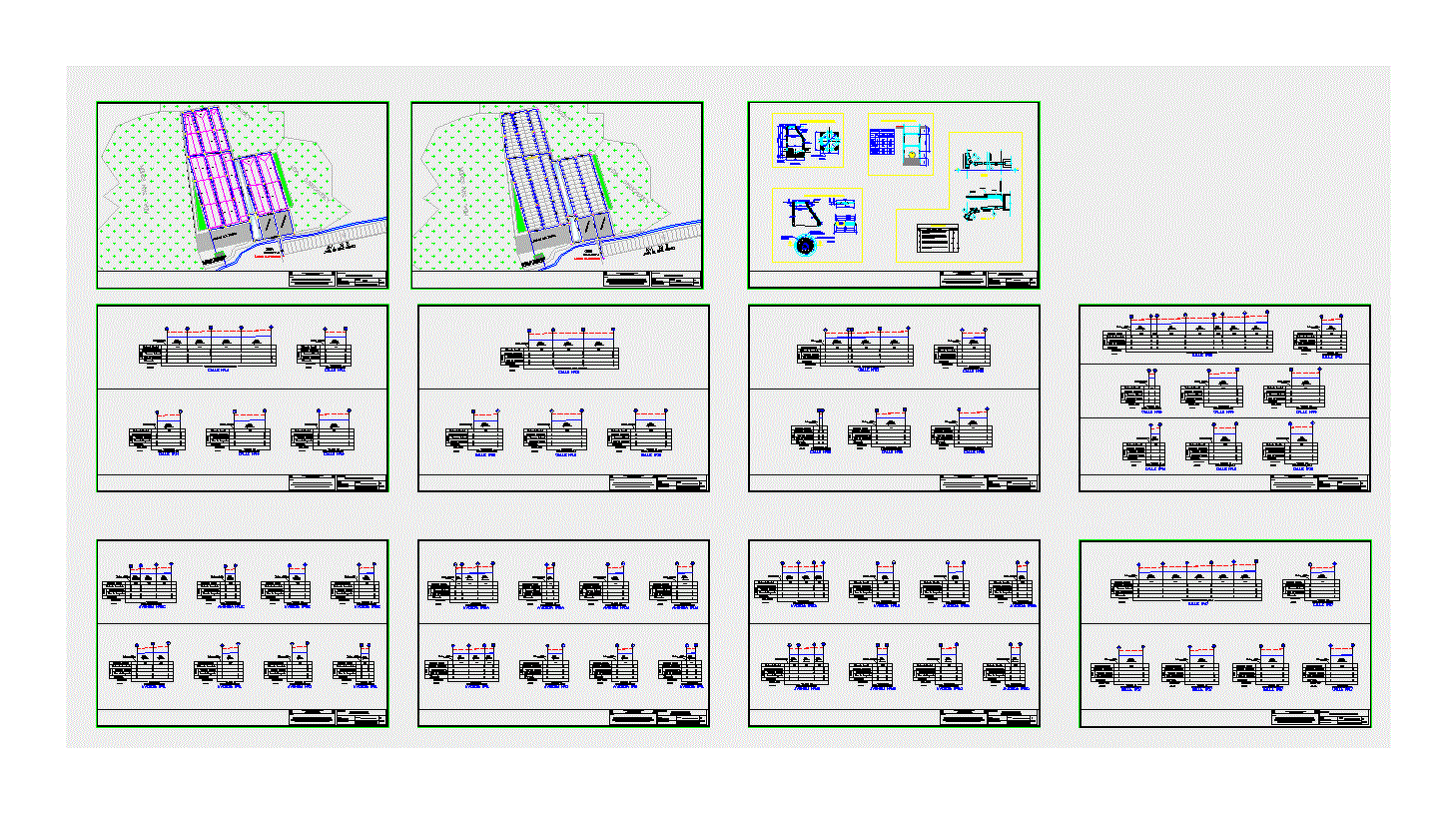
Plan For Desilting River DWG Plan for AutoCAD
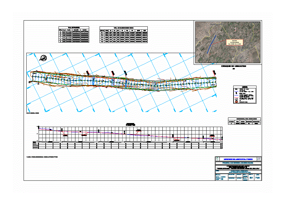
Plano desilting river.
Drawing labels, details, and other text information extracted from the CAD file (Translated from Spanish):
legend, cutting area, filling area, reviewed, topographer cad:, responsable, indicated, approved, date, scale, sub sectoral irrigation program, ministry of agriculture irrigation, dec., district, region, province, Location, lime, typical sections, flat, f.t.r #, sheet, lime, pachacamac, sector: the forturosa km. km., legend, cutting area, filling area, natural terrain, decolmation of the channel of the river lurin, lirilu activity of descolmatacion, enhanced technical file, reviewed, topographer cad:, responsable, indicated, approved, date, scale, sub sectoral irrigation program, ministry of agriculture irrigation, dec., district, region, province, Location, lime, cross-sections, flat, f.t.r #, sheet, lime, pachacamac, sector: the forturosa km. km., scale sections, decolmation of the channel of the river lurin, lirilu activity of descolmatacion, enhanced technical file, reviewed, topographer cad:, responsable, indicated, approved, date, scale, sub sectoral irrigation program, ministry of agriculture irrigation, dec., district, region, province, Location, lime, cross-sections, flat, f.t.r #, sheet, lime, pachacamac, sector: the forturosa km. km., scale sections, decolmation of the channel of the river lurin, lirilu activity of descolmatacion, enhanced technical file, rio lurin, reviewed, topographer cad:, responsable, indicated, approved, date, scale, sub sectoral irrigation program, ministry of agriculture irrigation, dec., district, region, province, Location, lime, cross-sections, flat, f.t.r #, sheet, lime, pachacamac, sector: the forturosa km. km., scale sections, decolmation of the channel of the river lurin, lirilu activity of descolmatacion, enhanced technical file, volume, ac:, air:, meter sheet, progressive, cut, filling, cut, filling, cumulative cut volume, accumulated fill volume, volume, ac:, air:, volume, ac:, air:, volume, ac:, air:, volume, ac:, air:, volume, ac:, air:, volume, ac:, air:, volume, ac:, air:, volume, ac:, air:, volume, ac:, air:, volume, ac:, air:, volume, ac:, air:, volume, ac:, air:, volume, ac:, air:, volume, ac:, air:, volume, ac:, air:, volume, ac:, air:, volume, ac:, air:, volume, ac:, air:, volume, ac:, air:, volume, ac:, air:, volume, ac:, air:, volume, ac:, air:, volume, ac:, air:, volume, ac:, air:, volume, ac:, air:, volume, ac:, air:, volume, ac:, air:, volume, ac:, air:, volume, ac:, air:, volume, ac:, air:, volume, ac:, air:, volume, ac:, air:, volume, ac:, air:, volume, ac:, air:, volume, ac:, air:, volume, ac:, air:, volume, ac:, air:, volume, ac:, air:, volume, ac:, air:, volume, ac:, air:, volume, ac:, air:, volume, ac:, air:, volume, ac:, air:, volume, ac:, air:, volume, ac:, air:, volume, ac:, air:, volume, ac:, air:, volume, ac:, air:, volume, ac:, air:, volume, ac:, air:, volume, ac:, air:, volume, ac:, air:, volume, ac:, air:, volume, ac:, air:, volume, ac:, air:, volume, ac:, air:, volume, ac:, air:, volume, ac:, air:, volume, ac:, air:, volume, ac:, air:, volume, ac:, air:, volume, ac:, air:, volume, ac:, air:, volume, ac:, air:
Raw text data extracted from CAD file:
| Language | Spanish |
| Drawing Type | Plan |
| Category | City Plans |
| Additional Screenshots | |
| File Type | dwg |
| Materials | |
| Measurement Units | |
| Footprint Area | |
| Building Features | |
| Tags | autocad, beabsicht, borough level, DWG, plan, plano, political map, politische landkarte, proposed urban, river, road design, stadtplanung, straßenplanung, stroke, urban design, urban plan, zoning |
