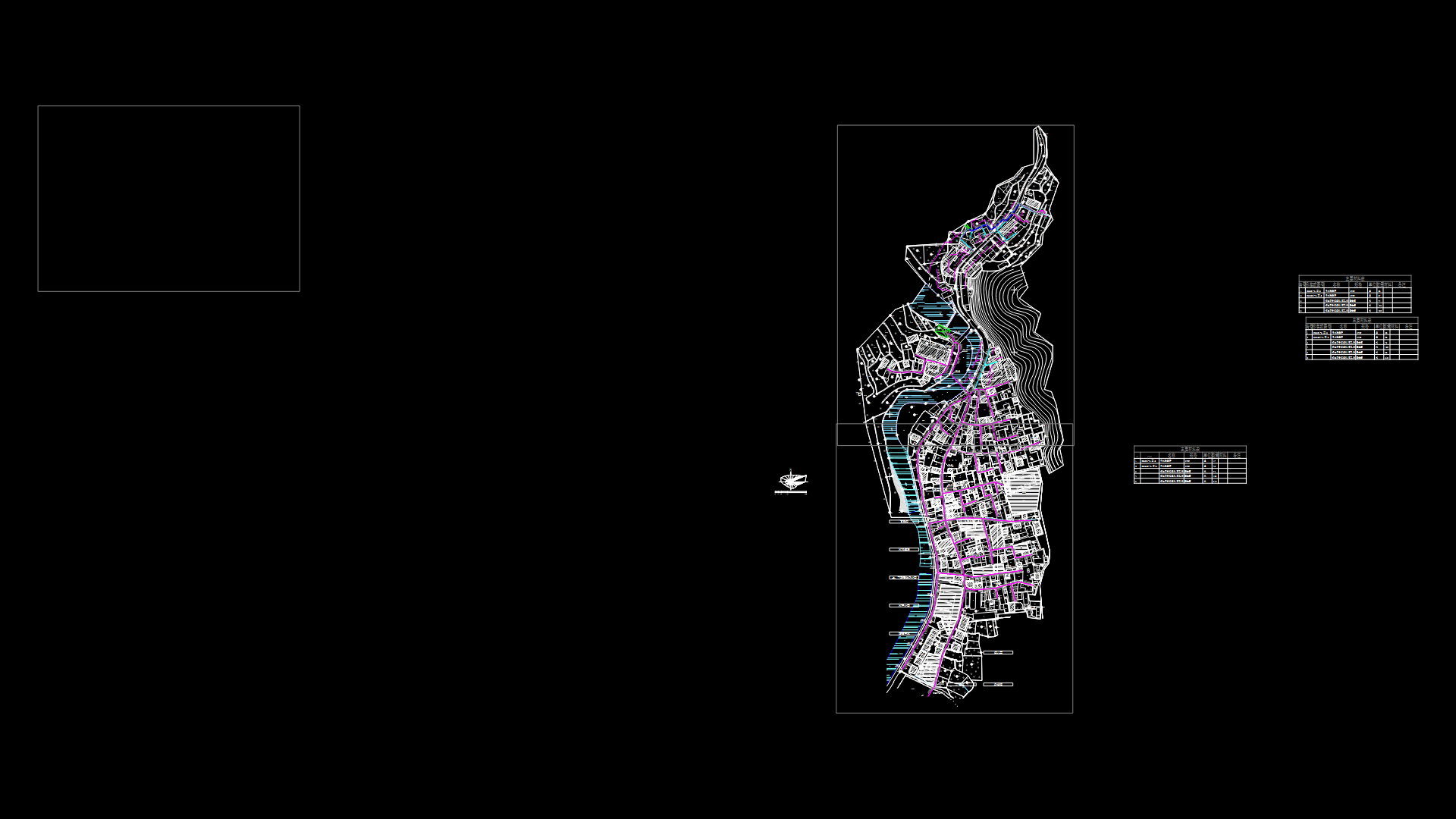
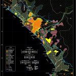
Plan Of Major Uses Of Trujillo DWG Plan for AutoCAD

Plan Plan Preparation and Uses of Land in the city of Trujillo; Equipments and urban uses; with zoning and urban areas .
Drawing labels, details, and other text information extracted from the CAD file (Translated from Galician):
Reflections, future coastal freeway, l.p., s.s., f.a., p.p., s.s., section, s.s., scale:, f.a., l.p., Current Pan-American highway, l.p., v, scale:, l.p., section, p.p., p.p., p.s, section, industrial road avoidance road, l.p., scale:, l.p., beach, section in urban area, section, l.p., scale:, p.p., p.p., ecological route, av. federico villareal, p.p., l.p., section, p.p., p.p., scale:, p.p., l.p., legend, traditional agricultural area, new populated centers, industrial area, c.Poblados rurales, Current residential urban area, urban expansion area, area of special uses, expansion area of c.p. rural, archaeological site, area of ecological conservation, coastal recreational area, area of ecological protection, zoned parks, area of ecological treatment, area of agricultural expansion, area of special regulation, zone eriaza, Current paths, projected ways, general uses of the soil, ways, road sections, project trujillo mar, scope of the project, valley chicama, ecological route, rio moche, Pacific Ocean, trujillo, valley moche, laredo, the miracle, ground floor, Huanchaco, whitish, buenos aires, north america highway, chiclayo, avoidance way, prolong av. villarreal, avoidance way, prehispanic wall, serrano, a. i. bridge, a. i. galindo, the kings, huaca, sedalib, the puddle, puerto morin, santiago de cao, letter, the caramel, give it, cº prieto, huañape tip, pampa of the salt mines, huaca de gallinazo, little huancaquito, letter, little boy, tupac amaru, the hills, ramon castilla, whitish, miramar, this elena, natural lagoon, beech from the tower, n.c.p., new laredo, huaca la concha, Huaca the Emerald, huaca el dragón, huaca takaynamo, gaundo, c.p. holy sunday, the delights, moche, wetlands, three sticks, rafters, wetlands, bocana del rio moche, salaverry, uripe tip, tip the herd, grass tip, puerto rico, river look, n.c.p., uripe city, n.c.p., the cornerstone, n.c.p., the high, ruins, Broken three sticks, limite north province of trujillo, Pacific Ocean, barracks, regional conservation area, hills of the hut hill, pig park, sanitary landfill, zonal park, shaft hill, cº piedra parada, cº portachuelo, broken honda, Broken dry river, southern boundary of trujillo province, broken uripe, rio moche, tall, san carlos, airport villa, bellamar, beautiful, horizon, hill goats, c.p. high trujillo, alto laredo, n.c.p., high salaverry, cº prieto, high salaverry, industrial zone, fat tip, valley I see, future coastal freeway, river look, the tropic, villa del mar, huaca the star, of Huanchaco, future coastal freeway, airport, prolong av. villarreal, simbal, poroto, avenue a, Huanchaco road, industrial road, Pan-American highway, prolg av. villarreal, ecological route, mother channel, l.p. property limit, f.a. future enlargement, garden, warranty, s.s. secondary track, p.p. main track, parking, earth, path, legend
Raw text data extracted from CAD file:
| Language | N/A |
| Drawing Type | Plan |
| Category | City Plans |
| Additional Screenshots |
 |
| File Type | dwg |
| Materials | Other |
| Measurement Units | |
| Footprint Area | |
| Building Features | Car Parking Lot, Garden / Park |
| Tags | autocad, beabsicht, borough level, city, DWG, equipments, land, major, plan, political map, politische landkarte, preparation, proposed urban, road design, stadtplanung, straßenplanung, trujillo, urban, urban design, urban plan, zoning |
