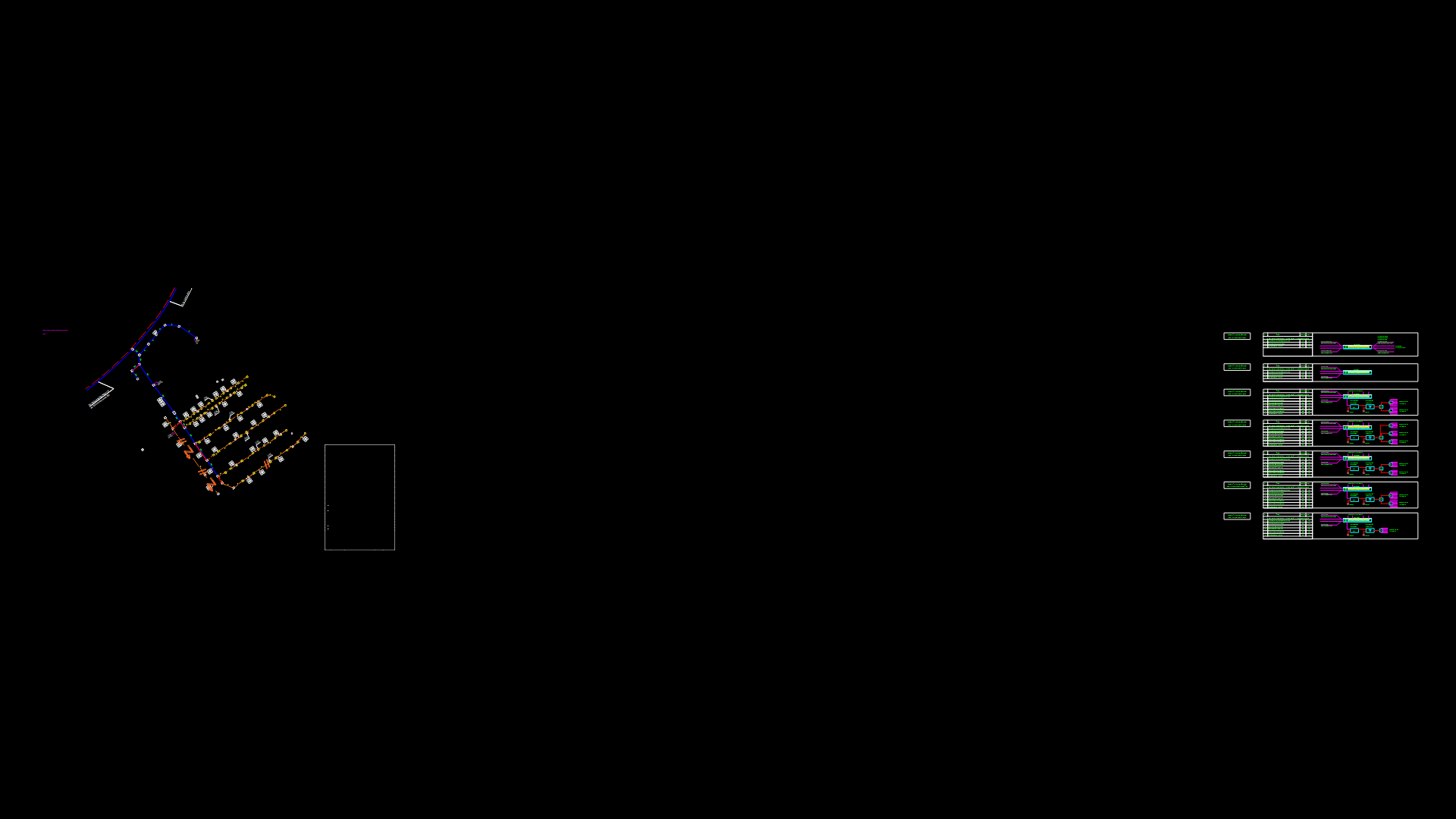
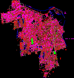
Plane And Red Storm Andamarca DWG Plan for AutoCAD

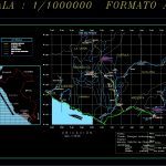
Location Plan Town of Andamarca Center for Realization of Red Storm
Drawing labels, details, and other text information extracted from the CAD file (Translated from Spanish):
Scale format, legend, Tunnel canal built, Asphalt road, Unpaved road, railroad track, Provincial boundary, River, Bolivia, Colombia, Brazil, Arequipa, Ecuador, lime, Condesuyos, Castile, the Union, Walk, Caylloma, Pacific Ocean, Applause, Chuquibamba, Yanaquihua, Arequipa, Volcan misti, Rio colca, Rio majes, Rio camana, Chila chila, Walk and, puddle, Ispacas, Iray, Snowy coropuna, scale, Yura, Sumbay, Rio chili, Sumbay river, Pan American, highway, Of majes, Pampa alta, Corire, Majors, Valley, Rio colca, Huambo, Cabanaconde, Rio colca, Castile, high, Carmen alto, Little valley, Cotahuasi, Attic river, penthouse, Caraveli, Punch, Tea towel, Quicacha, sheet, Lamina nº:, drawing:, scale:, design:, flat:, date:, Location sketch, E.r.o.c., January, owner:, Location:, draft:, Municipal District of charcana, Province the union, Apartment Arequipa, Locality andamarca, District charcana, Constr. Drain andamarca, Andamarca, Charcana, Project area
Raw text data extracted from CAD file:
| Language | Spanish |
| Drawing Type | Plan |
| Category | Water Sewage & Electricity Infrastructure |
| Additional Screenshots |
 |
| File Type | dwg |
| Materials | |
| Measurement Units | |
| Footprint Area | |
| Building Features | Car Parking Lot |
| Tags | autocad, center, distribution, DWG, fornecimento de água, kläranlage, l'approvisionnement en eau, location, plan, plane, Red, storm, supply, town, treatment plant, wasserversorgung, water |
