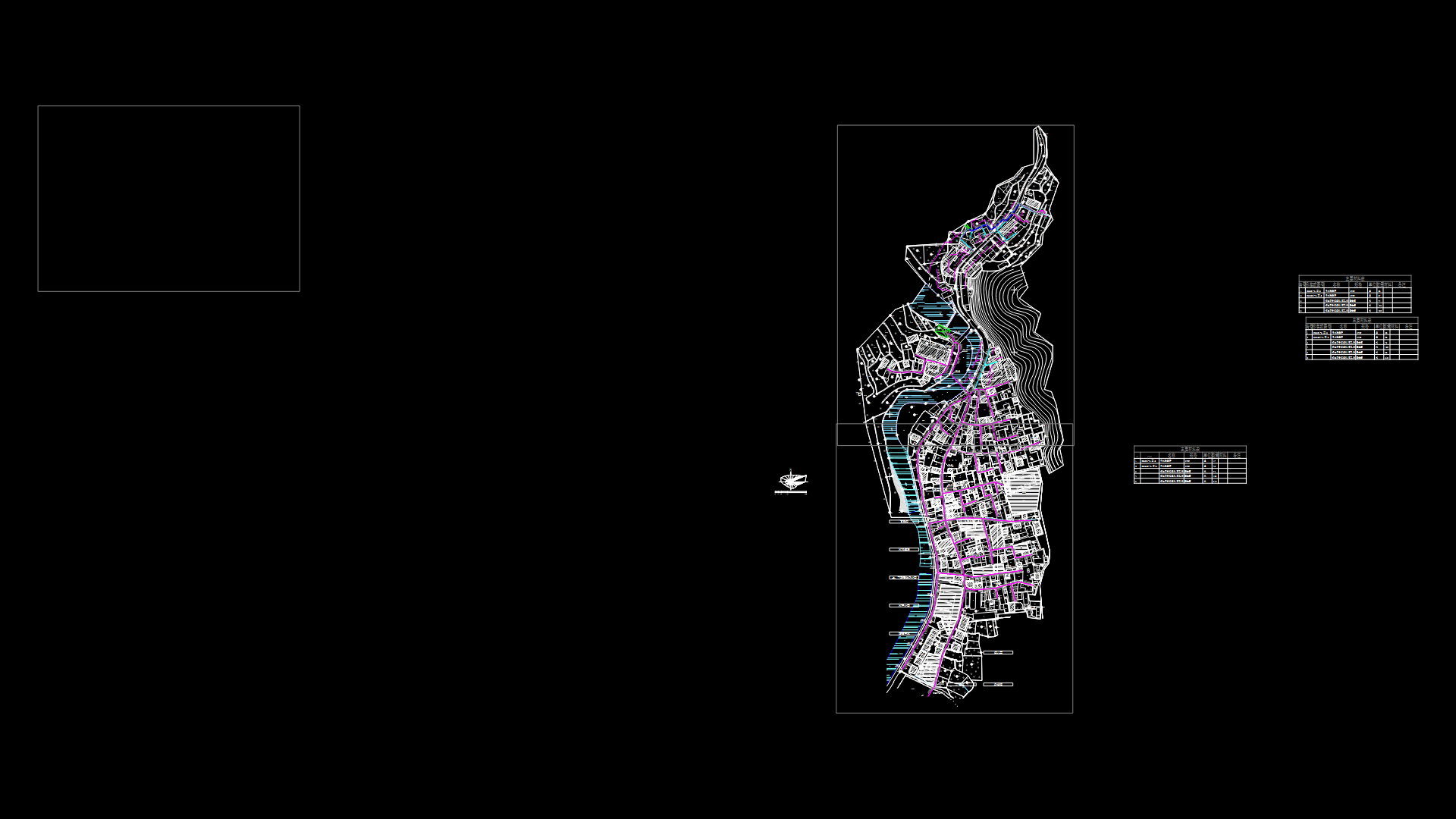
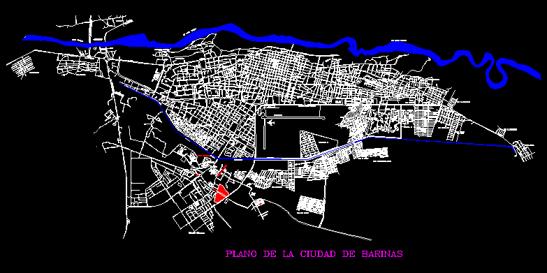
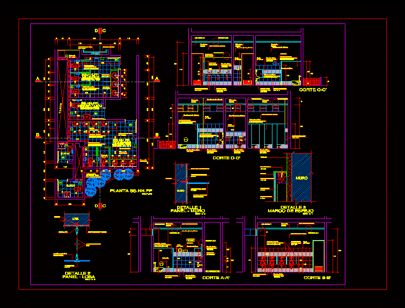
Plane Ocumare Del Tuy DWG Block for AutoCAD
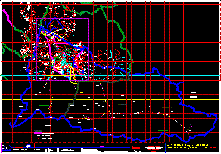
Plane district Tomas Lander at at Mirando State Venezuela – Sectors, Pluvial channels and main routes
Drawing labels, details, and other text information extracted from the CAD file (Translated from Spanish):
plan type plant, low level, topographic survey, municipality tomas lander state miranda, lev, lime:, rev:, dib:, obs:, owner:, Location, area:, esc:, fec:, top. linaxis, street ppal. from tocuyito, topography linaxis, bedroom, street tocuyito, Street, post, post, xxxw, xxxz, coconut tree, reservoir ocumarito, the cerritos, hda. the oaks, Ceiba, the cabrera, little valley, hda. salamanca, the three letters, hda. the guaguitas, the guaguitas, the little houses, will harry gregorio, cantarrana farm, hda. Cantarrana, the door of the forest, parceling numbers down, sandy, you will do long meadow, matalinda farm, hda. Cantarrana, kill beautiful, pitahaya, hda. the zamuro, the water down, the pica, Uverite background, bottom jobito, the bosua, gas pipeline, Miranda City, the green beans, The palm, hill mollejones, splitting the grifales, waterhole, the chorrerones, barralito, calls out, peppermint, the ceiba, anguine, the torus, the Uverite, ocumarito, colombia mendoza, mendoza, always alive, pinata, the place, san antonio de cua, you will do it tomorrow, Shed, parcelation mata prinera, Sponsored links, Water, metropolitan airport, marito, araguita, san onofre farm, carapace, manarito, hda. araguita, del tuy, the hill, you will ranch, hda. Saint Ana, hda. tile house, black earth, piloncito, onotos, aging sheds, santa, Barbara, cement factory, mendoza, slum settlement, you will ranch, hacienda marisela, rangel, summery, guarataro, lizard, the tapir, tuy farm, the hornitos, the yaguas, s. Bernard, gas pipeline, the hill, marito, real step, urb., cum, sub station, green Valley, urb. summery, urb. long valley, Saint Paul, urb. araguita, the ditch, intercommunal charallave ocumare, kill beautiful, urb., line, belongs, hydro capital, line, belongs, hydro capital, electricity from, every one, camatuy, the tapir, I closed the rag, hill pebble of anguina, I closed the rag, hill bucarito, top umbrella, hill bucarito, top umbrella, hill bucarito, sea., Bolivarian Republic of Venezuela, ministry of infrastructure, regulation of public works urban development, regional relative location, Caribbean Sea, Miranda, aragua, Metropolitan area, freeway, conventional signs, paved road, dirt road, railway under construction, tunnel, bridge, electric power line, houses buildings, main curve, intermediate curve, gas pipeline, curve in depression, River, ravine, reservoirs, peace castle simon bolivar, Miranda State, deputy director of planning general direction of planning, scale:, date:, cemetery, cristobal municipalities, digital orthotopic survey, transverse mercury projection, horizontal data: the canoe, international spheroid spindle, source:, orthophotomaps scale of i.g.v.s.b. February, update from spot satellite images, of the elaborated by foundation engineering institute., meters, scale, equidistance between curves of meters level, aerial photogrammetric survey made by, airbricks of venezuela c.a. with April aerial photographs, penetration path, gas line, via gas station, san basilio, the stable, observation:, suc. baute, neighborhood of january, threshing, black rocks, the
Raw text data extracted from CAD file:
| Language | Spanish |
| Drawing Type | Block |
| Category | City Plans |
| Additional Screenshots |
 |
| File Type | dwg |
| Materials | |
| Measurement Units | |
| Footprint Area | |
| Building Features | Car Parking Lot |
| Tags | autocad, beabsicht, block, borough level, channels, del, district, DWG, plane, pluvial, political map, politische landkarte, proposed urban, road design, sectors, stadtplanung, state, straßenplanung, urban design, urban plan, Venezuela, zoning |
