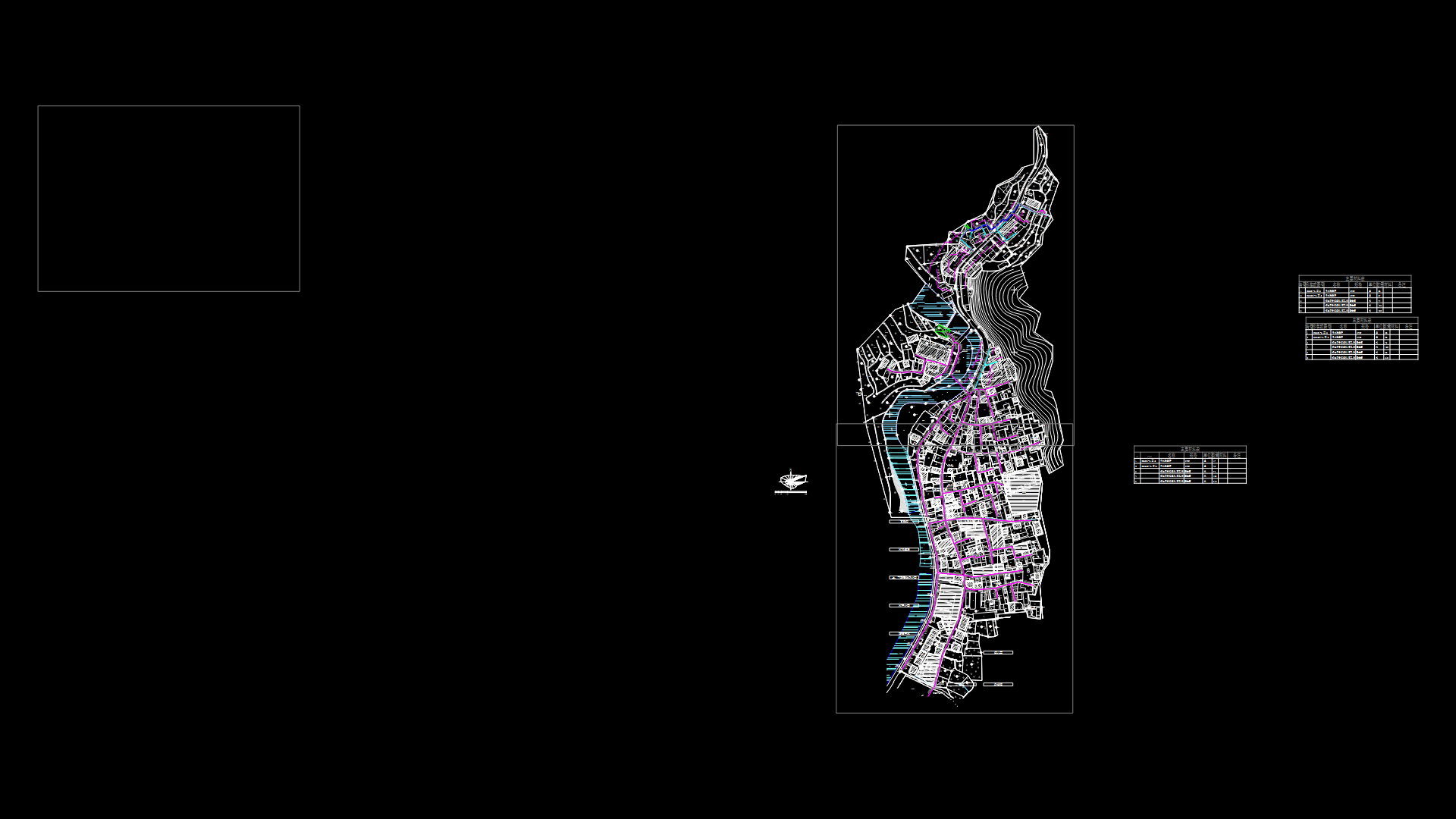
Planimetry DWG Block for AutoCAD

Planimetry municipality o Intipuca – El Salvador
Drawing labels, details, and other text information extracted from the CAD file (Translated from Spanish):
street the union, cemetery, san miguel street, west street, central street william walker west, martin street west loop, west street, pte street, west street, street east, central Street, martin street, street east, avenue, av. ursulo g. marquez north, north avenue, south avenue, av. ursulo g. marquez, coast road, hda brown, the marañon, cas santa julia, Related searches, alonso joy stadium, the palm trees, neighborhood the amatal, colina, neighborhood downtown, neighborhood concepcion, col. san antonio, col. marquez, post, bac, municipal trail, Health Unit, church, Park, church el calvario, Municipal Hall, court, municipal market, intipuca, the amatal, hda rosemary, intipuca, avenue, south, ursulo g., marquez sur, william walker ote, av. north, street east, west street
Raw text data extracted from CAD file:
| Language | Spanish |
| Drawing Type | Block |
| Category | City Plans |
| Additional Screenshots |
 |
| File Type | dwg |
| Materials | |
| Measurement Units | |
| Footprint Area | |
| Building Features | Car Parking Lot, Garden / Park |
| Tags | autocad, beabsicht, block, borough level, DWG, el, municipality, planimetry, political map, politische landkarte, proposed urban, road design, salvador, stadtplanung, straßenplanung, urban design, urban plan, zoning |


