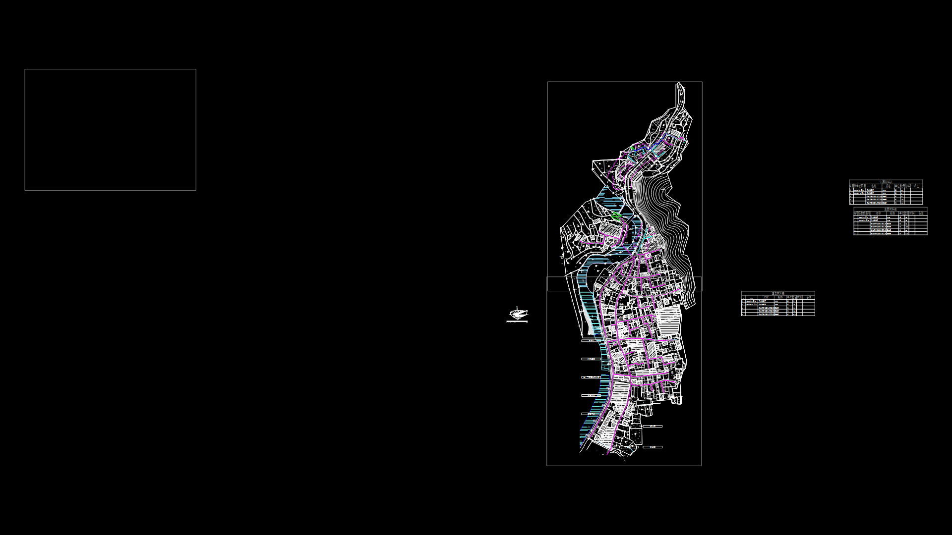
Plano City Of Chihuahua DWG Block for AutoCAD
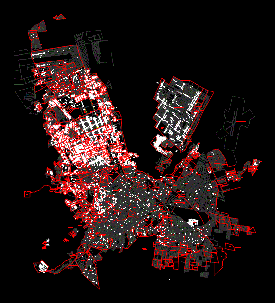
Plano city of Chihuahua; Chihuahua. Mexico Streets; main avenues; major colonies; historical Center; urban planning of the city of Chihuahua; UACH new university campus; parks; industrial complex
Drawing labels, details, and other text information extracted from the CAD file (Translated from Spanish):
general map of the city of chihuahua, symbology, scale, date, municipal treasury subdireccion of technical cadastre of the padron control of the debt, road, colony, industry limit, colony limit, general map of the city of chihuahua, municipal treasury subdireccion of technical cadastre of the padron control of the debt, symbology, industry limit, scale, date, general map of the city of chihuahua, symbology, scale, date, municipal treasury subdireccion of technical cadastre of the padron control of the debt, road, colony limit, north, colony name, general map of the city of chihuahua, municipal treasury subdireccion of technical cadastre of the padron control of the debt, symbology, road, colony, industry limit, scale, date, colony limit, general map of the city of chihuahua, symbology, scale, date, municipal treasury subdireccion of technical cadastre of the padron control of the debt, road, colony, industry limit, colony limit, magnetic, general map of the city of chihuahua, municipal treasury subdireccion of technical cadastre of the padron control of the debt, symbology, colony, industry limit, scale, date, colony limit, arroyo la galera, stream, stream, animas, arroyo la galera, stream, the galley, sacrament, River, stream wicker, rio sacramento, stream wicker, bird. development, vacant lot, c. cord. alai, c. Syrian villas, c. cord. Ecuadorian, bird. san miguel el grande, c. cord. tica, mountain range, c. cord. alai, Andean mountain range, mountain range vallunas, c. cord. jama, c. cord. vallunas, mountain range vallunas, bird. san miguel el grande, c. cord. white, Andean mountain range, c. cord. alpine, c. Syrian villas, c. cord. sharp point, c. cord. alpine, c. cord. Bolivian, c. cord. alpine, c. agostadero field, c. cord. of condor, c. cord. peace, c. cord. alai, c. cord. of condor, c. cord. tahuin, c. miraflores school, c. Santa Cruz College, c. college of guadalupe, c. jesus helguera, c. college of fide, abolition of slavery, c. gregory college, san gregorio, c. Andean mountain range, c. college of queretaro, c. san pedro col., c. eugenio daneri, c. gregorio vazquez, c. setting up repetto, c. art walk, prol. abolition of slavery, c. pedro laboria, c. enrique echeverria, c. Manuel Cabre, c. zapopan school, c. alberto totila, c. Wilfredo, c. san miguel el grande, san pedro, c. college of san pedro, c. ana malfatti, c. school of, c. san pedro col., maple, c. Andean mountain range, c. Manuel Cabre, c. Maria Matrins, lam, c. Saint Ursula College, c. Saint Paul’s College, c. cholula school, c. Andean mountain range, c. pedro figari, c. alberto guignard, art walk, arroyo el picacho, c. Juan O’gorman, c. solar xul, c. Juan O’gorman, c. San Carlos College, c. Saint Mark’s College, c. school sta. monica, av. black mountain range, c. Saint Mark’s College, cloister of santa monica., c. cloister of the Jesuits., san miguel el grande, c. linen, c. art walk, av., av., pv., sports
Raw text data extracted from CAD file:
| Language | Spanish |
| Drawing Type | Block |
| Category | City Plans |
| Additional Screenshots |
 |
| File Type | dwg |
| Materials | Wood |
| Measurement Units | |
| Footprint Area | |
| Building Features | Deck / Patio, Car Parking Lot, Garden / Park |
| Tags | autocad, avenues, beabsicht, block, borough level, chihuahua, city, colonies, DWG, flat, main, major, mexico, plano, political map, politische landkarte, proposed urban, road design, stadtplanung, straßenplanung, streets, urban design, urban plan, zoning |
