Querecotillo Road DWG Section for AutoCAD

Querecotillo road – Sections
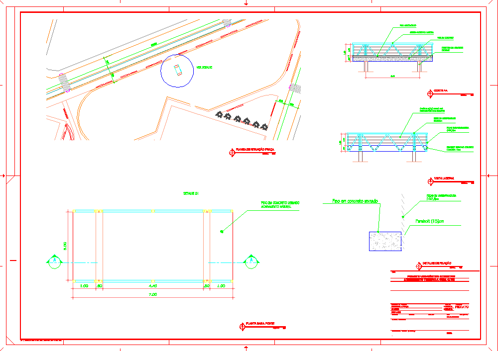
Drawing labels, details, and other text information extracted from the CAD file (Translated from Spanish):
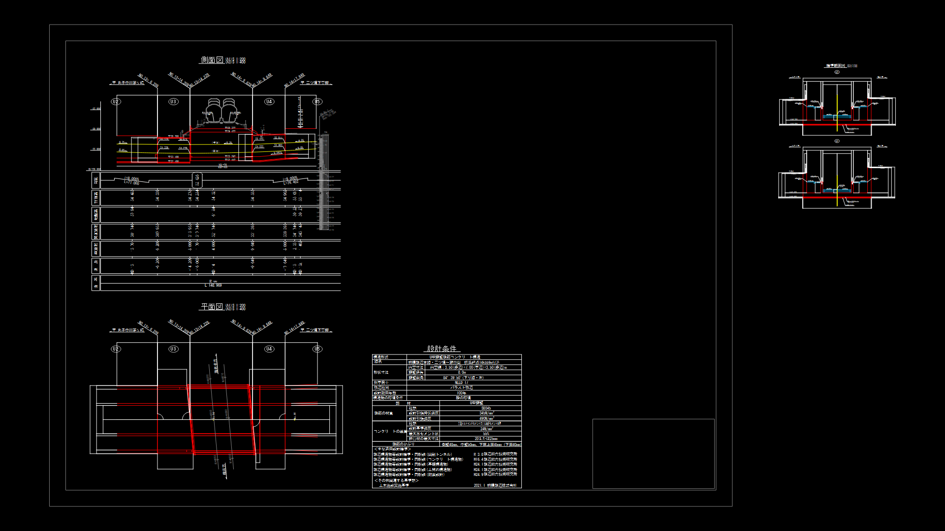
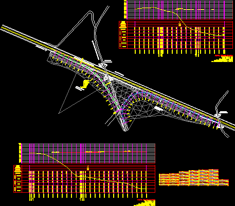
nm, slope, elevation, subgrade, terrain, height cut, fill height, alignment, mileage, no. pi, sent., delta, radio, tang., lc, ext., pi, pc, pt, north, east, Coordinate table and elements of curves, plant and longitudinal profile, project :, plane :, scale :, dist. querocotillo, region: cajamarca, prov. cutervo, topo: o.q.a v.w.v, date :, location :, indicated, loc. huancas-el mill, delights., special project jaen san ignacio bagua, cad: o.q.a, responsible:, supervisor:, approved: executive direction., revised: study address, cpc guido villanueva zuñiga, ing. wilper faya hernandez, natural slope of the land, grazing road, of the progressive, zone of collapse, normal loose material, study at profile level construction of the querocotillo highway – techin bridge – section: the mill las delicias
Raw text data extracted from CAD file:
| Language | Spanish |
| Drawing Type | Section |
| Category | Roads, Bridges and Dams |
| Additional Screenshots |
|
| File Type | dwg |
| Materials | Other |
| Measurement Units | Metric |
| Footprint Area | |
| Building Features | |
| Tags | autocad, DWG, HIGHWAY, pavement, Road, route, section, sections |
Related Products

Same Contributor
Featured Products


