Razante Stroke Road DWG Block for AutoCAD
ADVERTISEMENT

ADVERTISEMENT
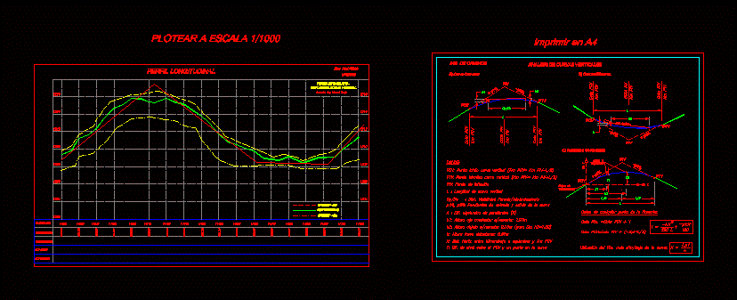
It is an example of how to present a blueprint for engineering courses
Drawing labels, details, and other text information extracted from the CAD file (Translated from Spanish):
savanna, miletrajes, ground dimensions, ground level, grade line -, teacher: ing manuel borja, vertical curved staking, alt. cut, alt. filling, longitudinal profile, ing. of roads, piv, pcv, ptv, elevation pcv, km pcv, elevation piv, km piv, elevation ptv, km ptv, light beam, analysis of vertical curves, where :, piv: inflection point, l: length of vertical curve , origin of, coordinates:, x: dist. horiz between kilometer to rethink and km pcv, and: dif. of level between the pcv and a point in the curve, dimensions of any point of the vertical line :, axis x, axis y, kilom. a, stake out, ground axis
Raw text data extracted from CAD file:
| Language | Spanish |
| Drawing Type | Block |
| Category | Roads, Bridges and Dams |
| Additional Screenshots |
 |
| File Type | dwg |
| Materials | Other |
| Measurement Units | Metric |
| Footprint Area | |
| Building Features | |
| Tags | autocad, block, blueprint, courses, DWG, engineering, HIGHWAY, pavement, present, Road, route, stroke |


