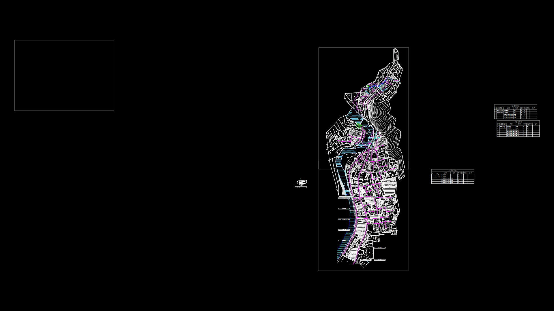
Subdivision Map, Perimeter, Location And Utm Coordinates – – Peru DWG Block for AutoCAD
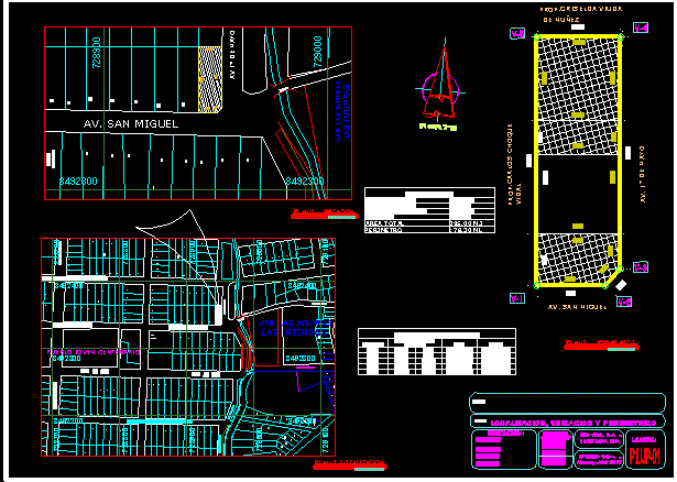
IS A LOCATION MAP perimeter, LOCATION AND UTM COORDINATES FOR PUBLIC RECORDS
Drawing labels, details, and other text information extracted from the CAD file (Translated from Spanish):
prop., indicated, date:, also March of, scale:, apple lotion, leica geosystems, total station, fifth house, tamburco, abancay, apurimac, antabamba low, topog team, sheet:, flat:, property name, district:, province:, Department:, sector, Location:, asosiacion hhhhhhhhhhhhhhhhh, sheet:, topog team, total station, leica geosystems, asosiacion hhhhhhhhhhhhhhhhh, perimeter topography, Location:, sector, district:, province:, Department:, property name, flat:, antabamba low, tamburco, abancay, apurimac, fifth house, prop., indicated, scale:, also March of, date:, av. tall meadow, prol. samanez ocampo, av. taracalle, magnetic, mwsistop, north, summary of areas, built area, built area, total built area, free area, total area, perimeter, cause without walls of contension, houses adjoining the cause of ravine, vulnerable zones, unstable ground, vulnerable area, unstable soils, vulnerable area, affected basic services, subsidence total partial collapse of, leaks, area not suitable for urban purposes, vulnerable area, variation of the natural channel, drains, water evacuation, vulnerable area, huaycos floods, vulnerable area, unstable soils, vulnerable area, title:, area rectify: ha, bylayer, byblock, global, table of utm cordenadas, vertices, distance between vertices, East, north, scale, flat location, scale, flat map, ubigeo, leica geosystems, total station, topog team, indicated, date:, abancay. April, scale:, sheet:, prop., flat:, district:, province:, Department:, place, Location:, perimetric location, center, educational, av. jose maria arguedas, av. ampay, av de mayo, av. of May, jr the magnolias, av the qantus, the intimpas, av de mayo, av. Sun, av. San Miguel, prol. augusto s bondy, centenary young people, av. Sun, av. San Miguel, urb. the intimpas, av victor raul beech tower, prol. av panama, bridge, center, educational, the intimpas, av de mayo, av. San Miguel, urb. the intimpas, bridge, scale, perimetric plane, prop.carlos vidal shock, prop.griselda, av. San Miguel, av. of May
Raw text data extracted from CAD file:
| Language | Spanish |
| Drawing Type | Block |
| Category | City Plans |
| Additional Screenshots | Missing Attachment |
| File Type | dwg |
| Materials | |
| Measurement Units | |
| Footprint Area | |
| Building Features | Car Parking Lot |
| Tags | autocad, beabsicht, block, borough level, coordinates, DWG, location, map, perimeter, PERU, political map, politische landkarte, proposed urban, PUBLIC, records, road design, stadtplanung, straßenplanung, subdivision, topography, urban design, urban plan, utm, zoning |
