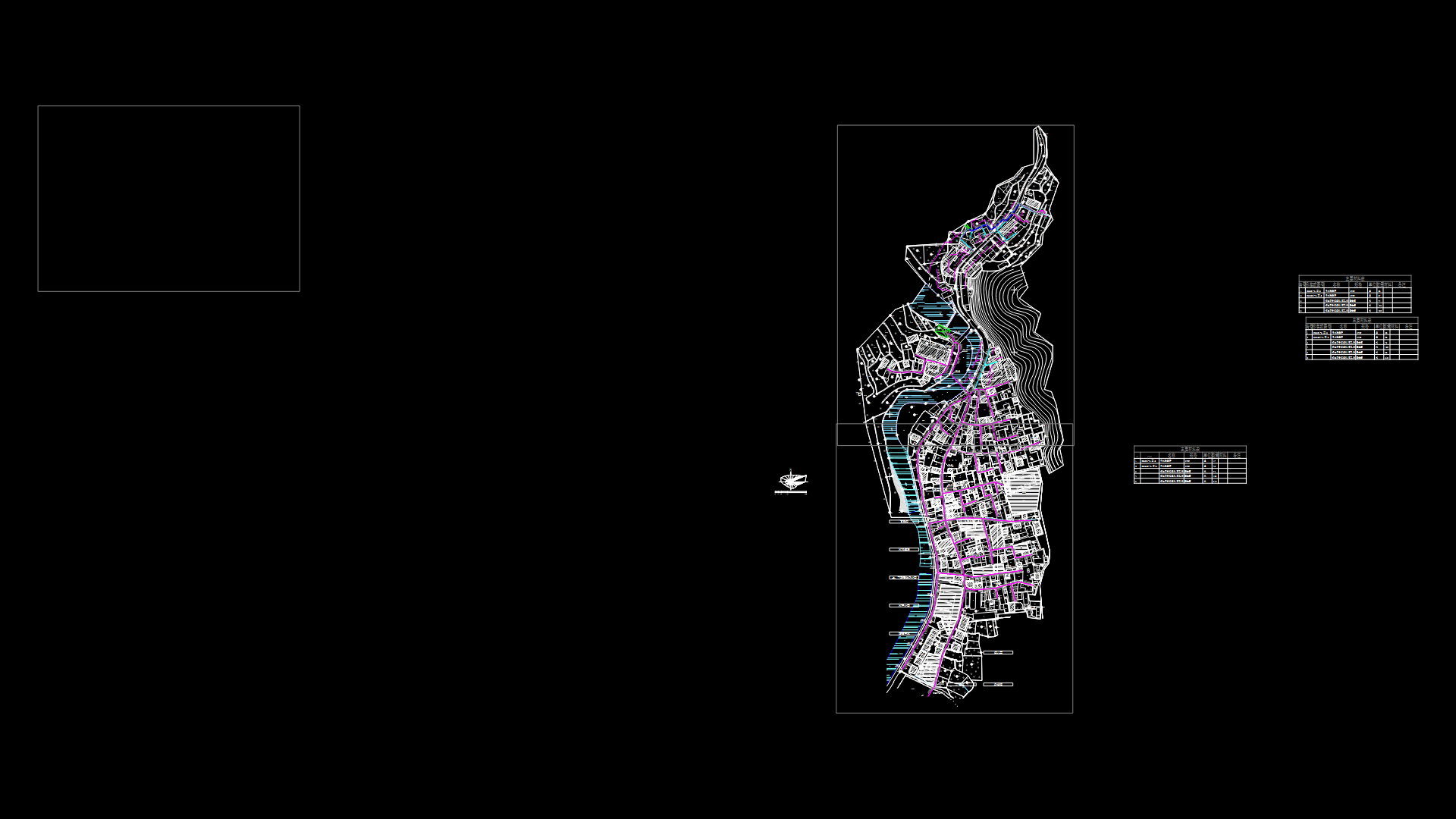
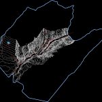
Topographic Map Locumba, Peru DWG Block for AutoCAD

Topographic Map Locumba; District of Jorge Basadre Province in Tacna. Peru
Drawing labels, details, and other text information extracted from the CAD file (Translated from Spanish):
other purposes, traditional village, park, villa locumba, state, uncultivated land, avenue la florida, ring road, street, chaucalana, property of third parties, farmland, annex sagollo, pampa sitana, human settlement, annex chipe trapiche, booth , Chipe Pedregal, Calle Toco, Buenavista Avenue, Cambaya Avenue, Locumba Avenue, Mirave Street, San Pedro Street, Aricota Street, Talaca Avenue, Jorge Basadre Avenue, Chululuni Street, Camilaca Street, Jirata Street, Candarave Avenue, Iilabaya Street, Street oconchay, avenue tacna, avenue camiara, reserved, area, plaza, services, health, avenue pallata, education, sports area, third party, property, services, communal, green area, trade, land owned by, jorge basadre, municipality provincial, south panamerican, other, ends, health services, populated center, high camiara, land owned by third parties, state property, area, public recreation, green area, road hac ia locumba, chipe pedregal, ilabaya, road to, land property, chipe trapiche, road, towards, communal services, sagollo, street los rosales, sports area, street las gardenias, pasaje los claveles, street los nardos, street los amancaes, street the orchids, the jasmine street, the violets passage, green, area, the bougainvillea street, the pines street, the geraniums street, new locumba, urbanization, tacna locumba road, main avenue, piñapa, human settlement:, education, reservoir, alfonso , ugarte, caceres, marshal, sucre passage, miguel grau, avenue circunvalacion, bolognesi, grau, san martin, street miguel, inclan, street sucre, street sanchez carrion, street bolognesi, street alfonso ugarte, circumvallation, avenue, passage, bolivar, meadow, leoncio, high tension line, road tacna – locumba, bridge, camiara, municipal, public, recreation, tacna – locumba, urbanization, municipal village
Raw text data extracted from CAD file:
| Language | Spanish |
| Drawing Type | Block |
| Category | City Plans |
| Additional Screenshots |
 |
| File Type | dwg |
| Materials | Other |
| Measurement Units | Metric |
| Footprint Area | |
| Building Features | Garden / Park |
| Tags | autocad, beabsicht, block, borough level, district, DWG, map, PERU, political map, politische landkarte, proposed urban, province, road design, stadtplanung, straßenplanung, Tacna, topographic, urban design, urban plan, zoning |
