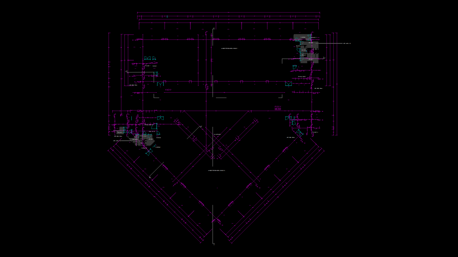
Topographic Survey Plan with GCD Point Cloud Elevation Data

Detailed topographic survey plan displaying terrain elevation data depicted through a dense point cloud. The drawing presents elevation measurements ranging from approximately 2017.86 to 2098.85 meters above sea level, creating a comprehensive terrain profile. The survey uses the GC200 block repeatedly throughout the drawing to mark elevation points, with over 14,900 individually placed coordinate markers. The drawing utilizes multiple specialized layers including GCD (Ground Control Data) and DMTZ (Digital Terrain Model Zone) for organizing topographic information. The triangular/irregular polygon boundary defined by polylines encompasses the surveyed area, with higher elevations (2080-2095m) concentrated in the upper portions and lower elevations (2017-2030m) in the southern section, indicating significant terrain variation of approximately 70-80 meters across the site.
| Language | English |
| Drawing Type | Plan |
| Category | Roads, Bridges and Dams |
| Additional Screenshots | |
| File Type | dwg |
| Materials | |
| Measurement Units | Metric |
| Footprint Area | Over 5000 m² (53819.5 ft²) |
| Building Features | |
| Tags | contour plan, elevation data, GCD, point cloud, site survey, terrain mapping, topographic survey |
Related Products


Same Contributor

Featured Products


