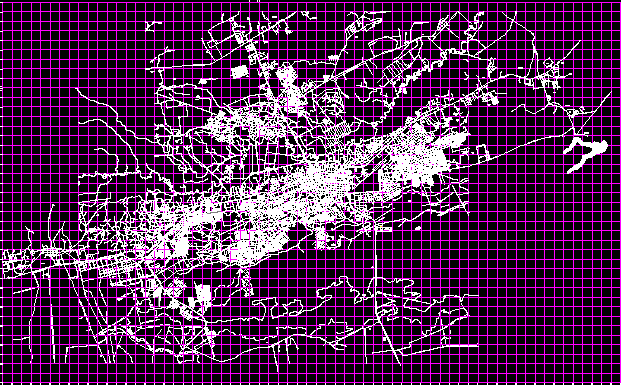
Use Of The Ground – Cusco City DWG Detail for AutoCAD
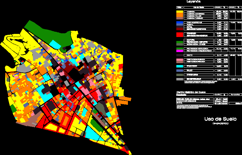
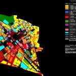
Drawing in format dwg with detailed report about use of the ground at histotical center of Cusco city
Drawing labels, details, and other text information extracted from the CAD file (Translated from Spanish):
use of diagnostic soil, historical center of cusco, description, area, perimeter, public space urban apples total, note: for the calculation of occupancy percentages of the different types of land use, the area occupied by urban apples, Legend Housing Housing Commerce Housing Workshop Housing Tourism House Lodging Hostel Hotel Services Touristic Services Financial Services Culture Recreation Sport Recreation Other Protection Ecological Protection Archeological Worship Public Institution Private Education Health Education Other Uses Not Determined, color, land use, area, Note: The figures correspond to the delimited area of the historical center of Cusco, but not to the buffer zone
Raw text data extracted from CAD file:
| Language | Spanish |
| Drawing Type | Detail |
| Category | City Plans |
| Additional Screenshots |
 |
| File Type | dwg |
| Materials | Other |
| Measurement Units | |
| Footprint Area | |
| Building Features | |
| Tags | autocad, beabsicht, borough level, center, city, cusco, DETAIL, detailed, drawing, DWG, format, ground, political map, politische landkarte, proposed urban, road design, stadtplanung, straßenplanung, urban design, urban plan, zoning |

