Full Model Dirt Road DWG Plan for AutoCAD

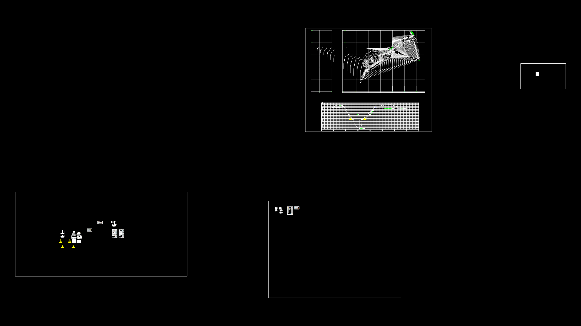
THIS IS A COMPLETE DRAFT AS PRESENTED PLANS FOR a dirt road. PLANS: GENERAL PLANT PLANTS AND PROFILE, CROSS SECTIONS.
Drawing labels, details, and other text information extracted from the CAD file (Translated from Spanish):
cont, axis, carr, type of, material, factor, abundance, compaction, ordinates of the, curve mass, filling, cut, subgrade, terrain, volume, thickness, elevation, profile, longitudinal profile, height, dimensions, slope, mileage, frame elements of horizontal curves, curve, delta, radius, arc, subtang, rope, area, under rope, level of elevation, level of terrain, typical section of cut and fill, slope of cut, fill slope, pumping , axis of way, typical section of cut, cycle, reservoir, raran, comes from cp, goes to, pampa, jcc, drawing:, plan:, project:, date:, lamina:, scale:, location:, professional: , construction of a dirt road, district municipality, scale:, indicated, populated center, comes from cp xx, goes to xx
Raw text data extracted from CAD file:
| Language | Spanish |
| Drawing Type | Plan |
| Category | Roads, Bridges and Dams |
| Additional Screenshots |
 |
| File Type | dwg |
| Materials | Other |
| Measurement Units | Metric |
| Footprint Area | |
| Building Features | |
| Tags | autocad, complete, draft, DWG, full, general, HIGHWAY, model, pavement, plan, plans, plant, presented, Road, route, track |
